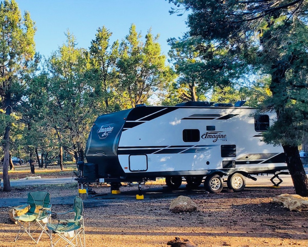
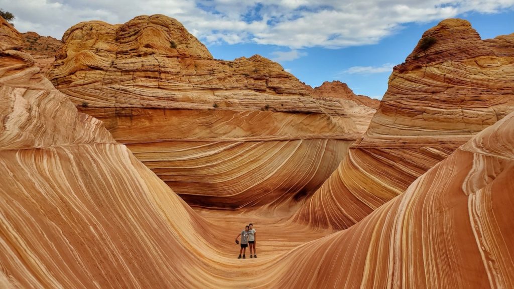
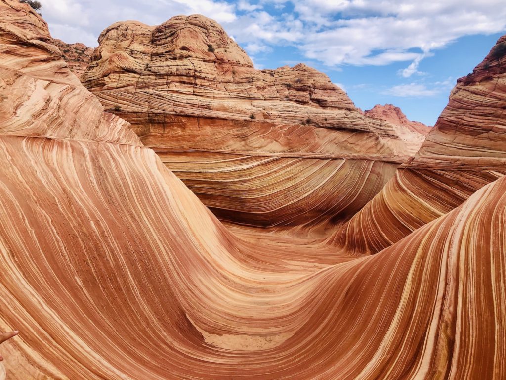
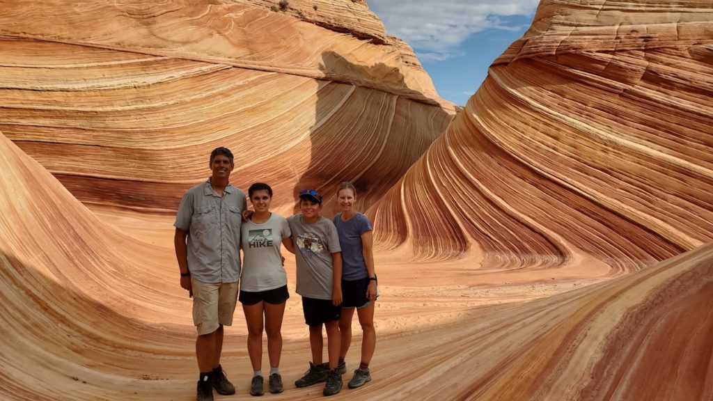
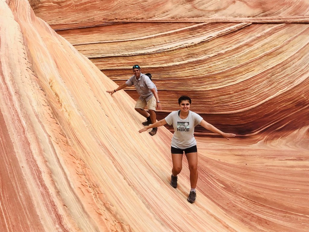
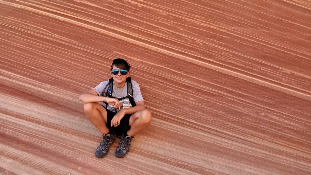
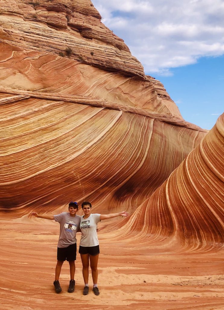
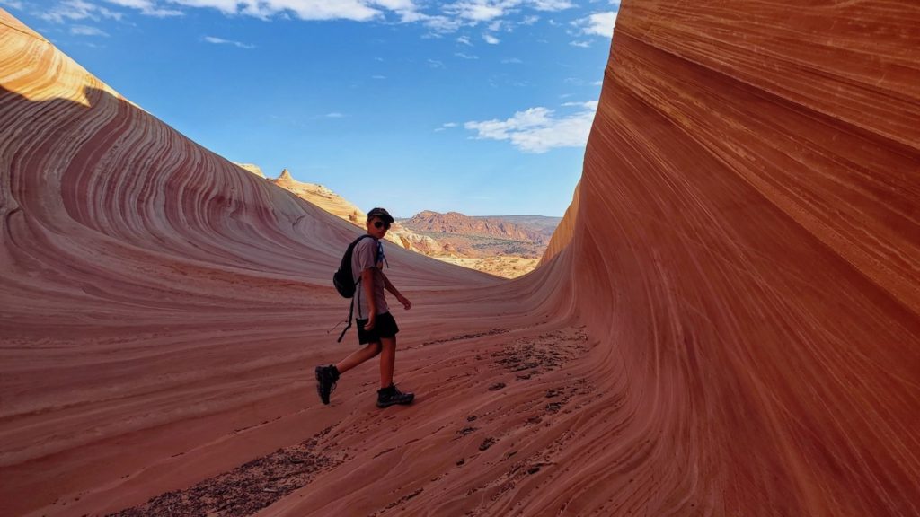
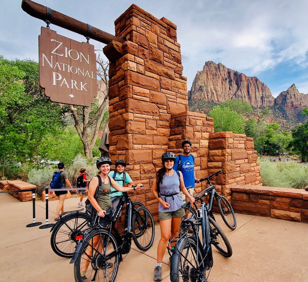
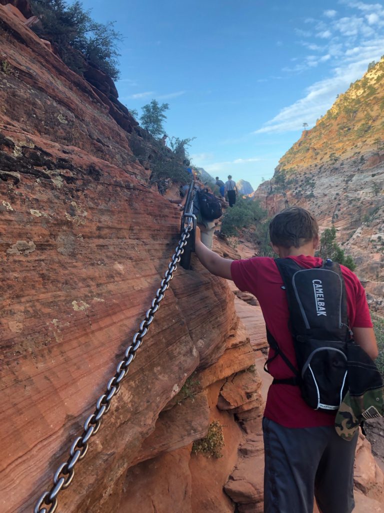
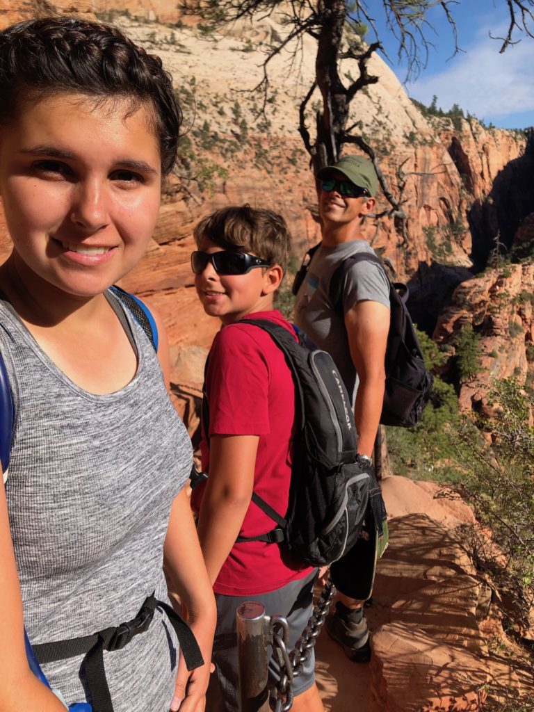
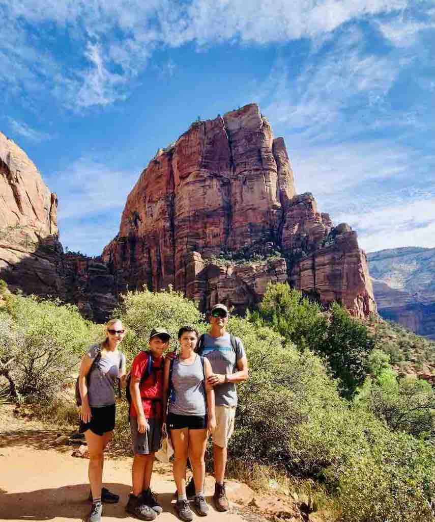
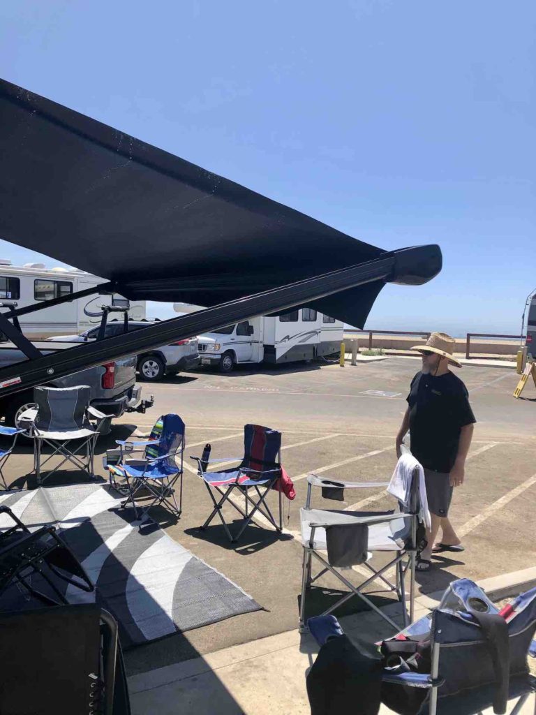
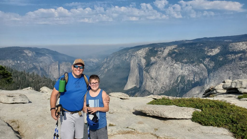
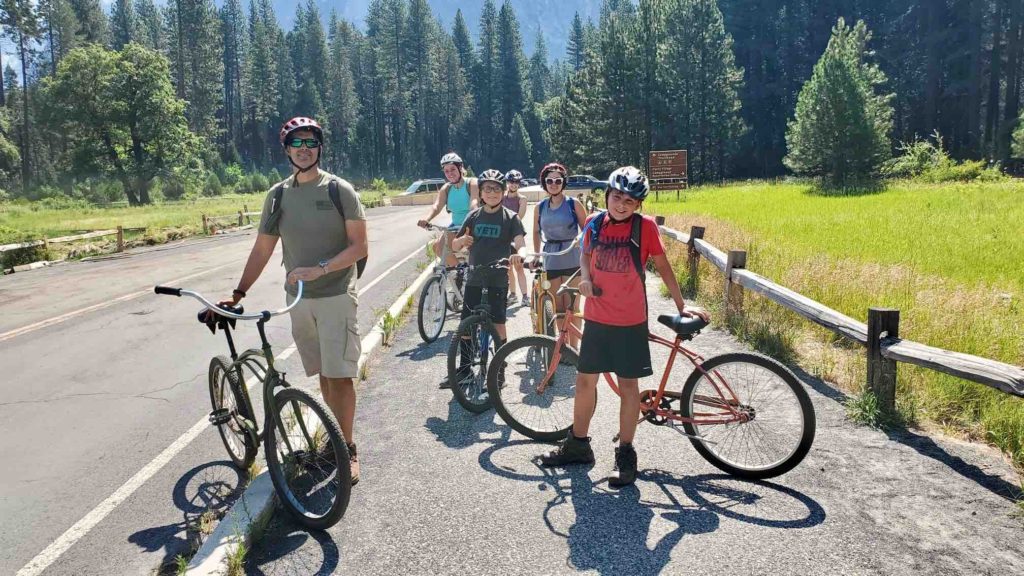
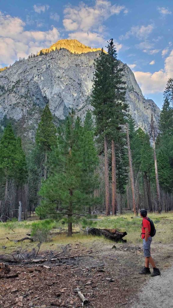
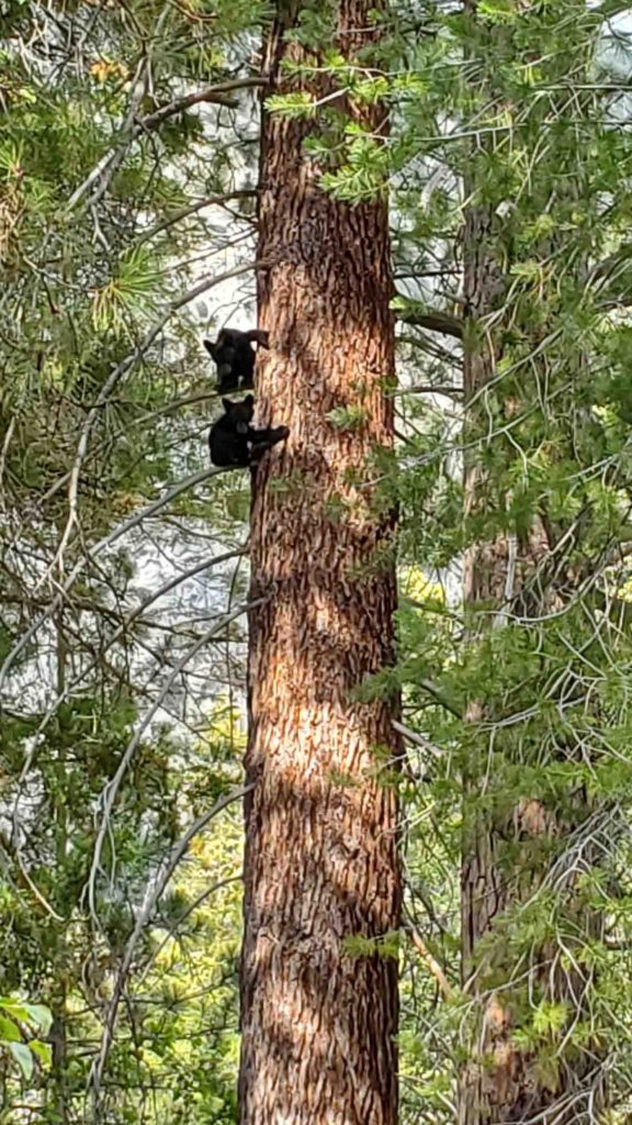
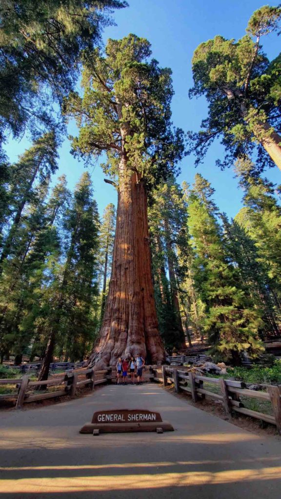
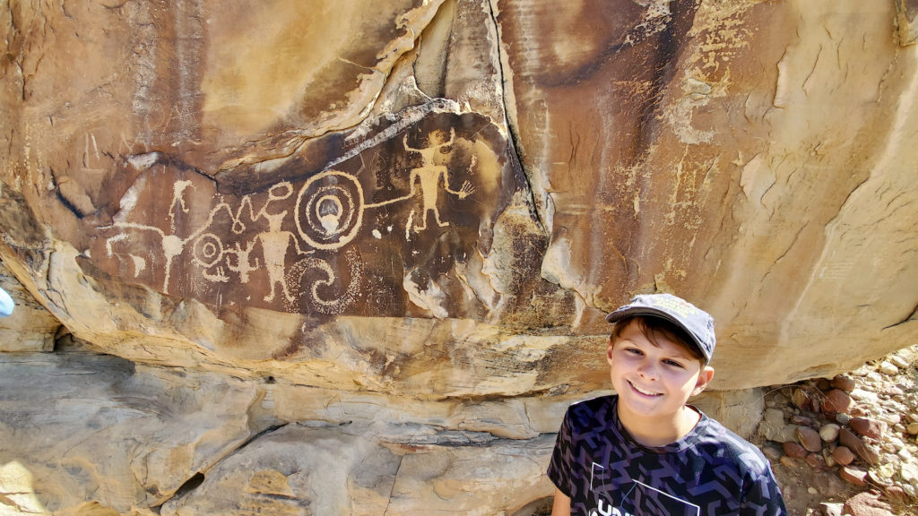
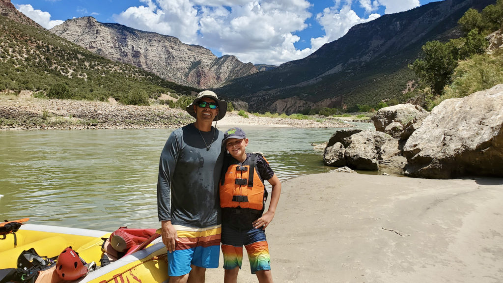
We visited the North Rim of the Grand Canyon in 2016 on our first family cross country camping trip. Matt and I visited the South Rim years ago on our way home from Florida but I wanted to see it again. Using the lottery system, we applied to hike down and stay at Phantom Ranch which is a ranch at the floor of the canyon. However, we weren’t selected to stay there so my backup plan was for us to hike down part of the canyon via the Bright Angel Trail. I wanted to feel the vastness of the canyon by being in it but unfortunately, that didn’t happen either. We rolled into the Grand Canyon right before a thunderstorm. We were all pretty tired from having completed The Wave hike that morning and I realized that we had hiked 24 miles over the previous three days. As the night went on, I started feeling worse, had chills and what felt like a fever. Matt took care of the kids and I was asleep by 7:30pm.
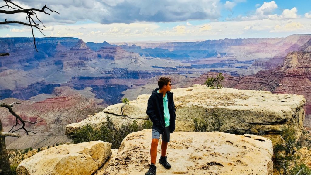
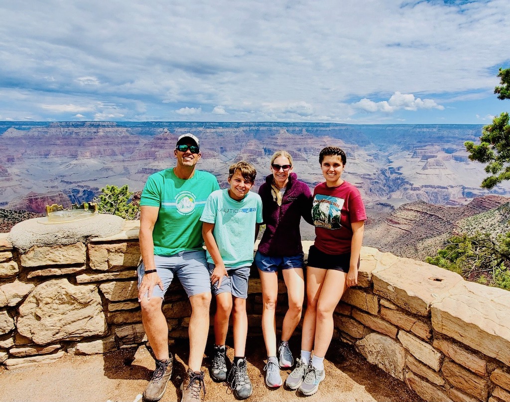
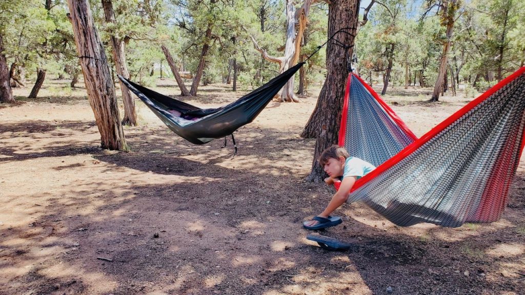
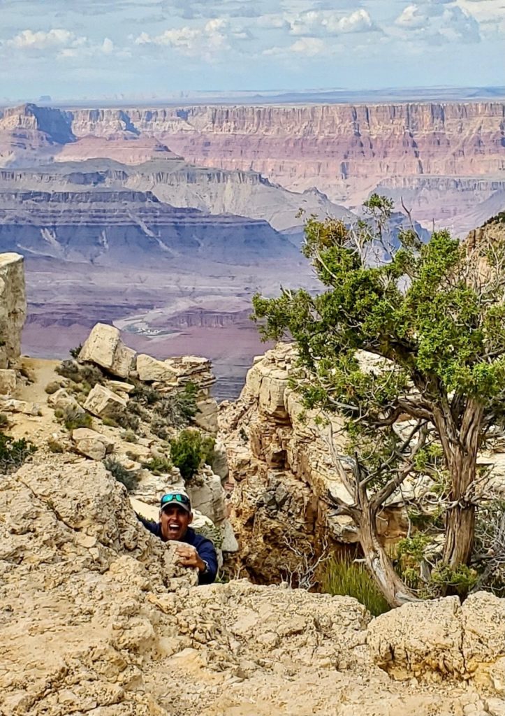
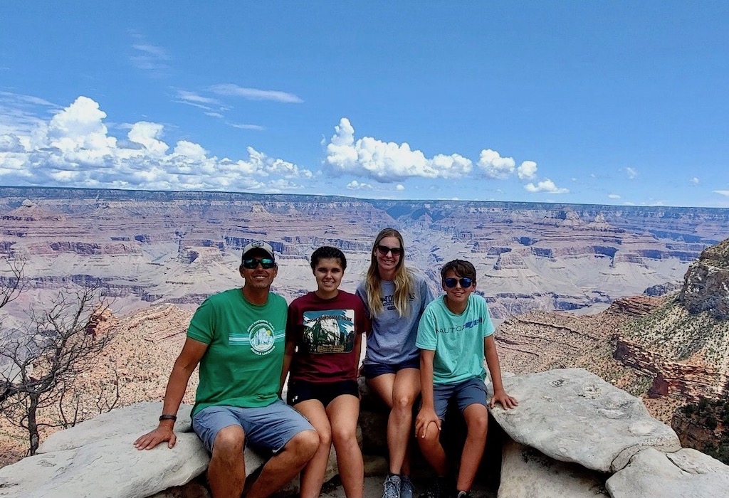
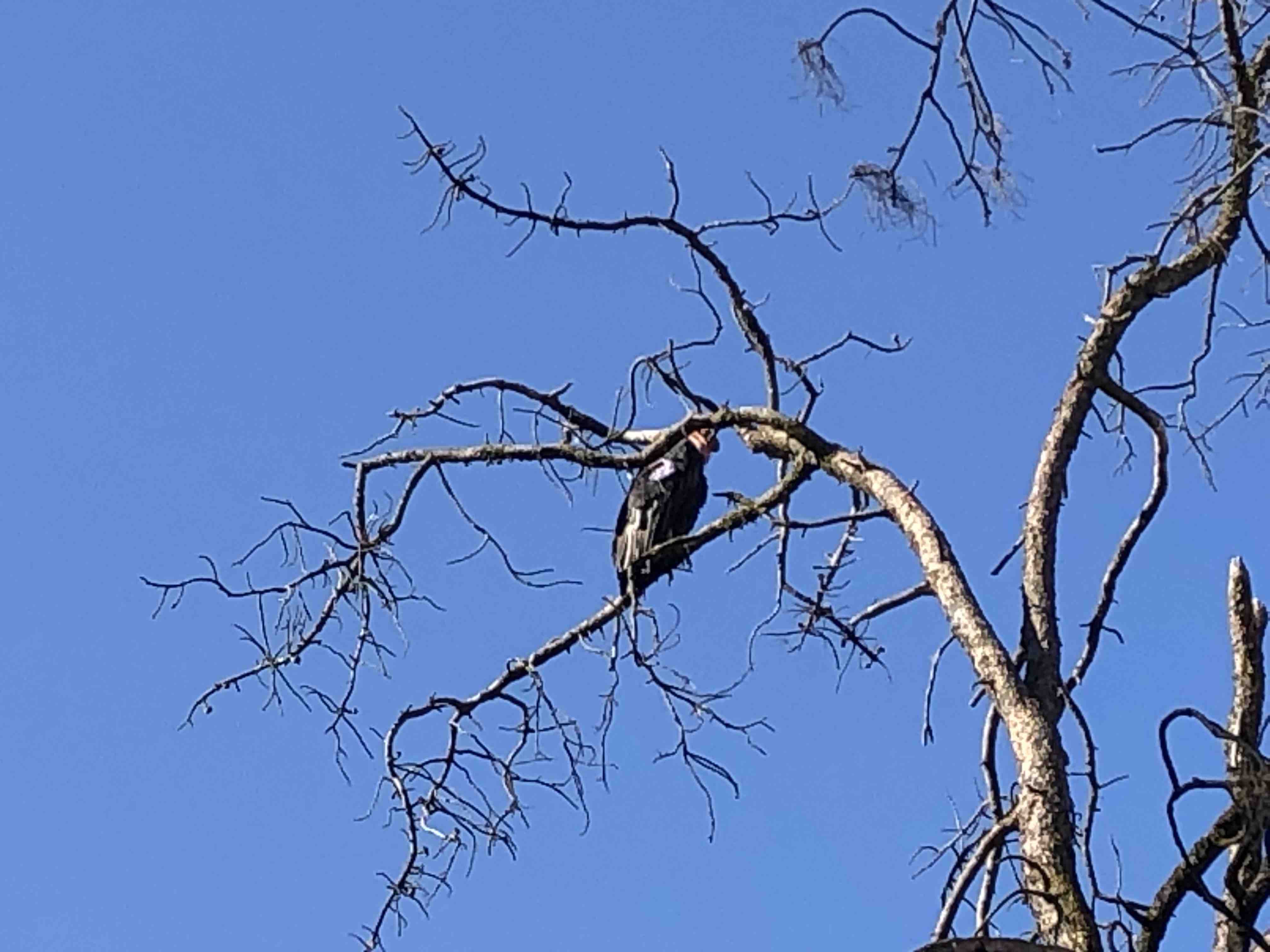
The next morning, I felt a bit better but not great. We let the kids sleep in and made a big breakfast, a feast of pancakes, bacon and eggs. We decided to take it easy, complete part of the Rim Trail along the Canyon and hit the Visitor’s Center. The Grand Canyon is unlike any other canyon due to its sheer size; it is 277 miles long, 18 miles wide and more than one mile deep. Despite that this was my third trip to the canyon, it still made my jaw drop and my head spin. The backdrop simply looks fake. We even saw a California Condor soaring over the canyon. After walking the Rim Trail for a bit, we headed back to the camper for lunch and I took a nap in the hammock. Late that afternoon, we went to several lookout points using the truck instead of our legs and watched as another storm rolled in and provided us with a lightening show. Before leaving the canyon rim, we found Phantom Ranch using the binoculars and I decided then that I will continue to try and get the opportunity to hike down into the canyon and stay there.