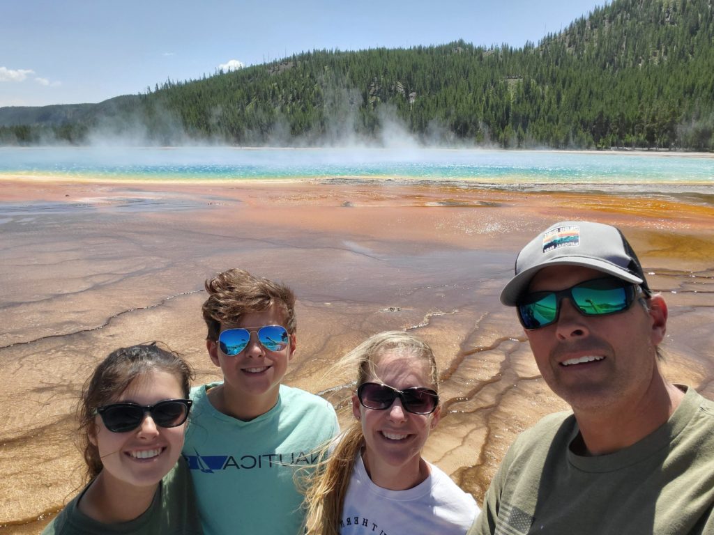
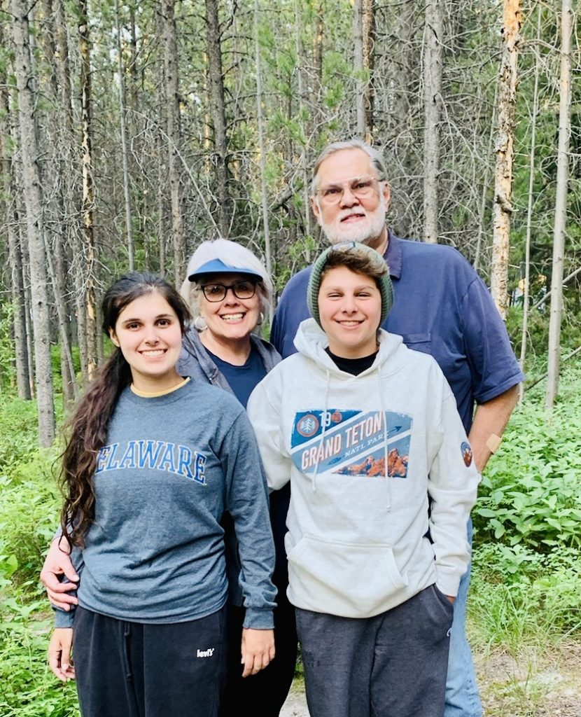
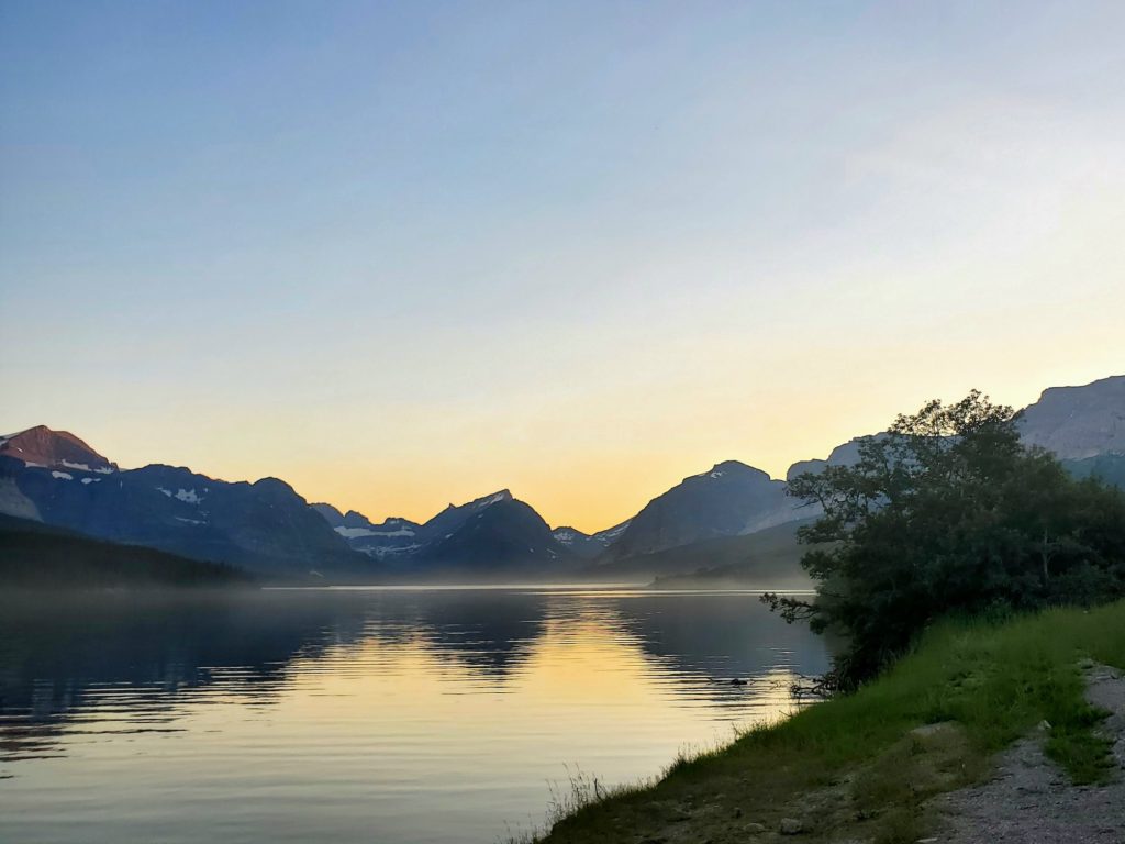
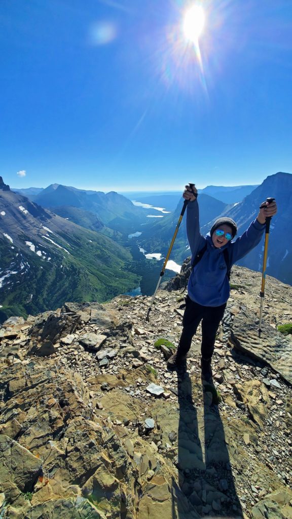
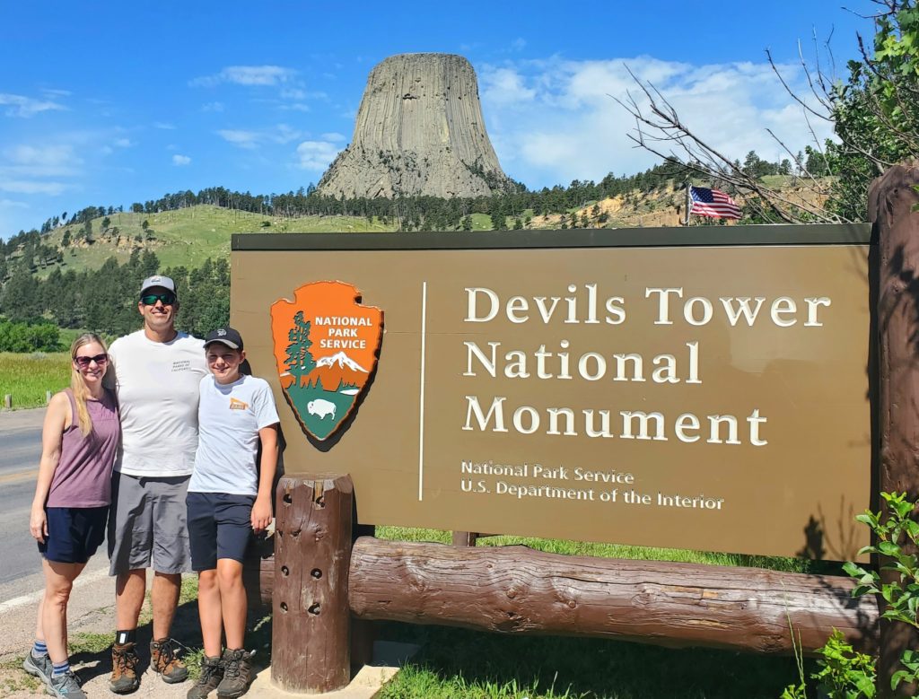
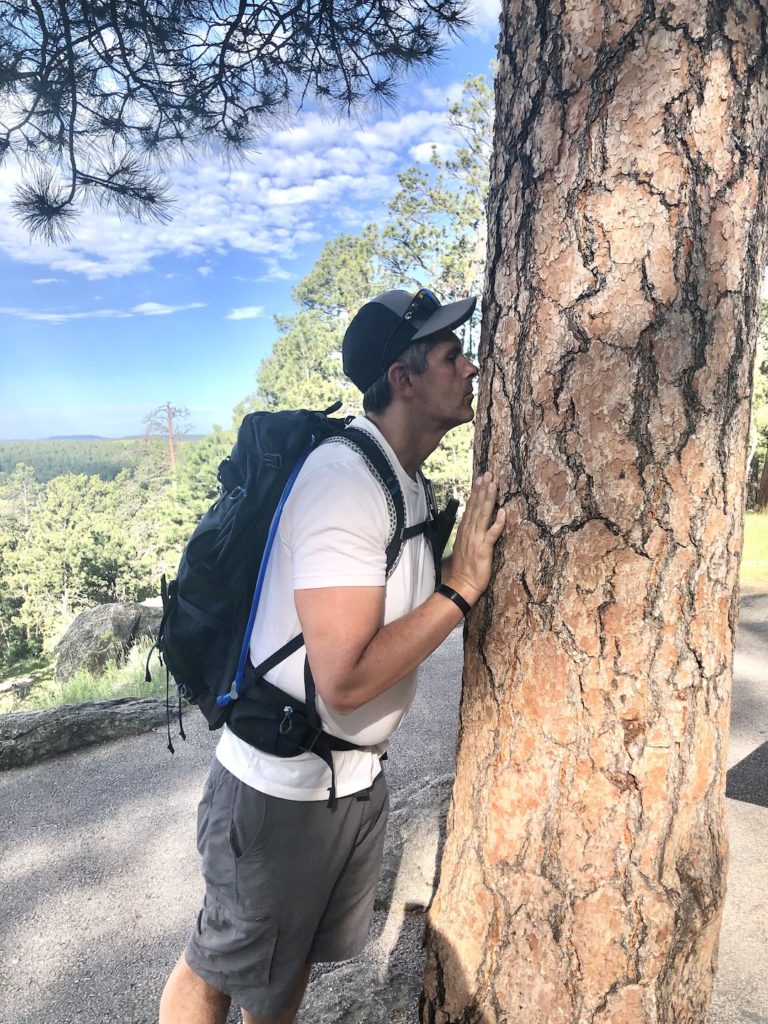
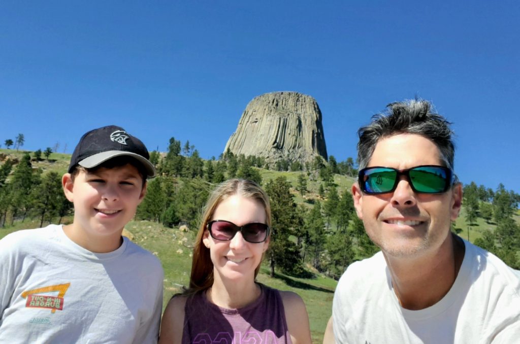
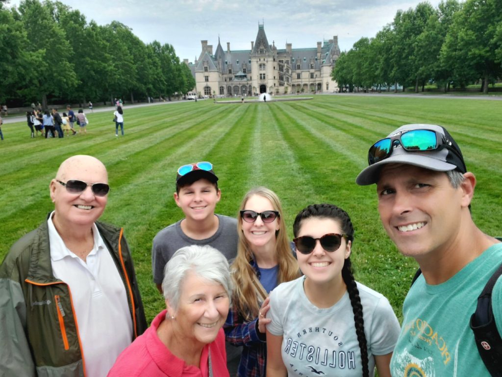
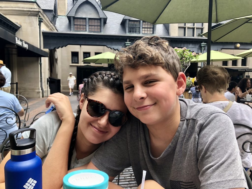
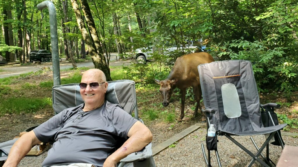
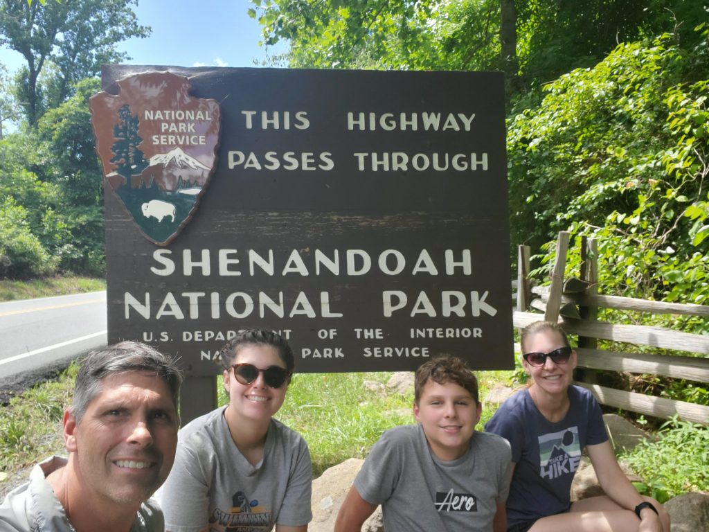
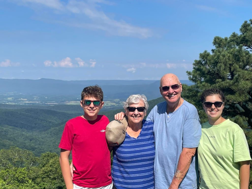
We were sad to leave Bill and Donna’s but excited to see Giga, Opa, Auntie Kat and Uncle Steve at our next stop, Grand Tetons National Park. We drove south and made a quick stop in Yellowstone National Park. Our last visit to Yellowstone was on our first cross country trip in 2016. Eli was only 6 and while we were at the very crowded Grand Prismatic Spring, someone bumped into him, and he almost fell off the boardwalk! I ended up holding his hand for the rest of the walk. This time, I didn’t need to hold Eli’s hand (since he is now bigger than I am), and it wasn’t as crowded but it was very windy.
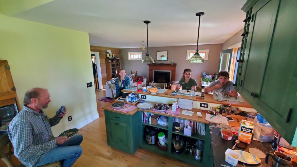
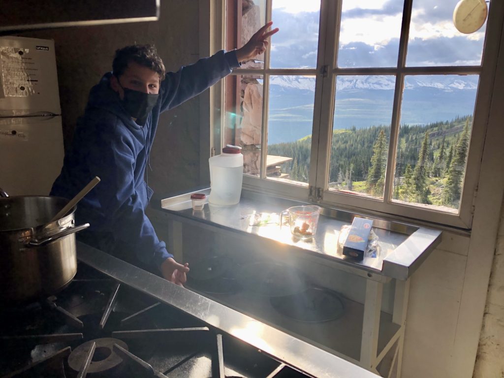
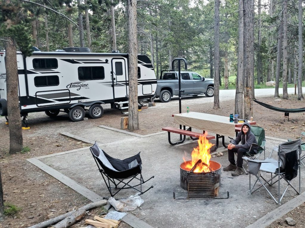
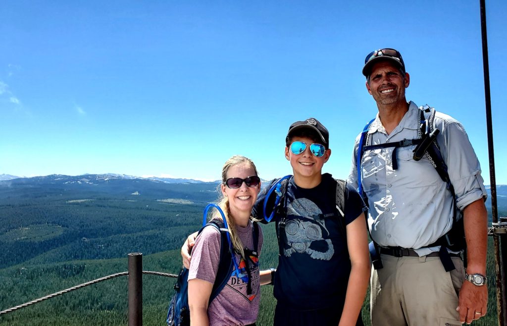
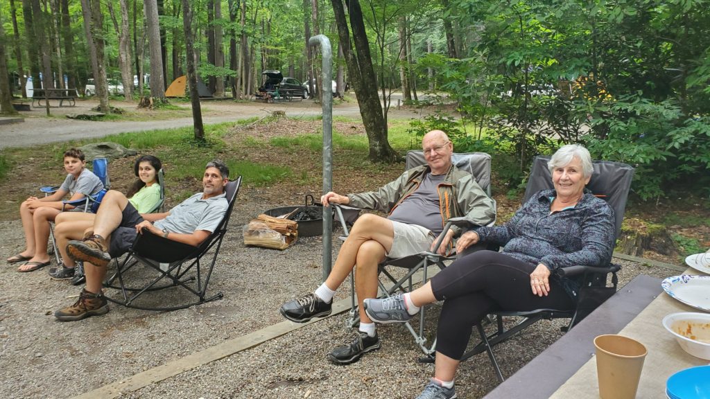
We arrived at the Signal Mountain Campground on Jackson Lake just before dinner. The campsite was small and quite complicated to get into but, Matt did his magic, and before I knew it, we were in. Kathleen and Steve were already set up in their campsite and after eating camp spaghetti for dinner we sat around the campfire mapping out our day hikes and catching up.
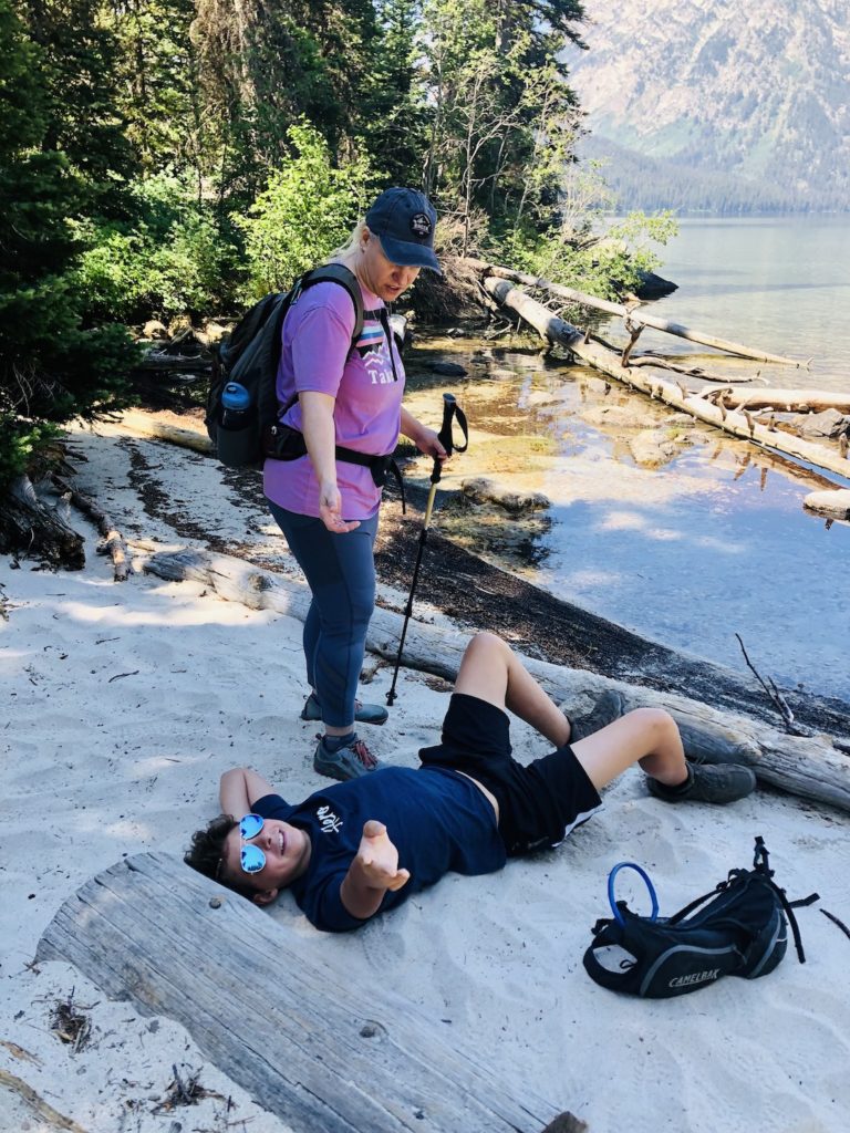
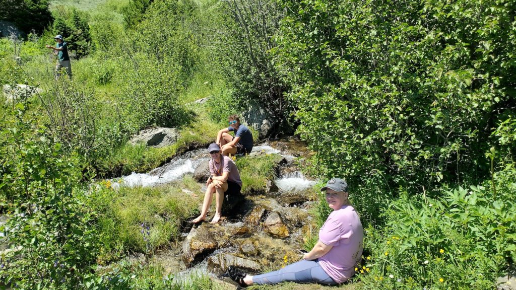
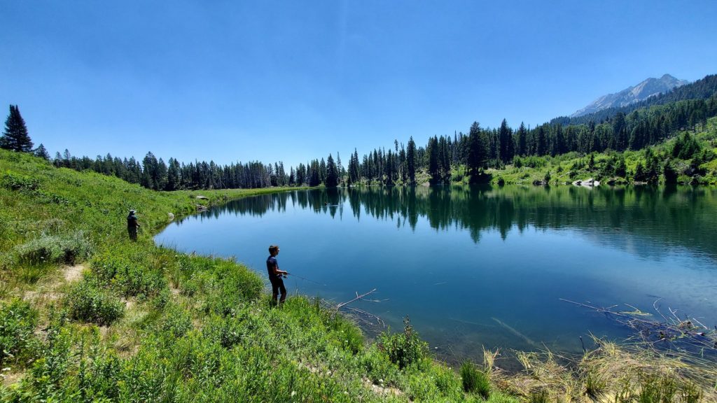
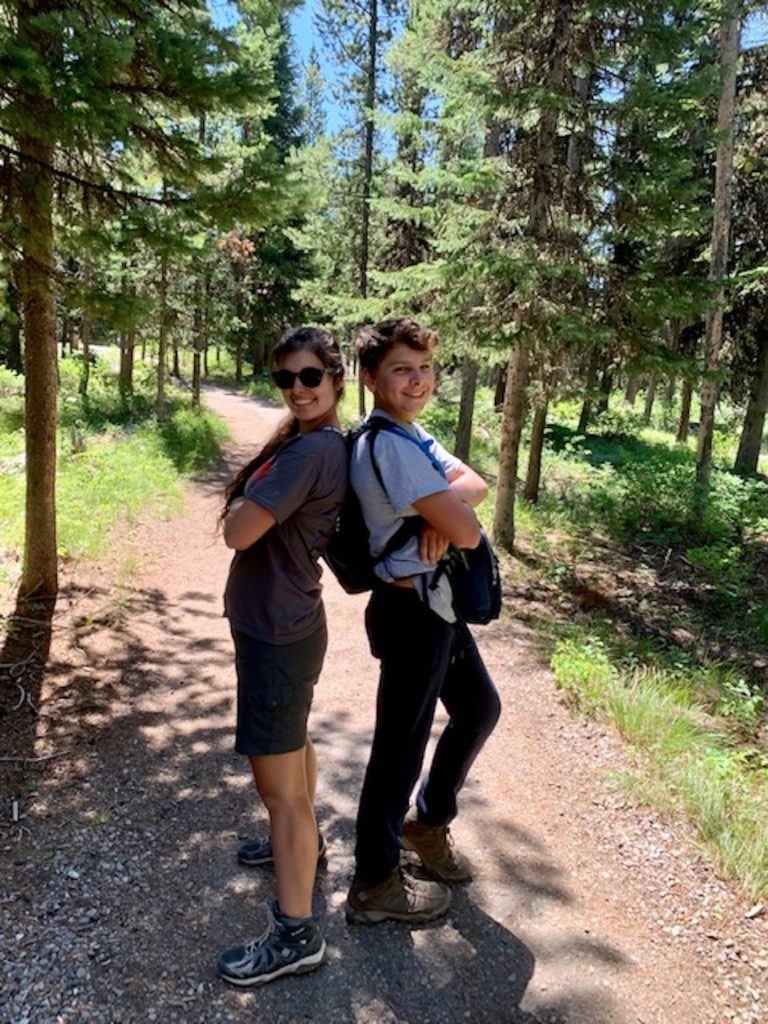
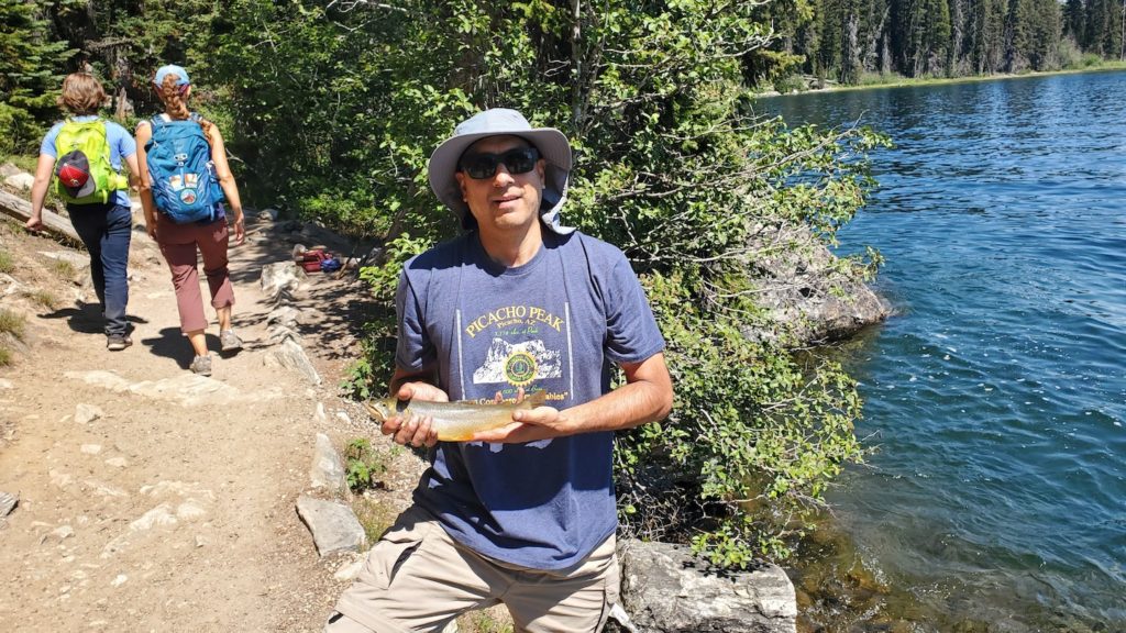
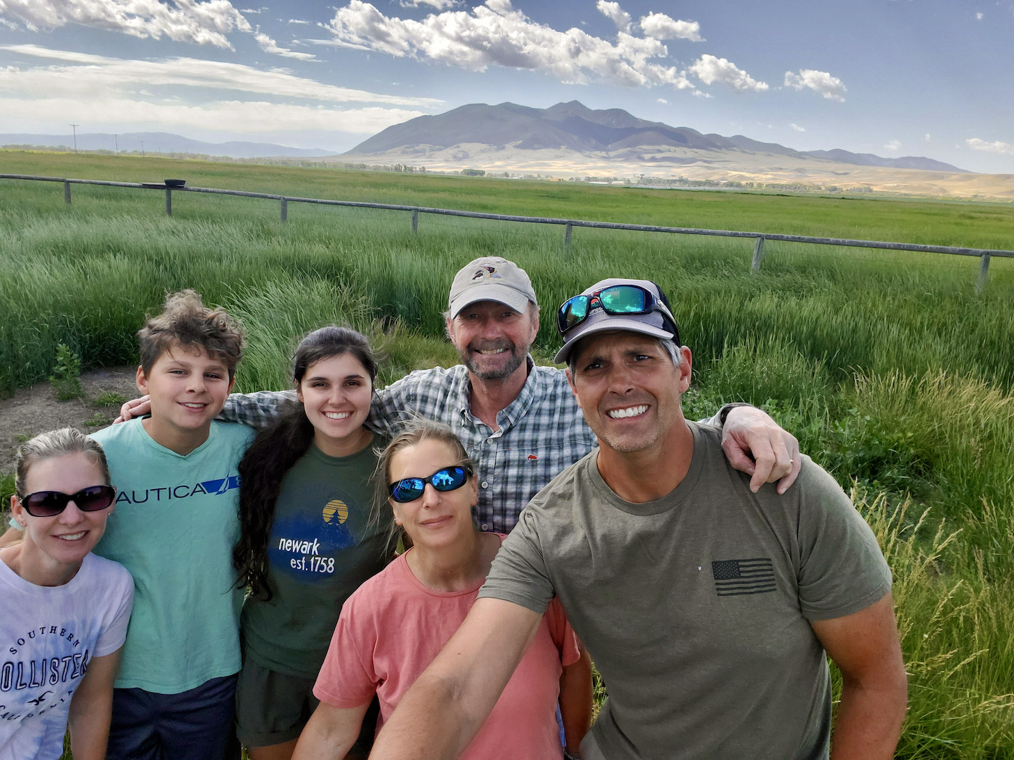
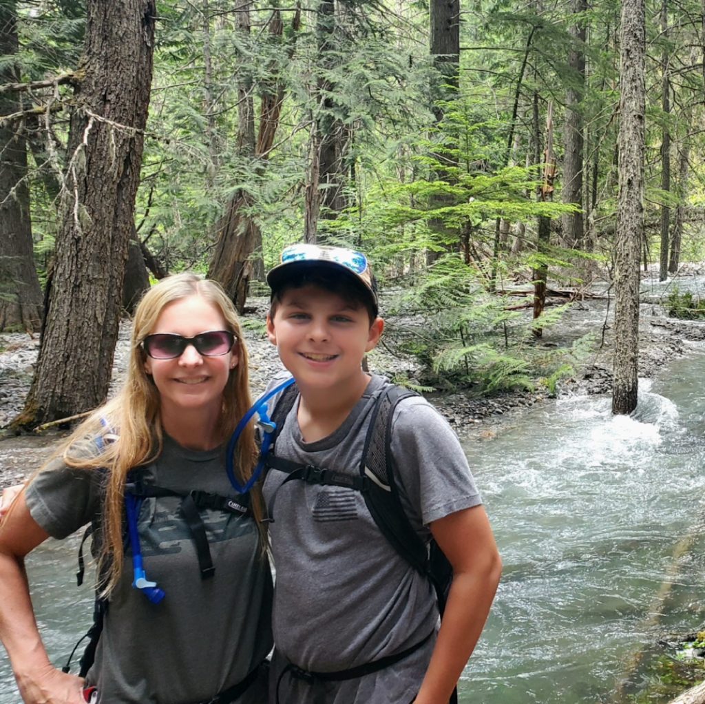
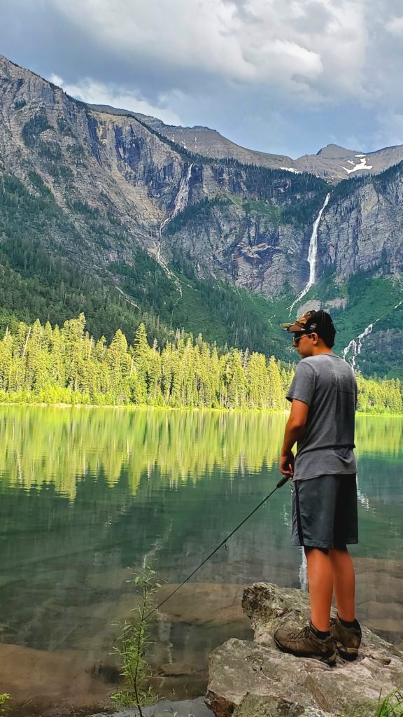
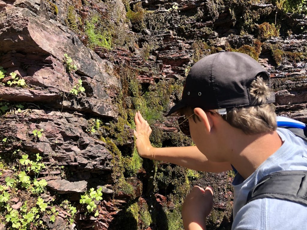
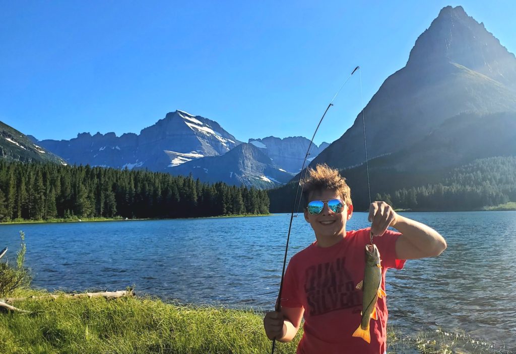
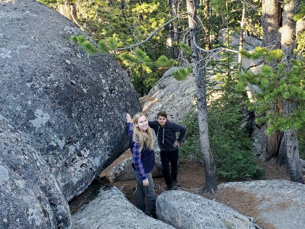
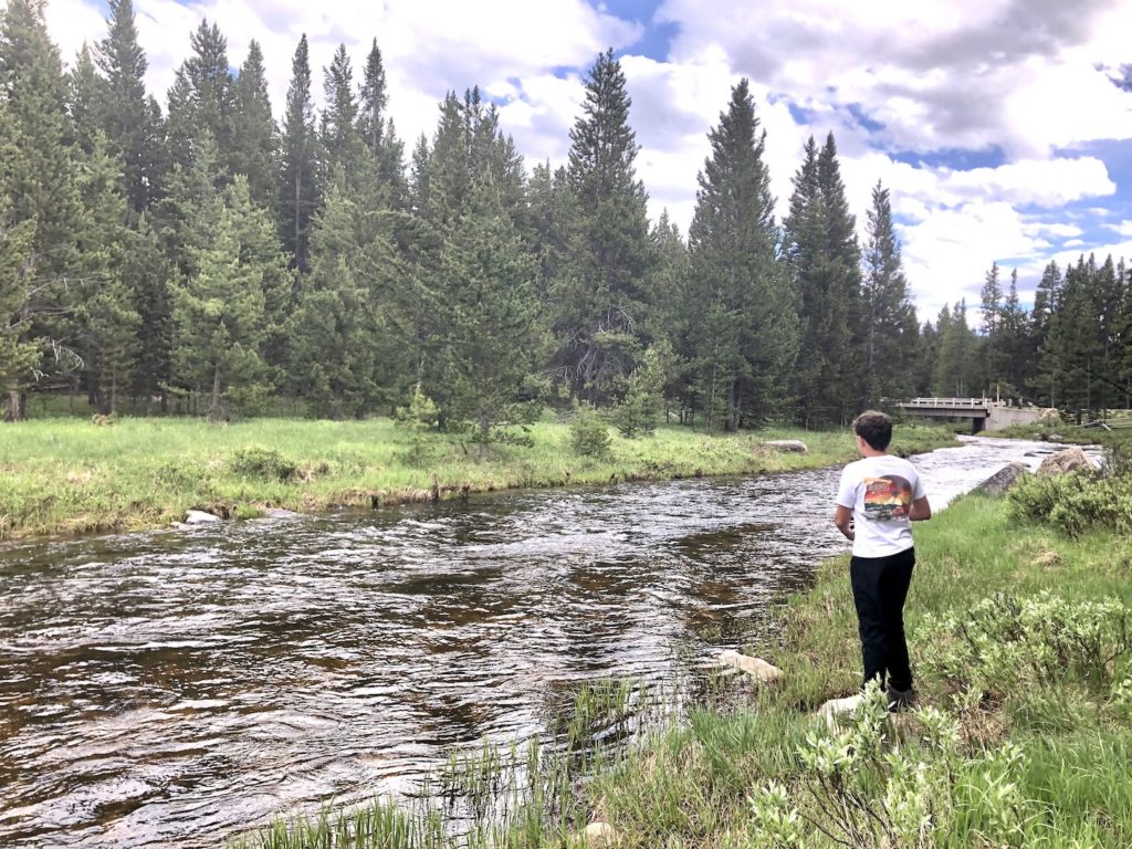
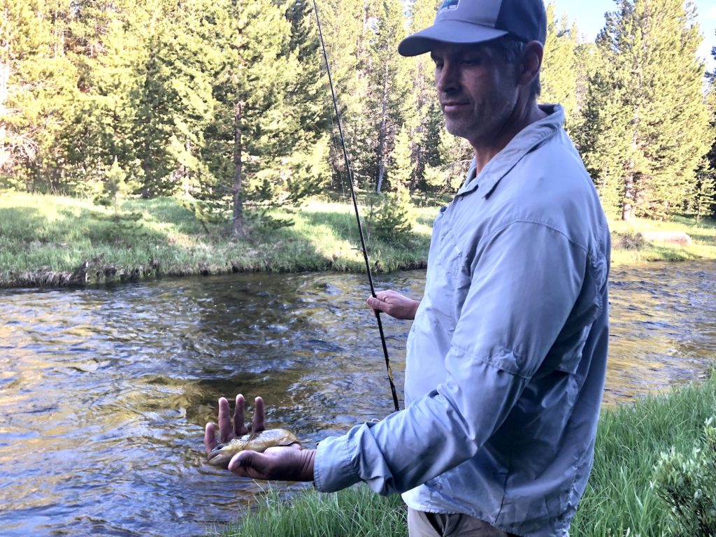
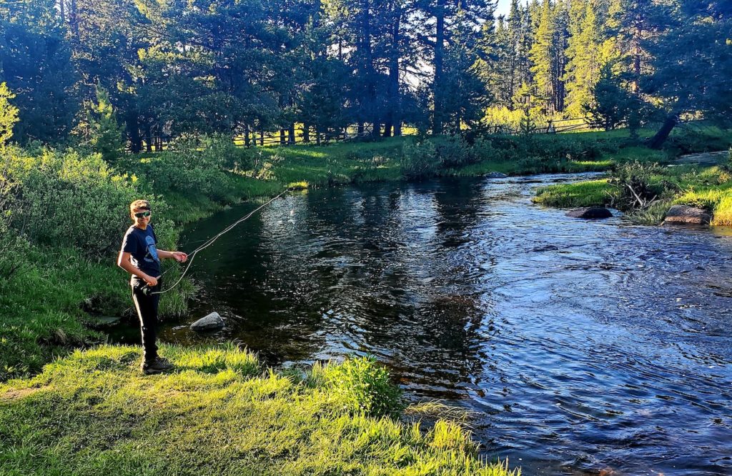
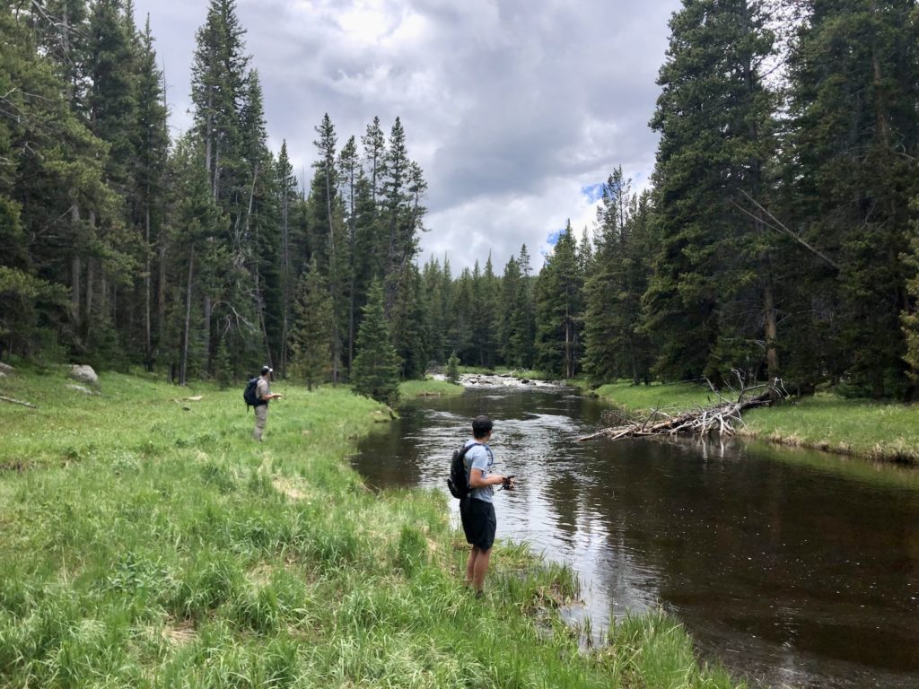
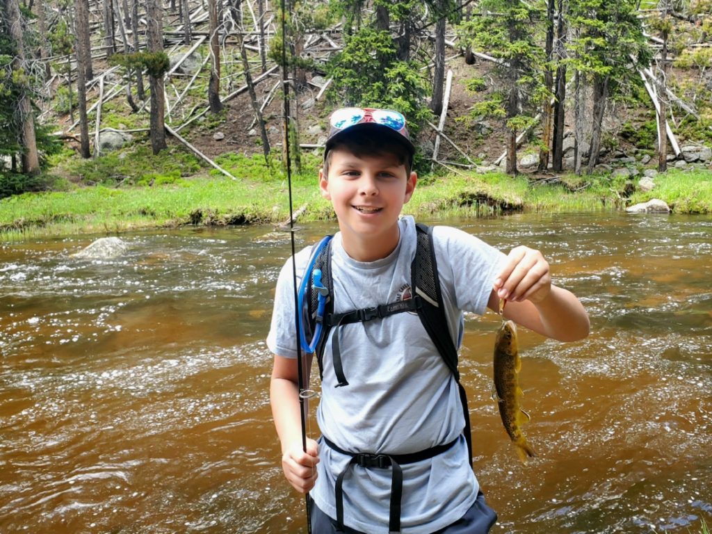
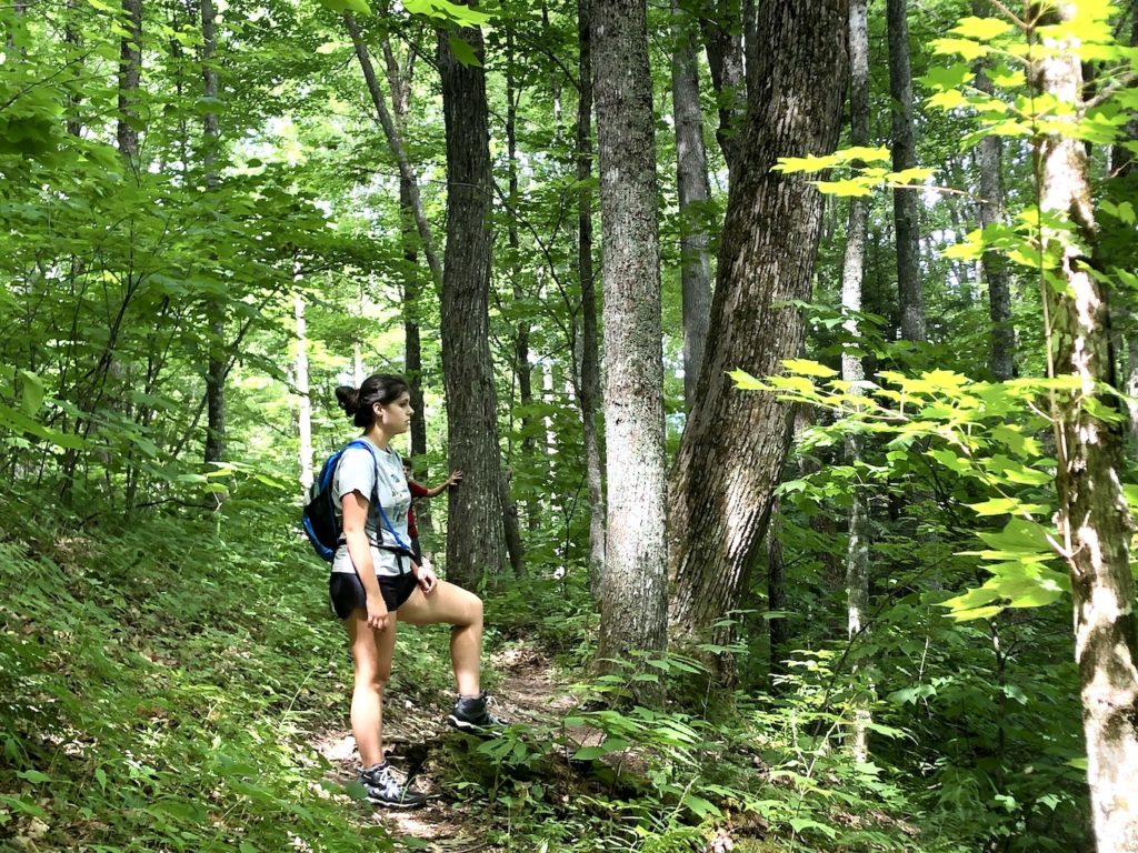
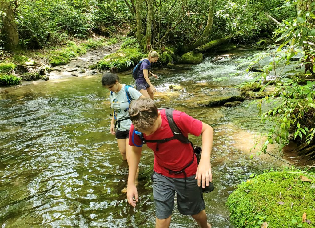
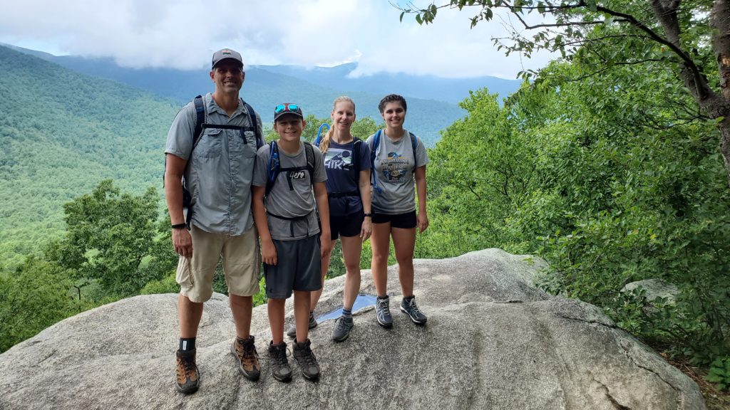
The next morning Kathleen, Steve and our family drove to the String Lake Trailhead. We hiked next to String Lake, and then Leigh Lake followed by Bearpaw Lake and Trapper Lake. Once at Trapper Lake we ate lunch, soak our feet in the stream that was feeding the lake and the boys all caught fish! On the way back, we found a beautiful sandy cove along Leigh Lake to swim in. All the lakes were beautiful, and it was a wonderful to spend time together. When we got back to the campsite, we connected with Matt’s parents who were staying in a nearby cabin. That night we had campfire surrounded by family…what a blessing!
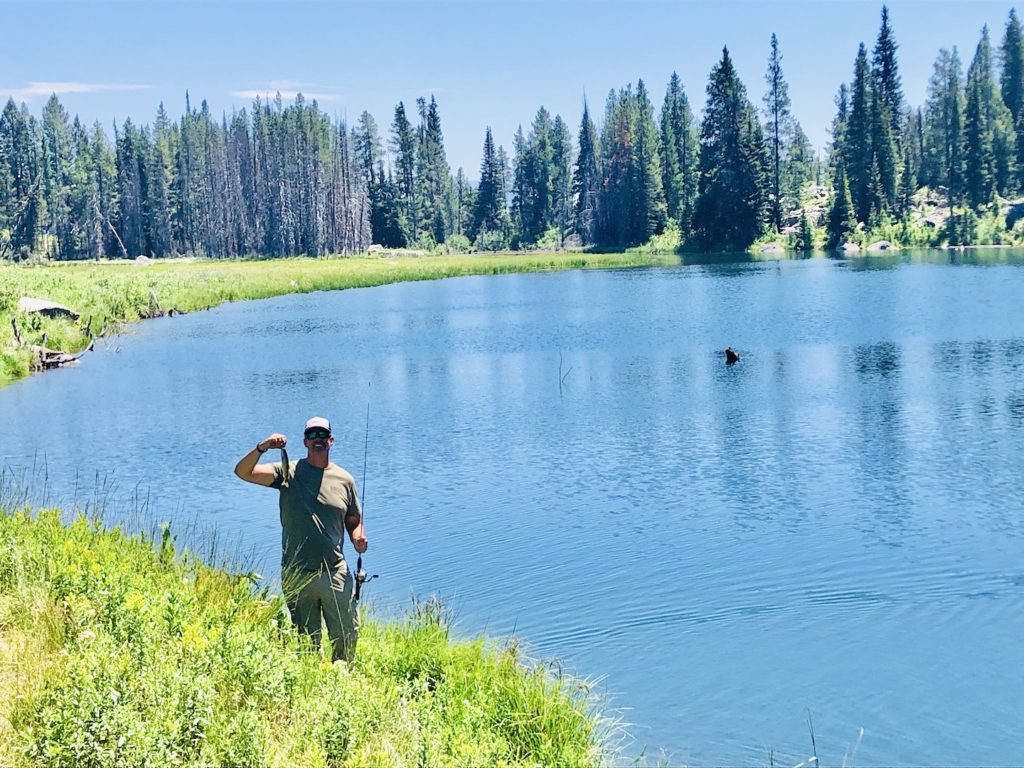
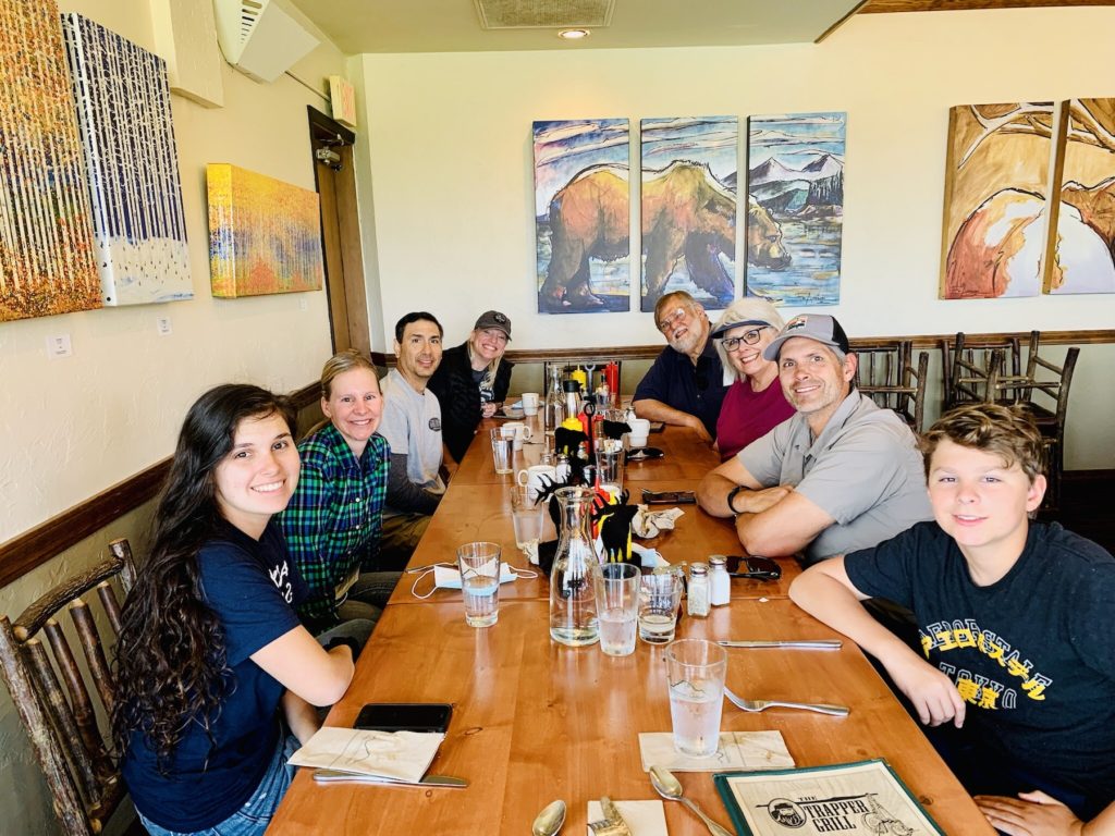
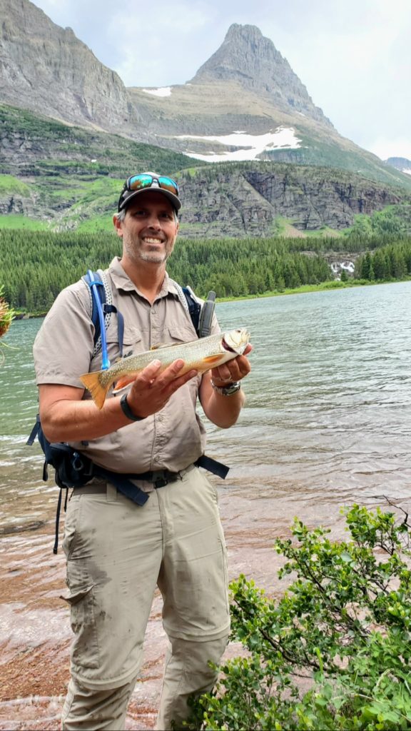
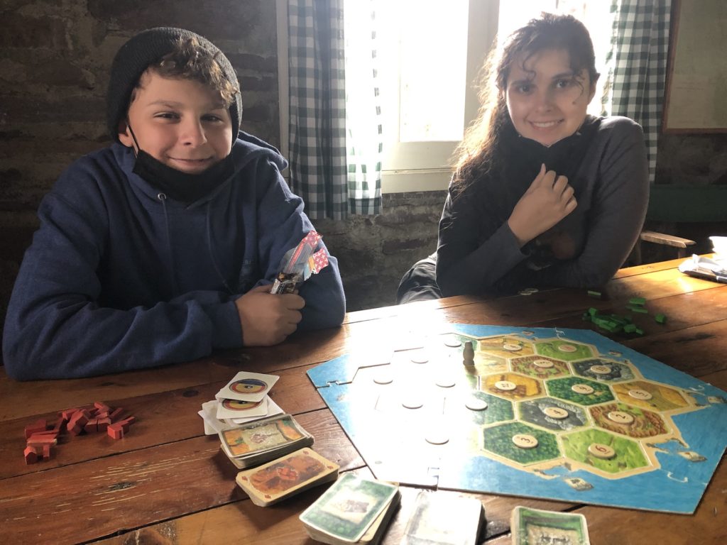
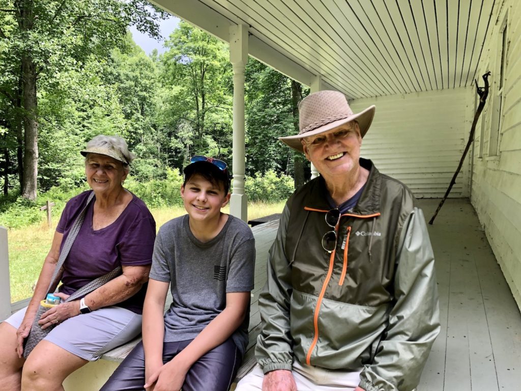
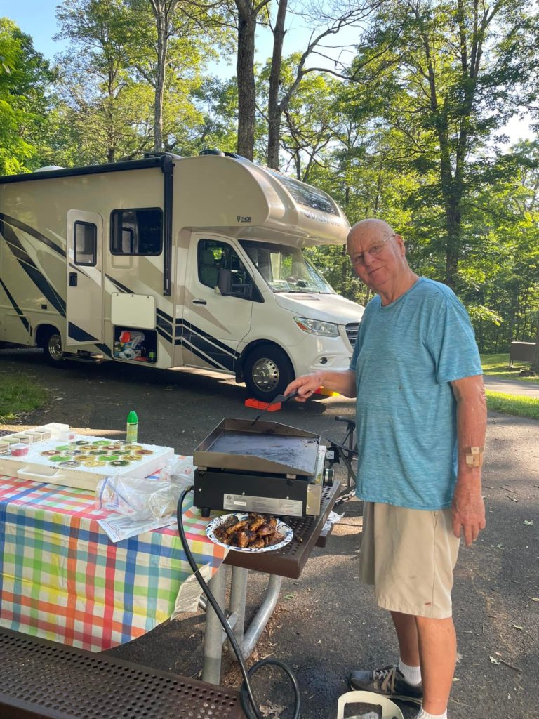
The following day Matt and Steve went fishing at Jenny Lake for most of the day. They did well catching large cruiser cut throats on flies. The Grandparents took Samantha and Eli to Coulter Bay to hike and explore. Then, they treated the kids to a nice lunch and dessert at the Signal Mountain Lodge followed by souvenirs from the gift shop. That night Uncle Steve made ribs for dinner with all the fixings, and we tried banana boat smores!
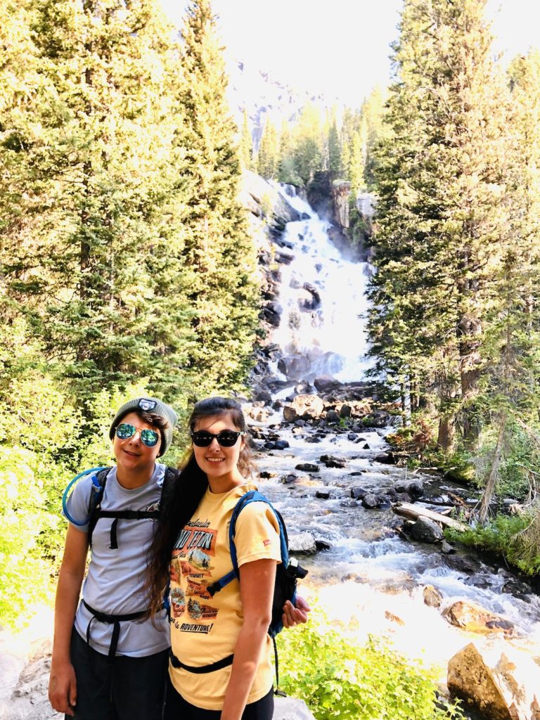
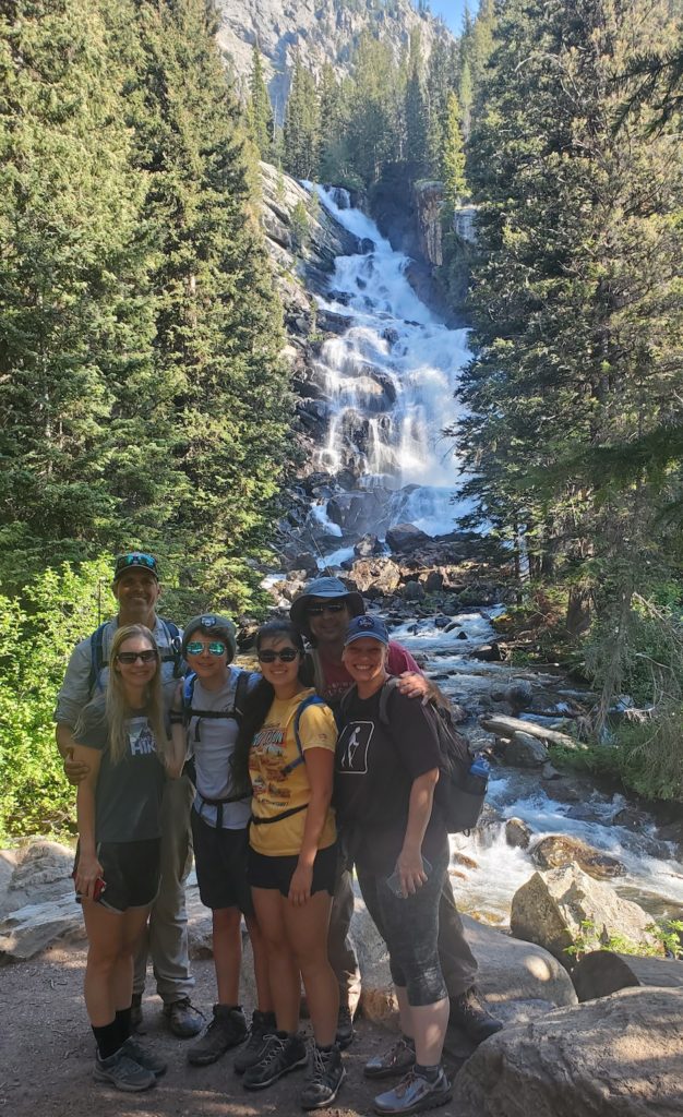
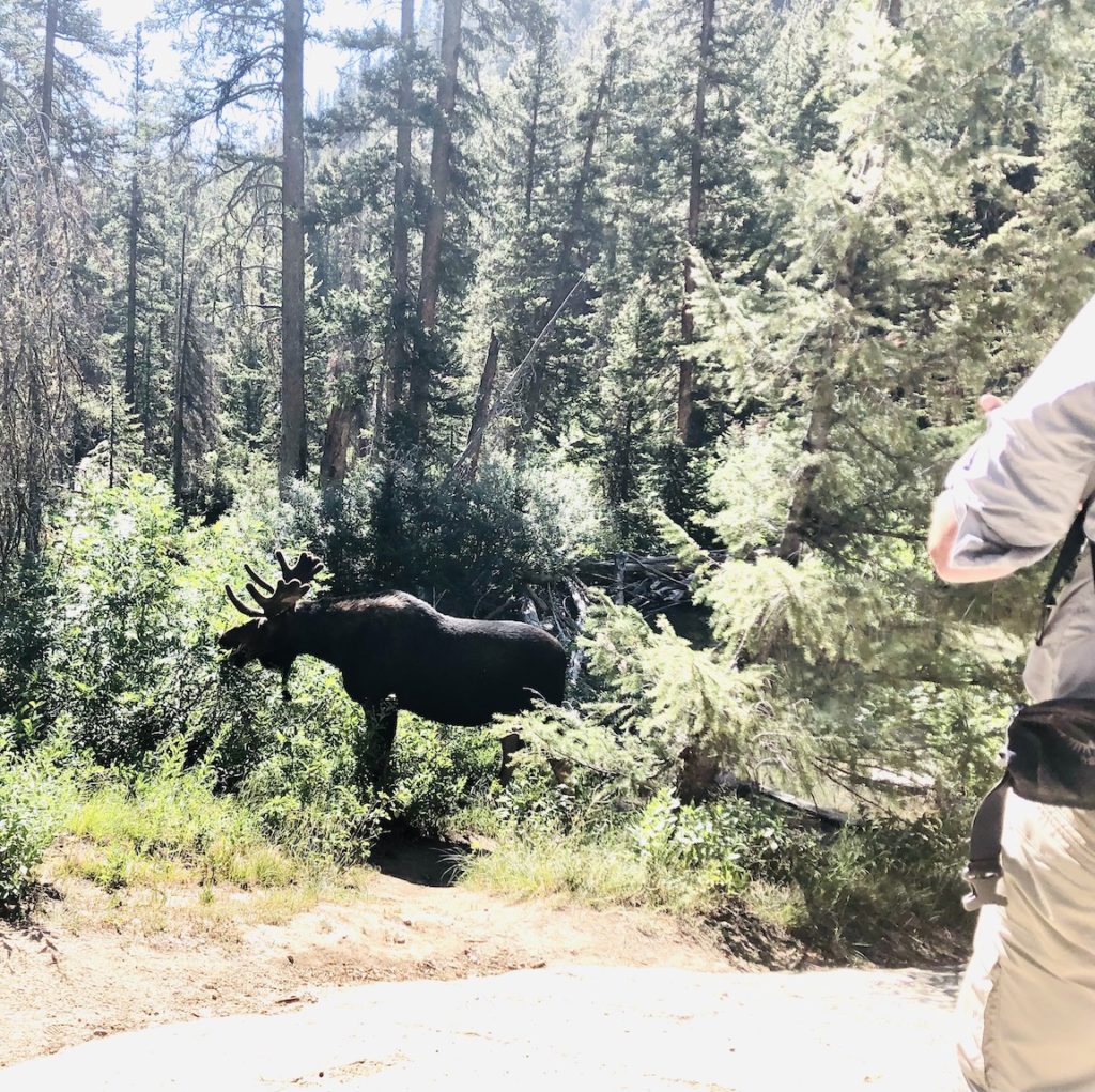
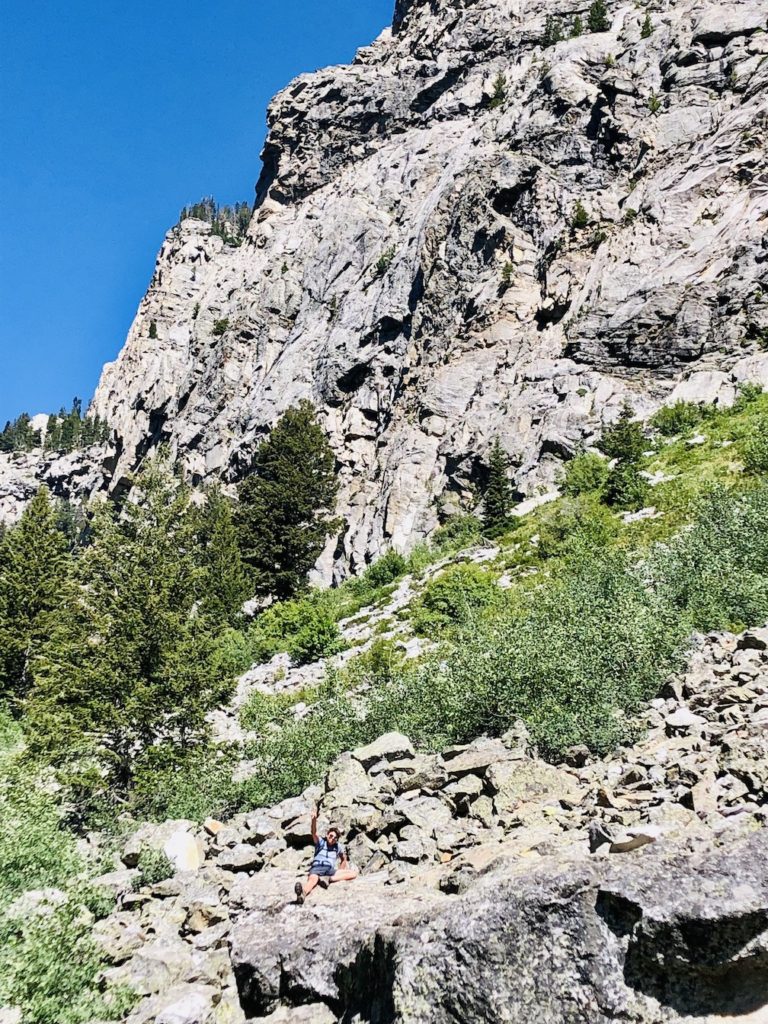
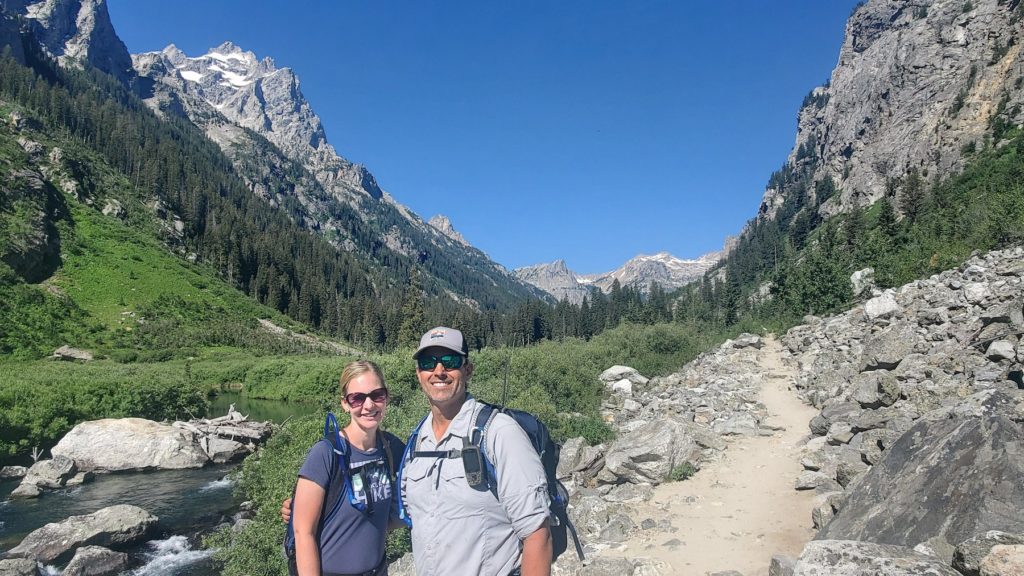
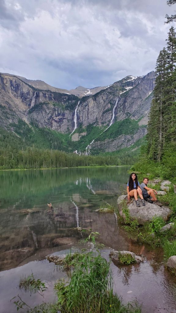
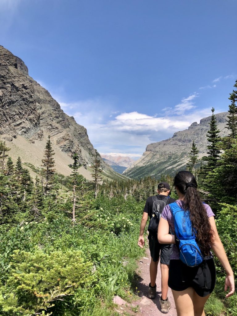
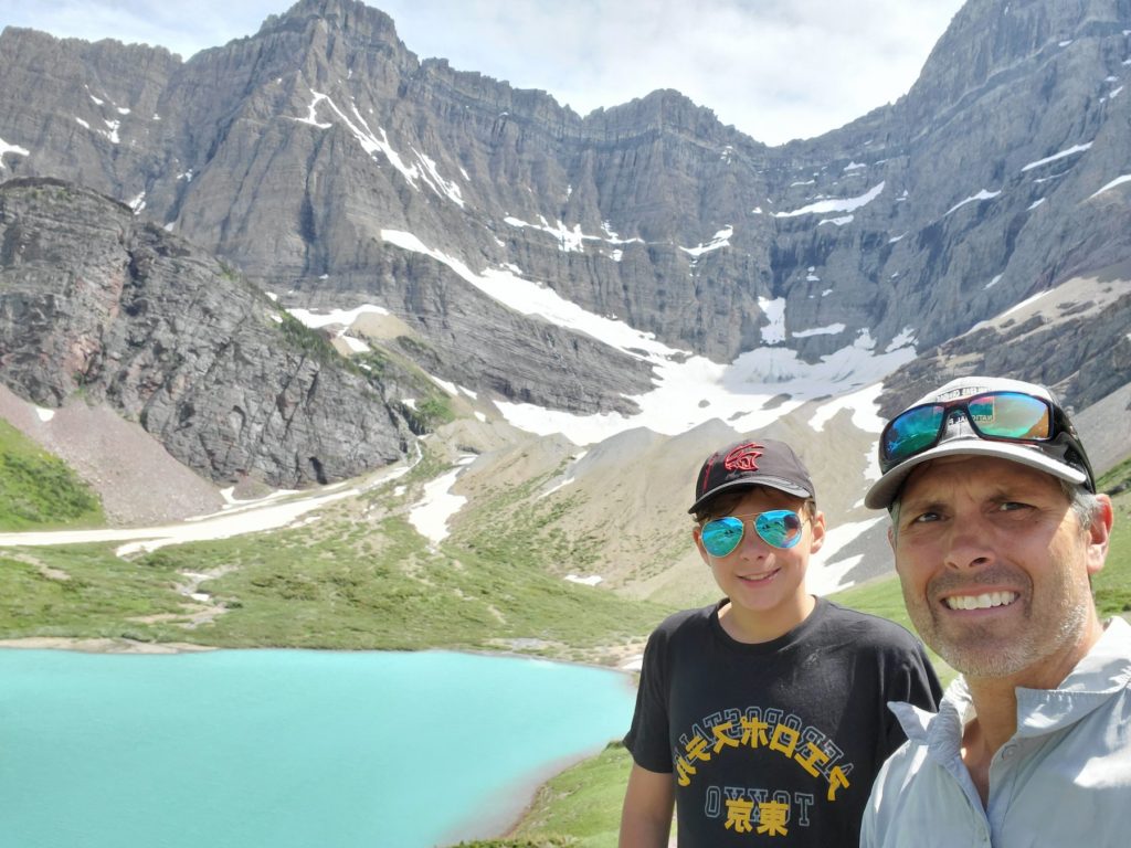
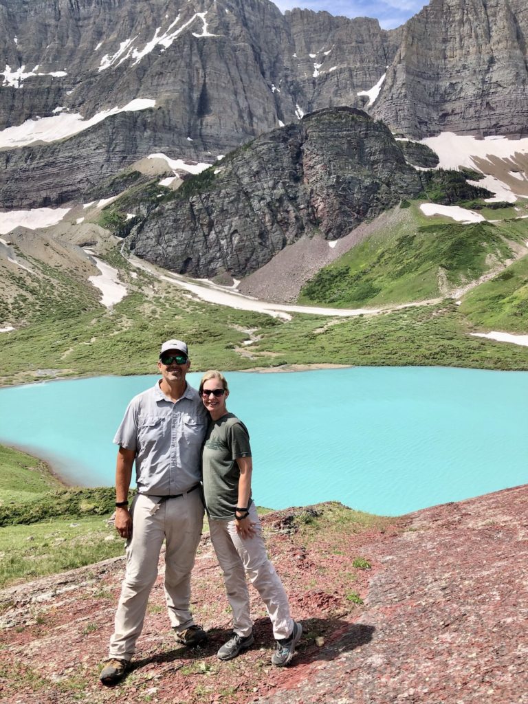
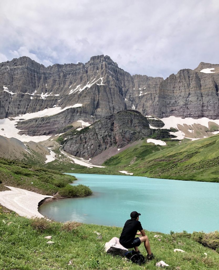
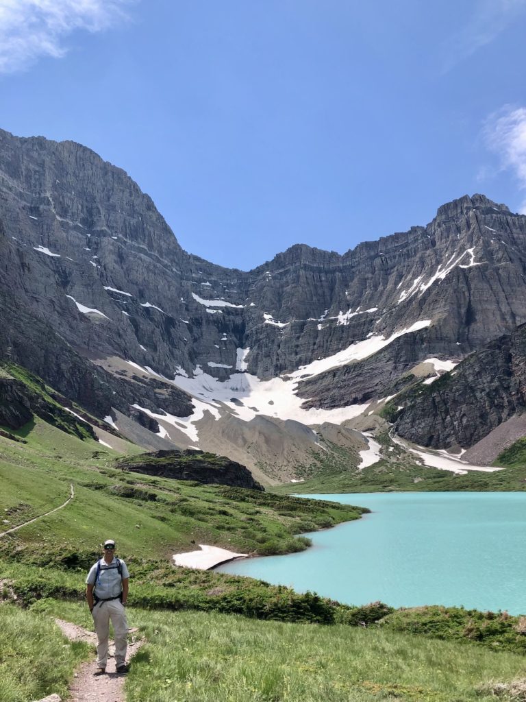
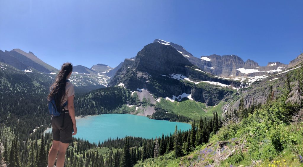
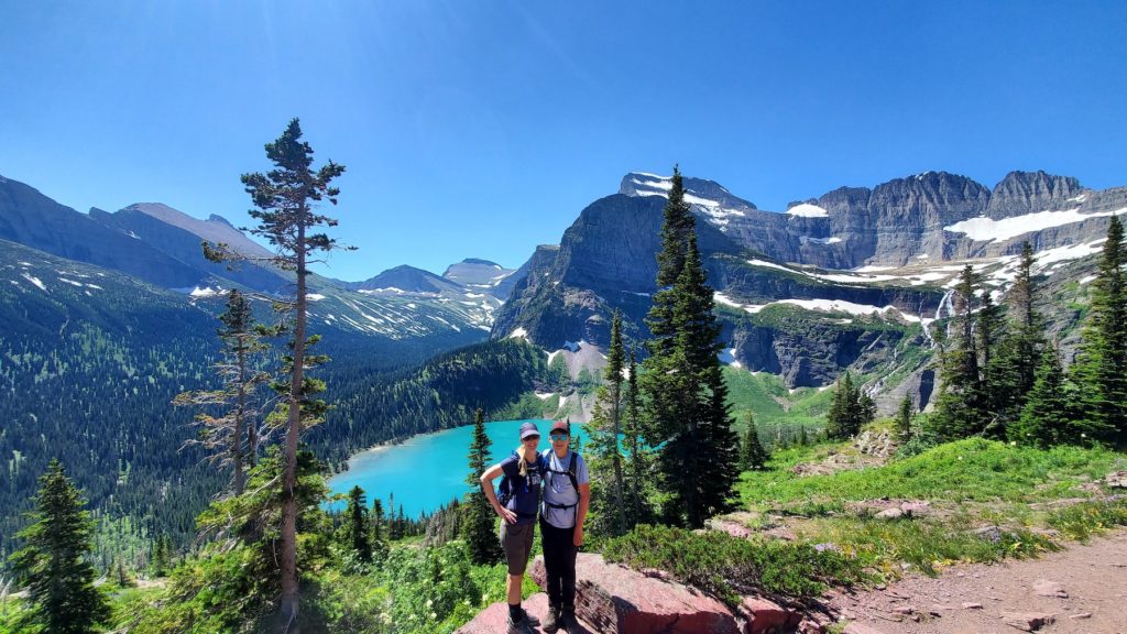
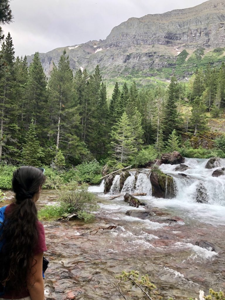
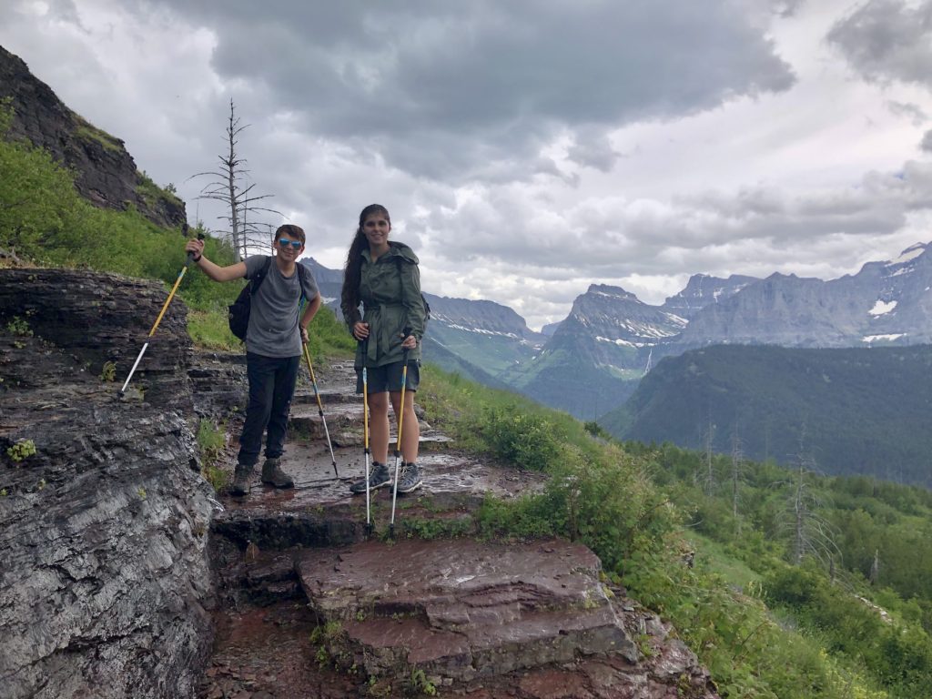
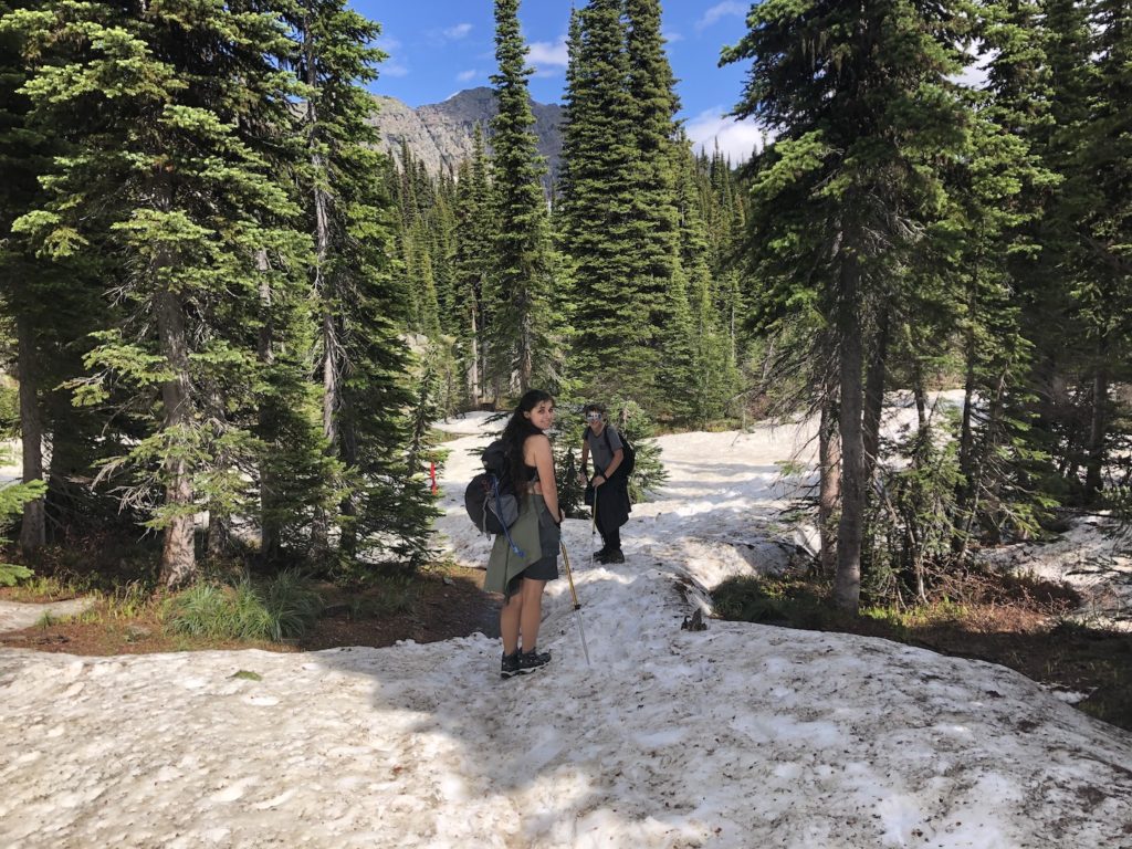
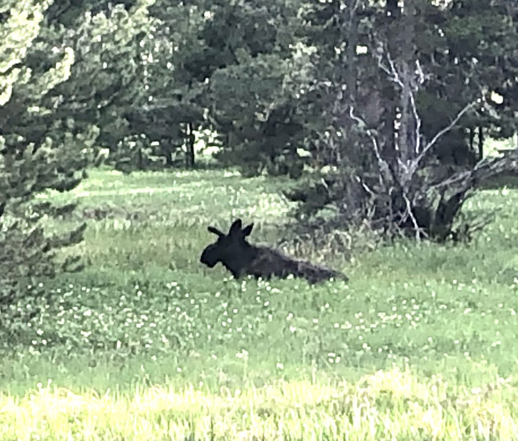
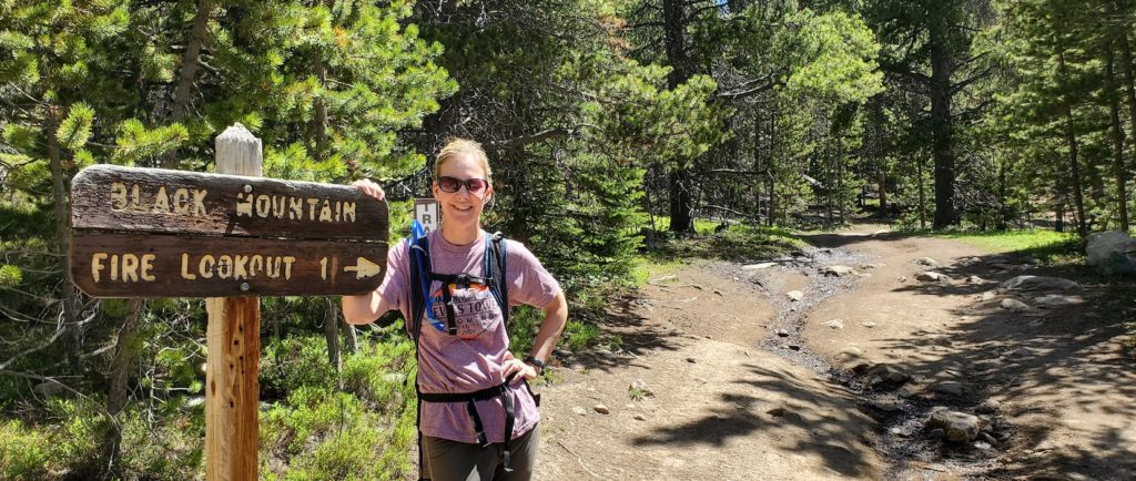
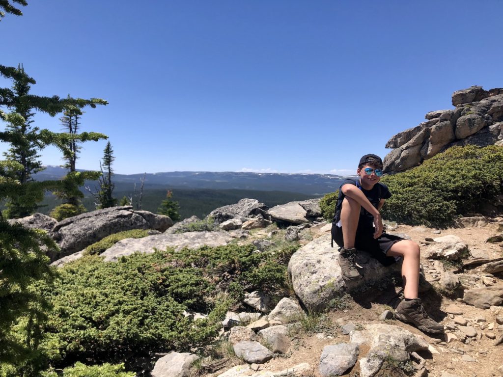
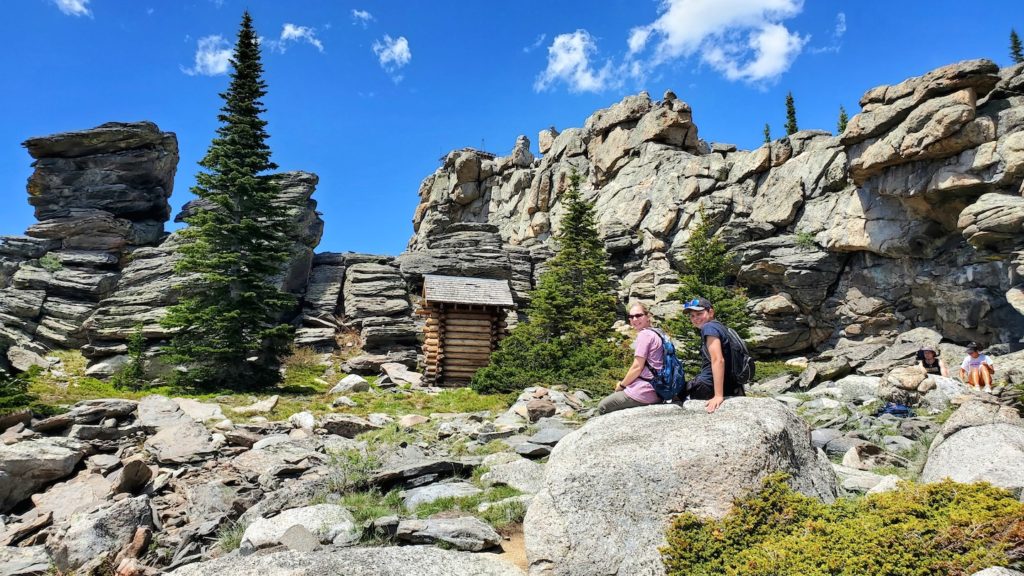
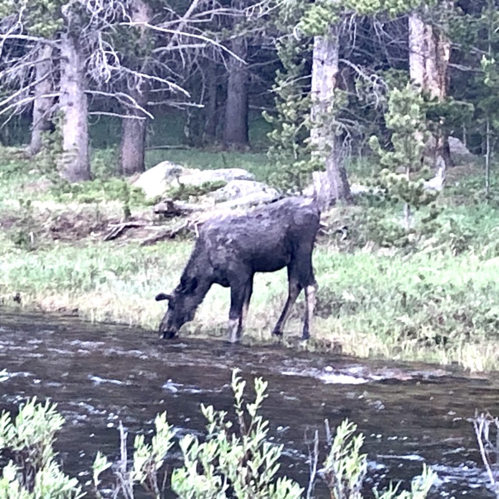
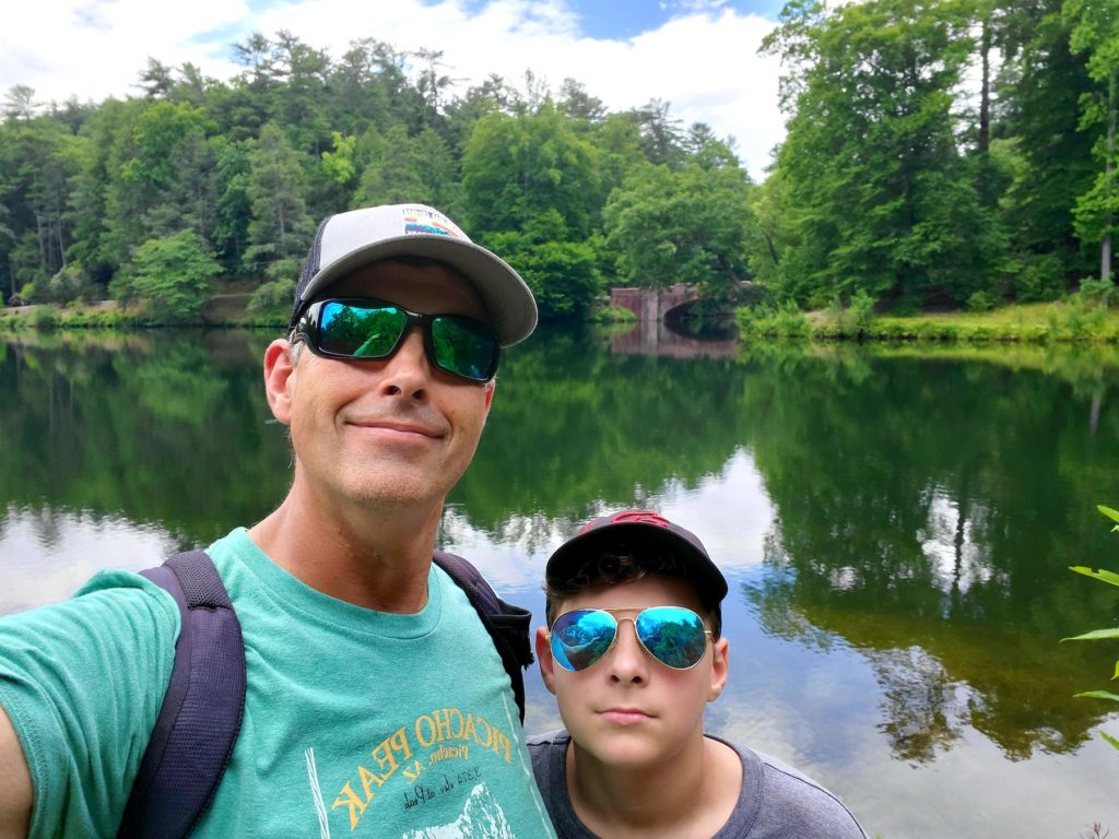
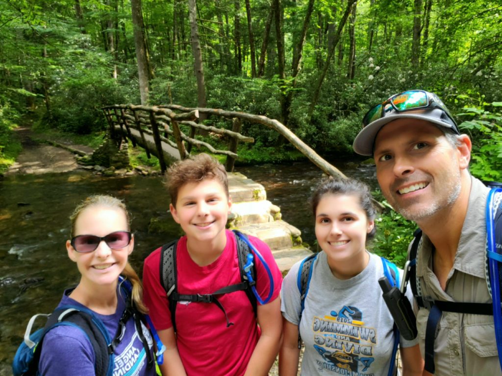
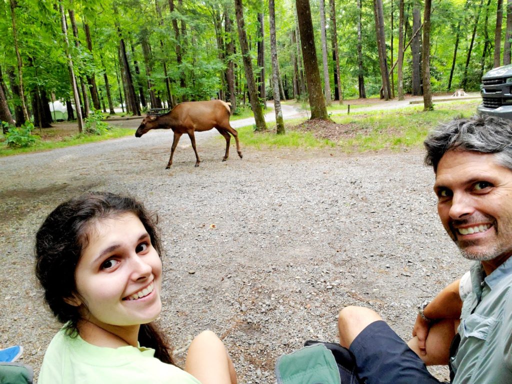
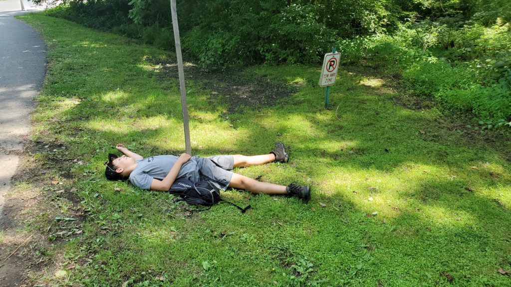
Early the next morning, Steve, Kathleen, and our family took the boat across Jenny Lake. From there, we hiked to Hidden Falls, Inspiration Point and then through Cascade Canyon. Along the trail, we were surprised by two large bull moose. We stayed out of their way but watched them as they ate and made their way along the trail. I am pretty sure this is the closest we have ever been to moose. All in all, it was a long 7-mile hike, but it was beautiful, and the weather was perfect. Matt and Steve stayed to fish along Jenny Lake while the rest of us took the boat back and went to the Visitor Center.
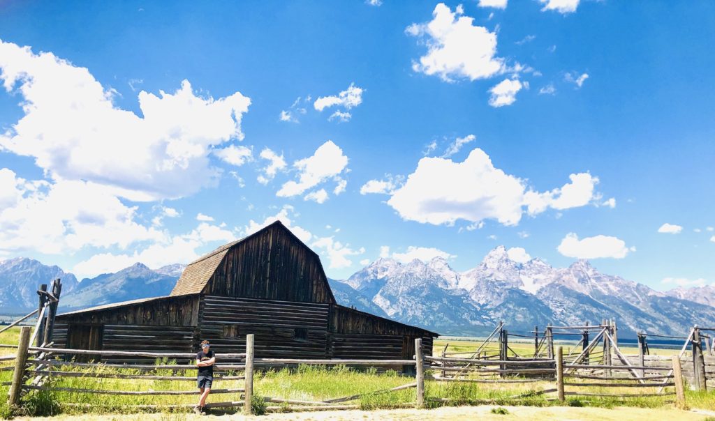
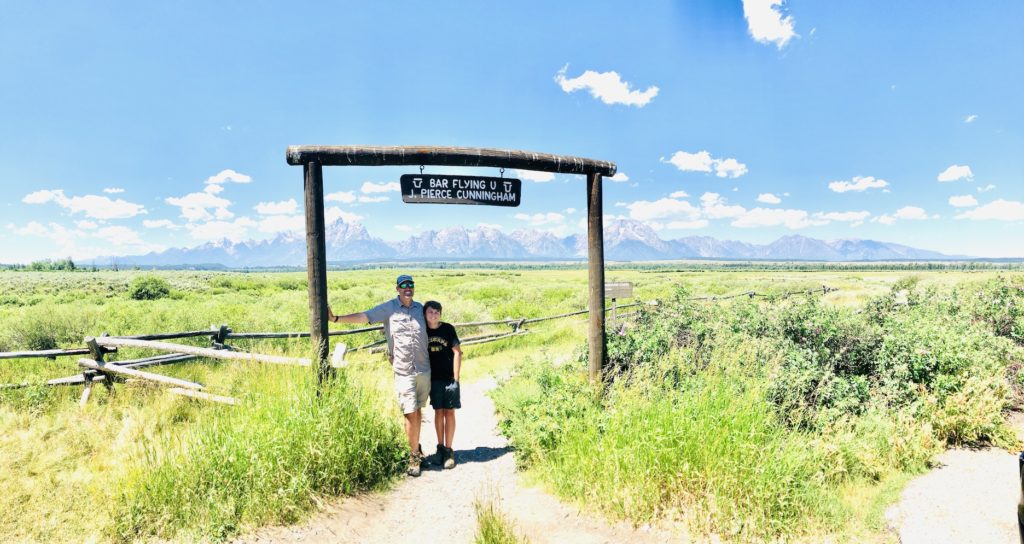
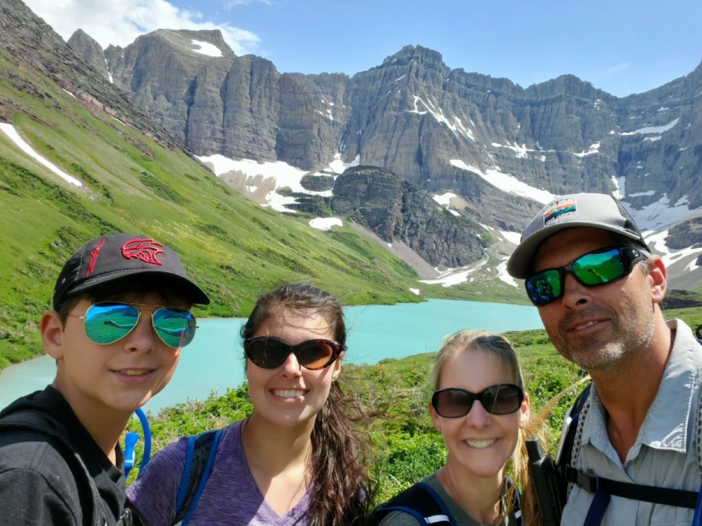
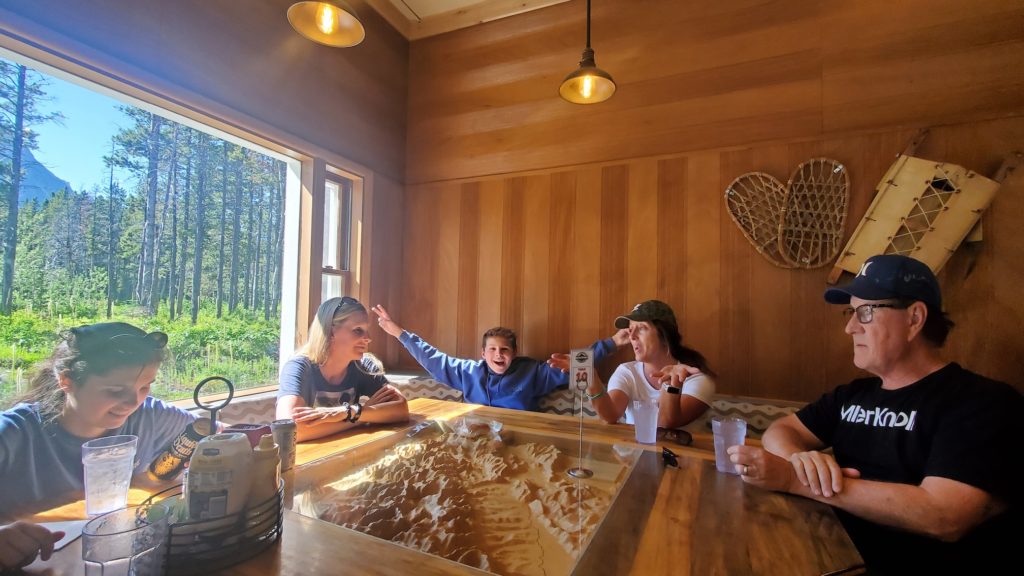
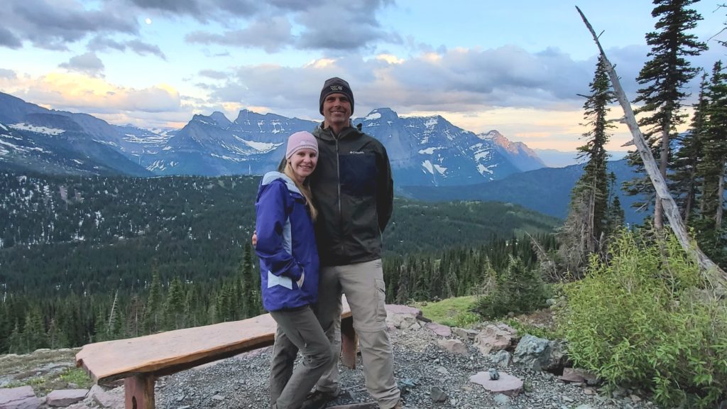
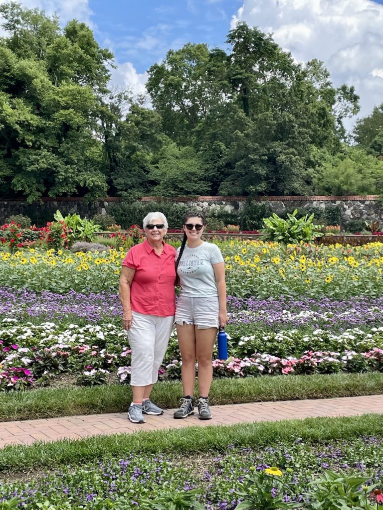
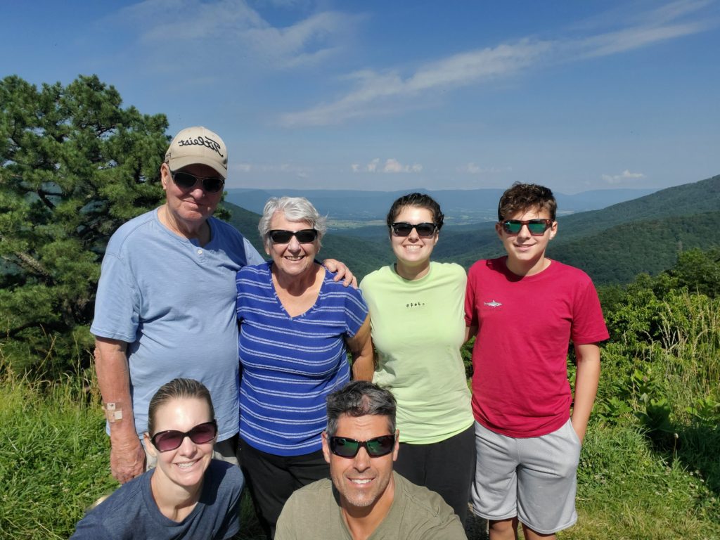
On our last morning at Grand Tetons, we all met at the Signal Mountain Lodge where Giga and Opa treated us to a huge breakfast. It was wonderful to enjoy coffee and food while looking out the window at an amazing view of the Grand Tetons. Steve, Kathleen, Matt, Eli and I took a drive towards the Moran entrance to the park where we visited the Cunningham Cabin Historic Site, John Moulton Barn and Mormon Row. We explored a little of the area and then headed back to String Lake for a swim. As people paddled by us in their kayaks and on their paddleboards, we guessed what state they were from. The water was cool, and the view was spectacular. Unfortunately, that night we had to say our goodbyes which is always difficult. We will see Kathleen and Steve again when we stop by their house on our way home, but it will be a while until we see Opa and Giga again. This stop was definitely extra special since we had the opportunity to spend time with family. We were SO GLAD they joined us on our 2022 trip!