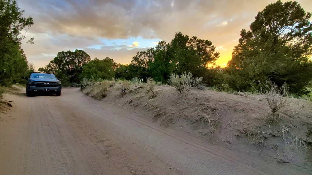
Bolsa Chica State Beach, California: Surfing, Family and Friends

Blog Post by guest blogger: Kristin Cramer

When I got the call from my sister telling me she would be staying at Bolsa Chica Beach State Campground for a week and asked if my family would like the extra site, I jumped at the chance.  Not because Bolsa Chica is anything special, it’s only a few miles from our home; but because I’d get to spend a week with my sister and her family.

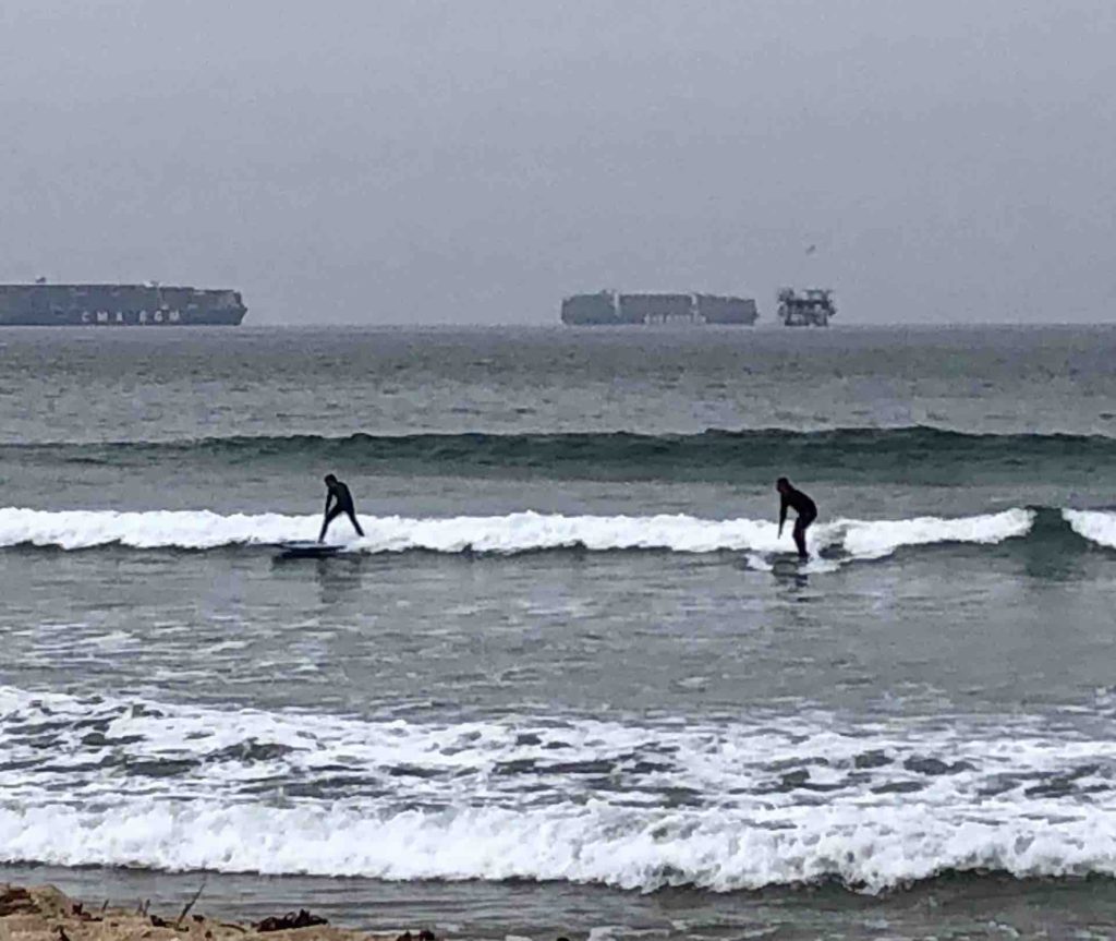
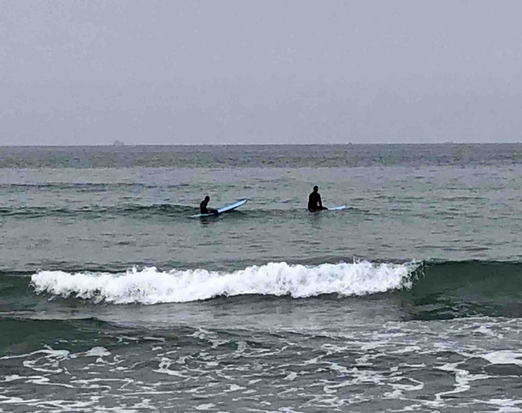
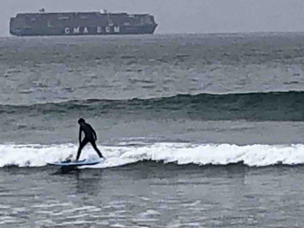
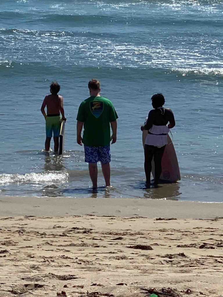
We arrived on a sunny Monday afternoon and set up camp.  Throughout the week we shared several meals together, had morning talks while watching the kids surf, went to Huntington Beach main street a few times for ice cream (yes, nondairy was an option) and did some shopping.   Reid; my son; and Steve; our new brother-in-law; tried surfing and both did fantastic for first timers. Matt’s sister and her kids also came out to the beach.  The week just flew by.

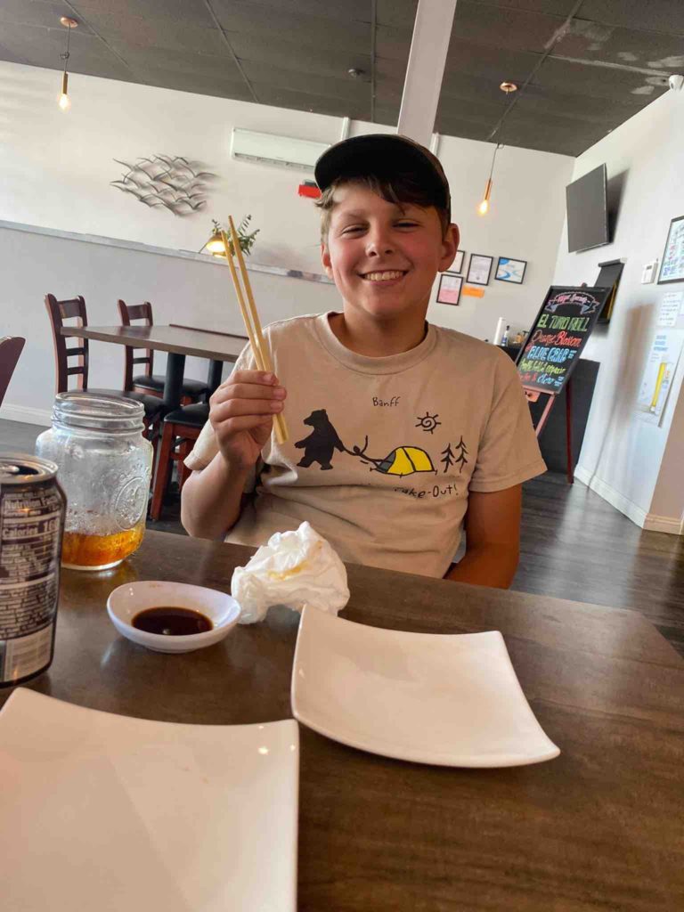
Korin, Matt, Samantha and Logan took a drive over to USC.  Logan was able to take them to lunch and give them a tour.  While they were there Reid, Eli, Asha and I played a few rousing games of UNO.  Then we were off to a sushi place for lunch.  Eli was very adventurous and tried tuna sushi and a crunchy roll aside from his usual California roll.   When we got back to camp, we took off for the beach and the kids boogie boarded for a few hours. 

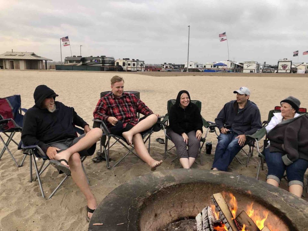
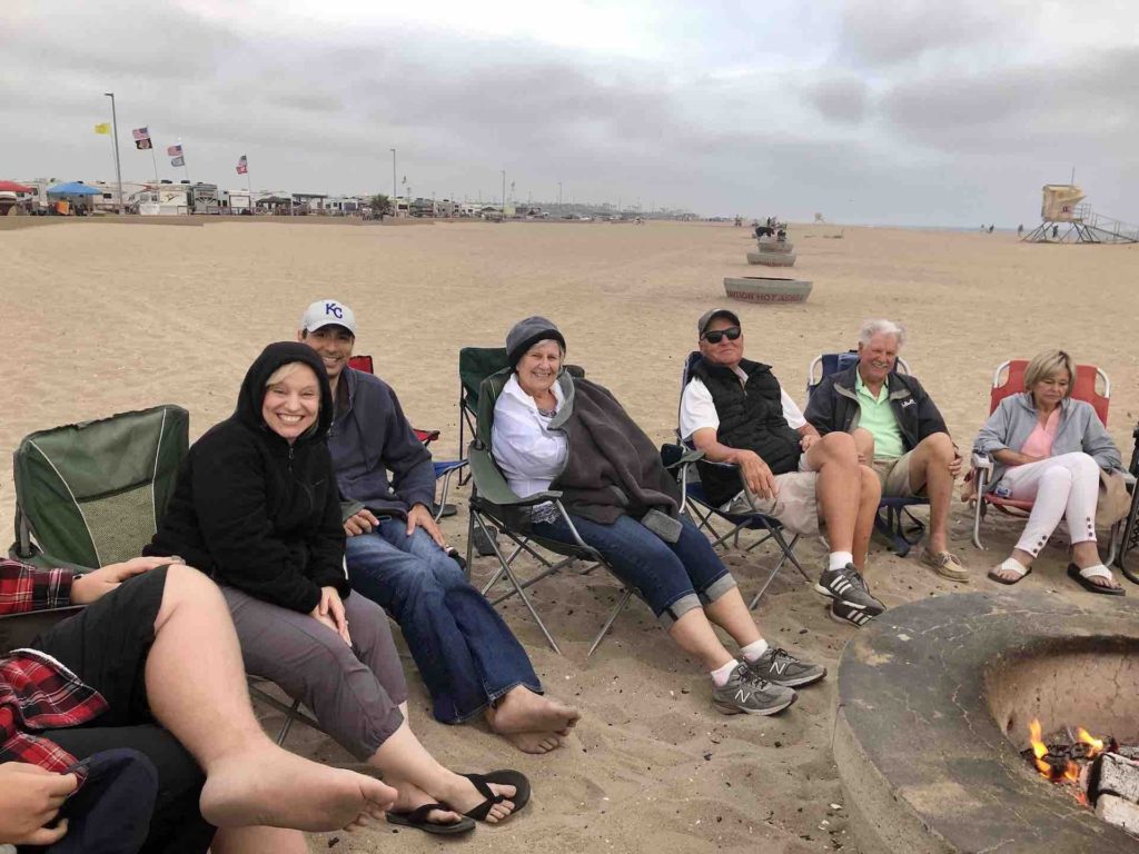
We had a wonderful night on Thursday.  The weather was beautiful.  Kathleen and Steve drove into town from MO and came out to the beach for a bon fire with our parents.  Korin and Matt’s friends, Kerry and Eric and their kids, and our Aunt Judy and Uncle Joe also came by for the evening.  We enjoyed pizza and games and s’mores by the blazing fire on the beach. On Saturday, the Rudy family and Nungester family came out to visit!

Friday and Saturday night were a time of reflection together as we gathered at our parents’ home in Cerritos.  It’s been our family’s home for 50 years and it would be the last time all 5 of us and our families would be spending time in it together.  We ate, took family pictures, and spent the time looking through “stuff” reflecting, remembering and laughing. 

Logan’s take on the week:

It was windy

It was sandy

Water was cold

Surfer’s surf

Stingray’s sting

Parking tickets and registration are very expensive

Food and family were great.

The End

Did I mention, the week went by way to fast.

Where will the Oliver’s be next?  I believe they were headed out to NV and then onto Zion to hike Subway.  I told them we have Subway’s in CA, but apparently this one isn’t quite the same.   
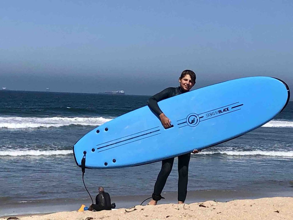
Bolsa. Chica State Beach
Matt and Eli surfing
Eli surfing
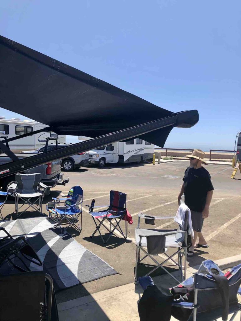
Campsite for the week
Eli sushi time
Eli, Reid and Asha
Eli loves California
Uncle Lucky, Reid, Auntie Kat, Uncle Steve and Grandma
Auntie Kat, Uncle Steve, Grandma, Papa, Uncle Joe and Aunt Judy
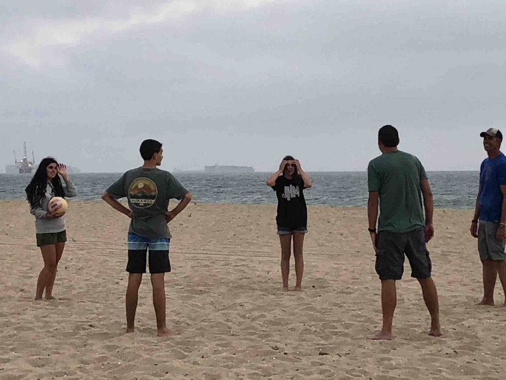
Playing volleyball with the Buss’
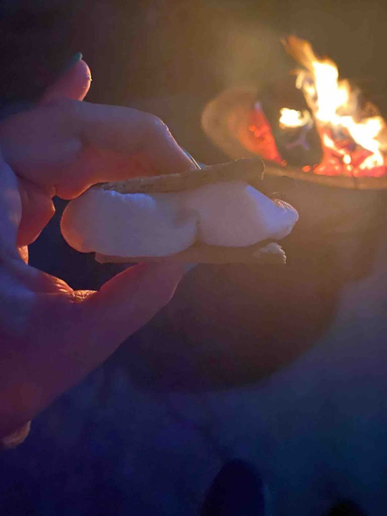
S’mores
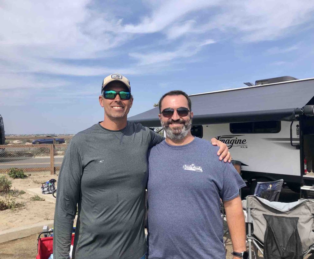
Matt and Brian
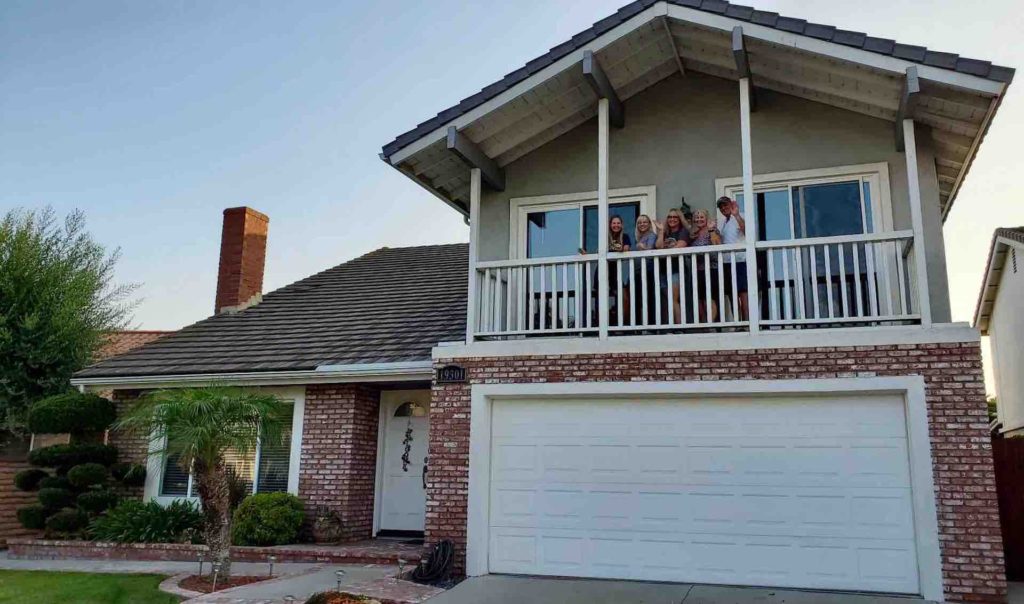
Last time at the Cerritos house!
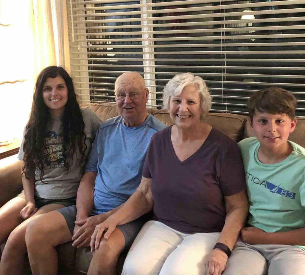
Kids with Grandma and Papa

Pinnacles National Park: Our last California National Park

Blog Post by: Korin

            Pinnacles is a relatively small national park east of the Salinas Valley in Central California. The Park is known for its rock formations and is split into an east and west side with only trails connecting the sides together and also has talus caves that house bats. Pinnacles is home to California condors, the largest flight bird in North America. We stayed in the east side at the only campground the park offers.

            Even though Matt and I went to college relatively close by, neither one of us had ever visited Pinnacles, as it was a national monument until 2013, when President Obama made it a national park. Heading into the park from Yosemite, we had low expectations and thought it would be a “check off the list” park for us as we had visited every California park except this one. We were pleasantly surprised by the unique hikes, condors, rock formations and caves the Pinnacles had to offer.

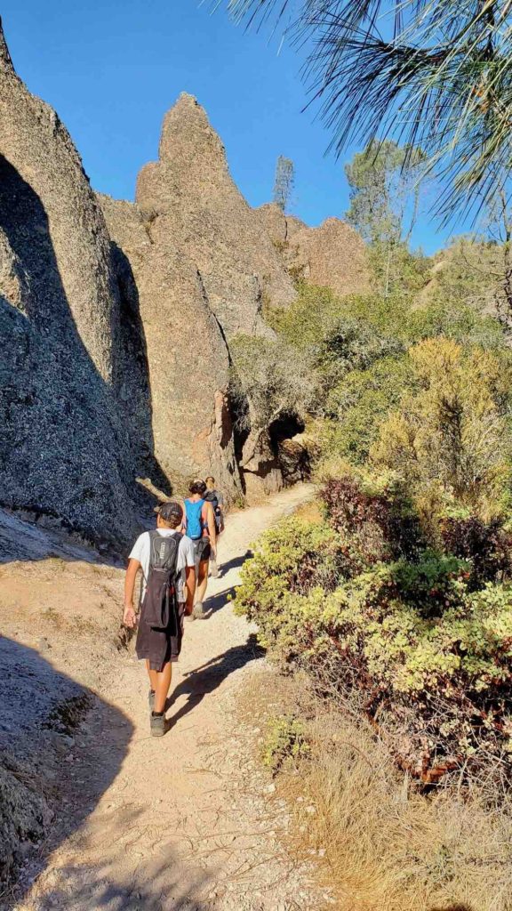
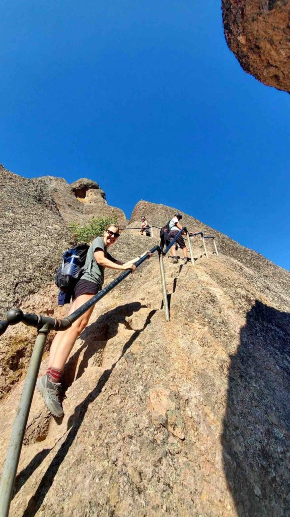
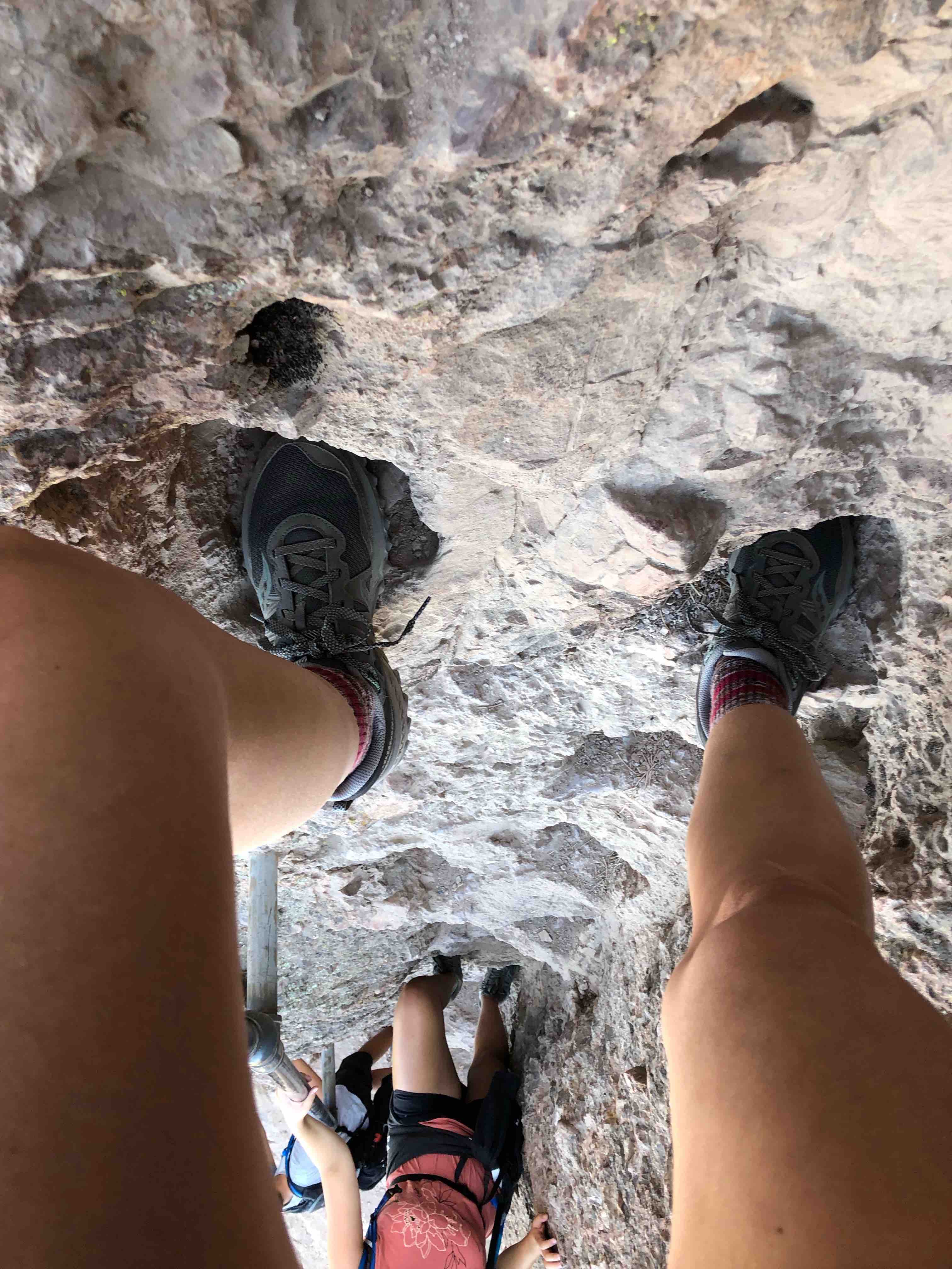
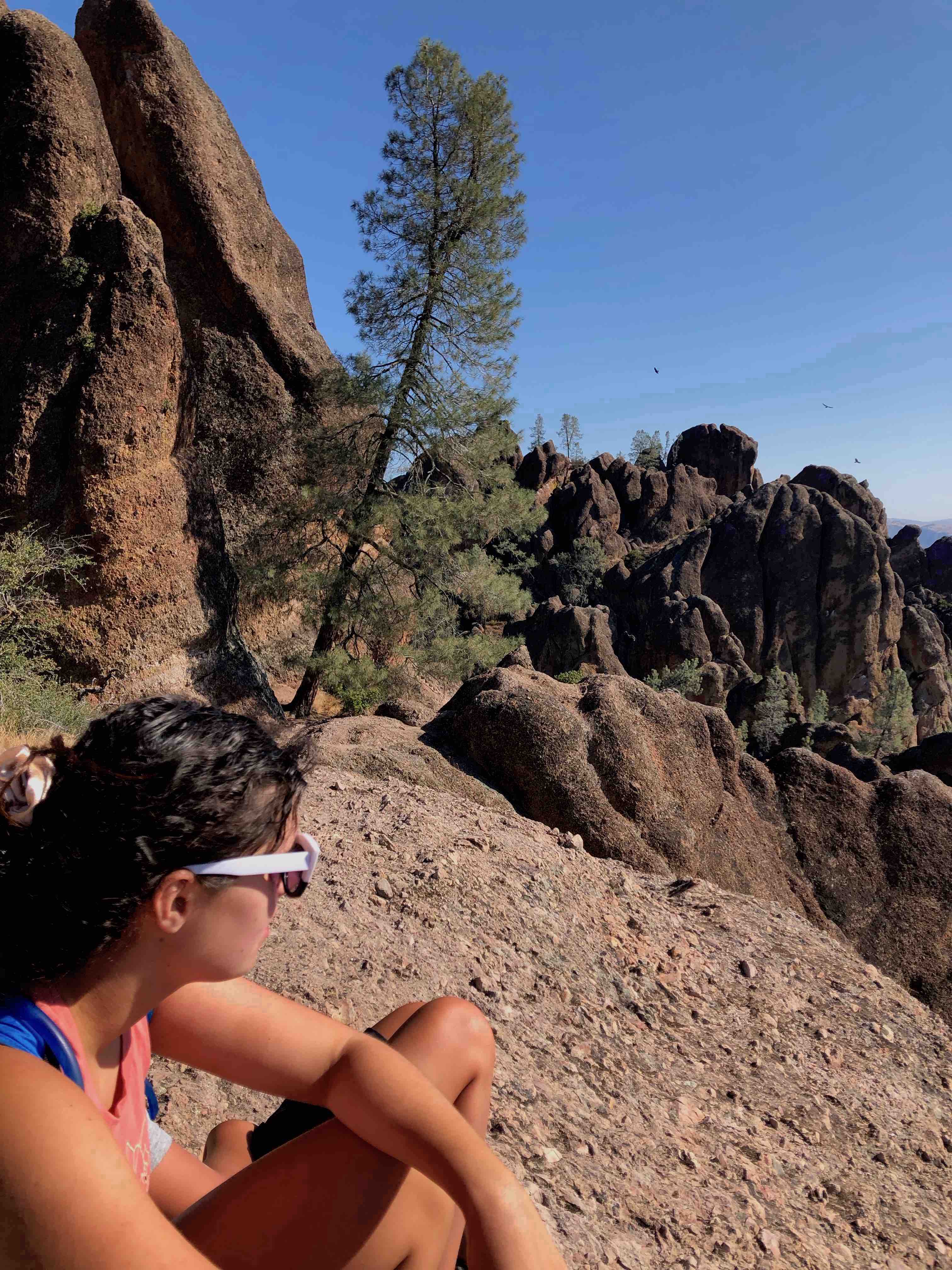
            After we set up camp, we went to a condor viewing station and the campground attendant was nice enough to show us several condors that were hanging out in faraway trees. We looked at them through binoculars and were pretty excited that we saw these birds just after getting into the area. The next morning, we started hiking by 6:55am on a 6-mile loop hike. Our route took the Condor Gulch trail to the High Peaks Trail to the Bear Gulch trail. After the first few steep miles, the hike exceeded our expectations by including railings and footholds into the pinnacle formations. Once at the top, we watched turkey vultures soar silently above us, however, although we saw condors in the trees, we didn’t see any fly. We continued to the Bear Gulch area and had lunch at the reservoir. Unfortunately, we were unable to climb into the Bear Gulch Cave due to closure for the bat colonies. The trail was beginning to become more crowded and the heat index was climbing, thus we were happy that we had accomplished hiking the whole loop by 11:30am. Later that evening, we did see a condor take flight while we were walking around in the campground.

            The following morning, we were set to meet former students of Matt’s to hike the Old Pinnacles trail to the Balconies Cave. Danielle and Ken, who live in Monterey, met us at the trailhead at 6:05am. To our surprise, Megan, another former student was with them. Matt was beyond happy to see all of them! We started hiking to the caves on what was a beautiful morning. The hike was relatively flat and the company, conversation, and views were priceless. We made it to the Balconies Cave, put our headlamps on, and scrambled our way down into it. It was a fun part of the hike and I wish it could have been longer. On our way back, I was in the back of our pack and noticed familiar looking children walking by us in the opposite direction. I looked up the trail and saw one of my closest childhood friends, Toni Cruz! What were the odds of running into her and her family while hiking in Pinnacles National Park! We were both giddy and couldn’t believe it. We caught up for a few minutes but had to say our goodbyes too quickly. I was so delighted to see her and her family, it was such a great surprise. After our hike, our family and Matt’s former students had lunch together back at the trailer. It was so much fun to see and catch up with Danielle, Ken and Megan. We said our goodbye and loaded up to drive to our next destination.

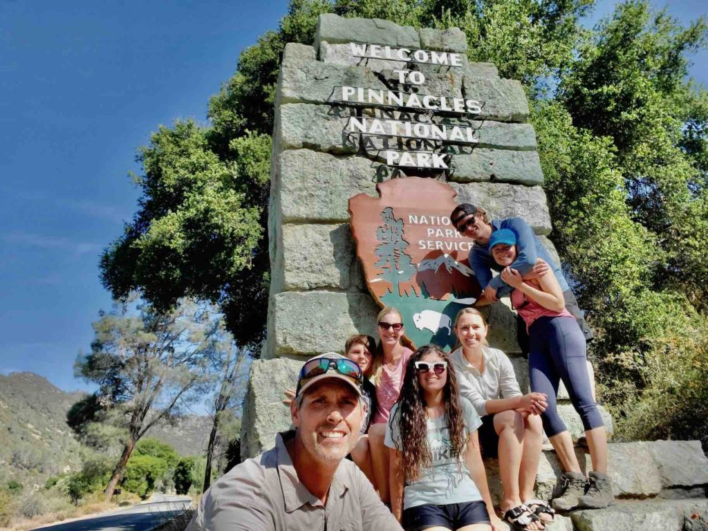
Pinnacles National Park
Pinnacles Campsite
Matt and Korin on the Condor Gulch trail.
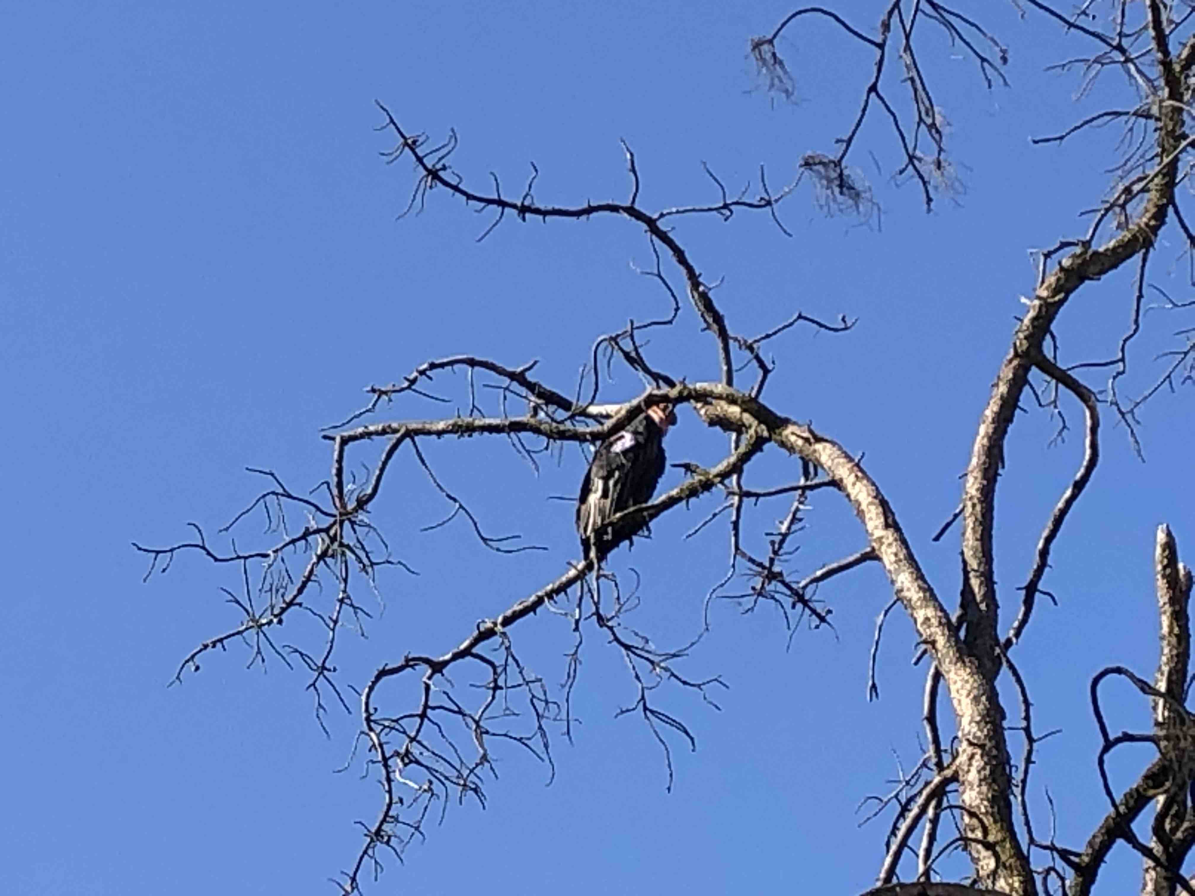
California Condor in a tree.
Hiking in Pinnacles
A steep part of the High Peaks Trail
Hiking with foot holds
At the top of the High Peaks Trail.
Watching the birds soar at the top of the High Peaks Trail.
Samantha at Bear Gulch.
Hiking the Old Pinnacles Trail to the Balconies with Danielle, Ken and Megan.
Korin and Toni meeting on the trail!

Yosemite National Park

Yosemite Part 1 by Samantha:

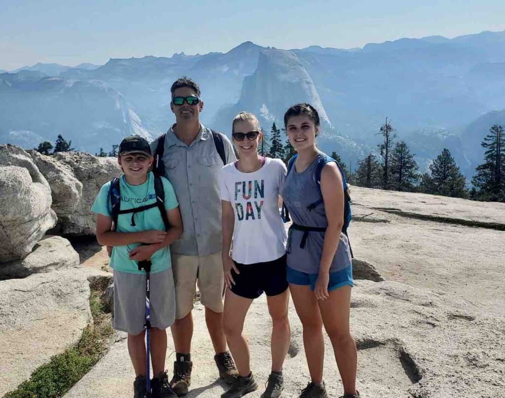
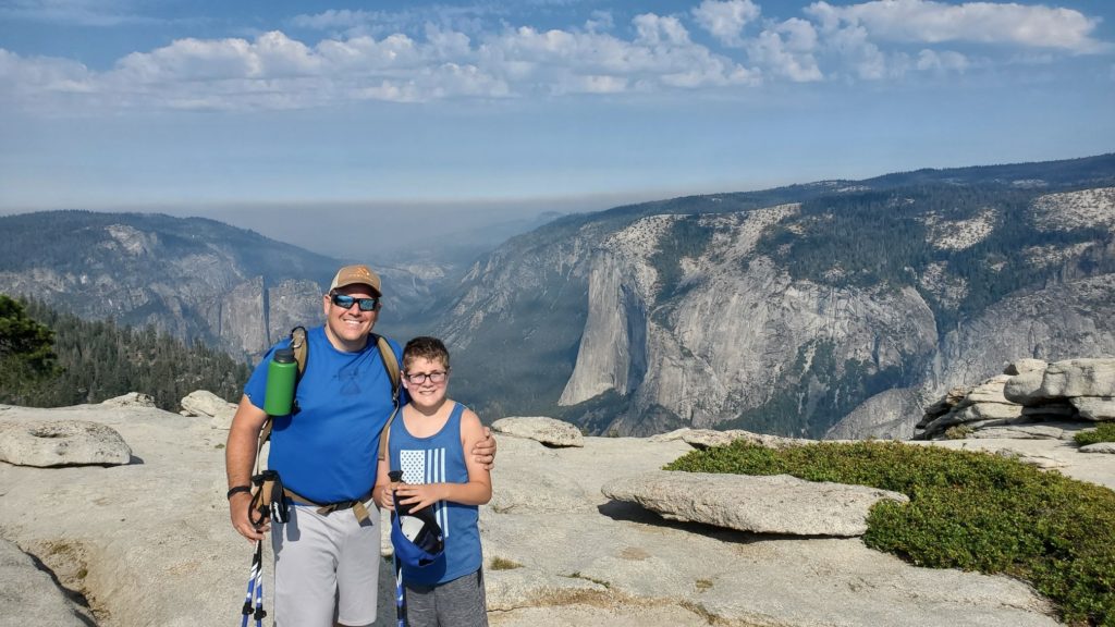
The first time you experience Yosemite, you experience it in a state of astonishment. The second time you experience Yosemite, you experience it as a blissful reacknowledgement; a remembrance and reclamation of the joy you had left there. Such was our second sojourn in Yosemite National Park, which in contrast to our first visit, was almost empty upon our arrival because of the heat wave ravaging California. It was reminiscent of a ghost town. The heat wave had dried up the Merced, and the waterfalls barely trickled out of the valley walls above us. As the water evaporated, so did the tourists, and by the time we pulled in, the park was nearly empty. It climbed to over 100 degrees in the valley and so we decided to hike in the Tuolumne Meadows, the high Sierra region of Yosemite. We first hiked 4.5 miles to Cathedral Lake, a mystical alpine meadow blanketed in serenity. It’s different being in the high Sierras; the alpine landscape is both familiar and foreign and the chilly landscape resembles a dreamland. Our second hike to Gaylor Lake was just that, out of a dream. Ascending the 1,000 feet in elevation to the lakes was a challenge. At 10,000 feet of elevation, it’s not the mileage that exhausts you, it’s the elevation. The first mile was brutal, as the oxygen was stolen from our lungs and our hearts almost beat out of our chests. But as we reached the top of the mountain and beheld the valley below us, it was as if we had been transported to a stark yet fantastic landscape. The lakes were surrounded by vibrant meadows and a carpet of butterflies. We hiked through the meadows to an abandoned mine, where we beheld the majesty of the high Sierras. The next day, we hiked with the Nungesters to Sentinel Dome, which overlooks the valley floor. We beheld the jaw dropping panorama of Half Dome, El Capitan and the Three Brothers. It was a stunning view of the park and reminded us of how small we are compared to the world around us.

Yosemite Part 2 by Korin:

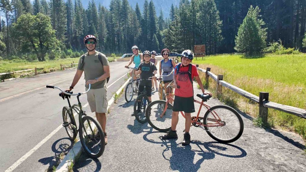
We had been planning to visit Yosemite for more than a year. In January, we were fortunate enough to score three camping reservations so we invited Matt’s sister’s family and his parents to join us.  When we got back from the Gaylor Lakes hike, the Nungesters and Matt’s parents had arrived. That afternoon, we spent a lot of time in the Merced River cooling off. The following day Matt, Samantha, Eli, Jon, Josh and me hiked the Sentinel Dome and Taft Point loop. We saw one bear on the trail and enjoyed catching up with one another. The next day, we rented bikes and rode through the valley. It was such a great way to see the valley! Matt and Jon headed back to Gaylor Lakes in the Tuolumne area to fish the next day while the rest of us hung in and around the Merced River. Our time in Yosemite went quickly and it was an amazing place to spend time with family.  

We applied for the Half Dome preseason lottery and started training for the hike in January. Unfortunately, we didn’t get permits for Half Dome. We continued to train and planned to submit in the daily lottery once we were in the valley. Once in the valley, we tried in the daily lottery each day but we were unsuccessful. We were very disappointed but I guess this just means we will have to come back to this beautiful valley in the future!
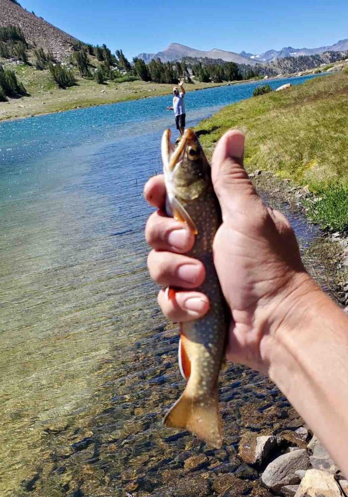
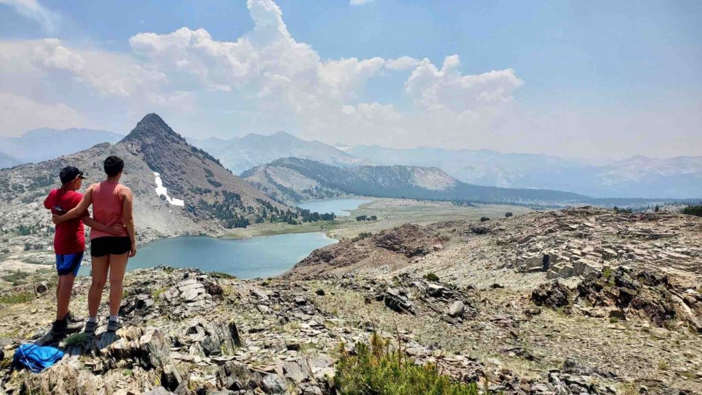
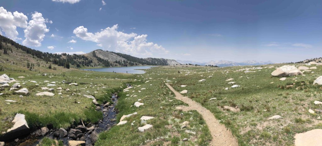
Gaylor Lakes
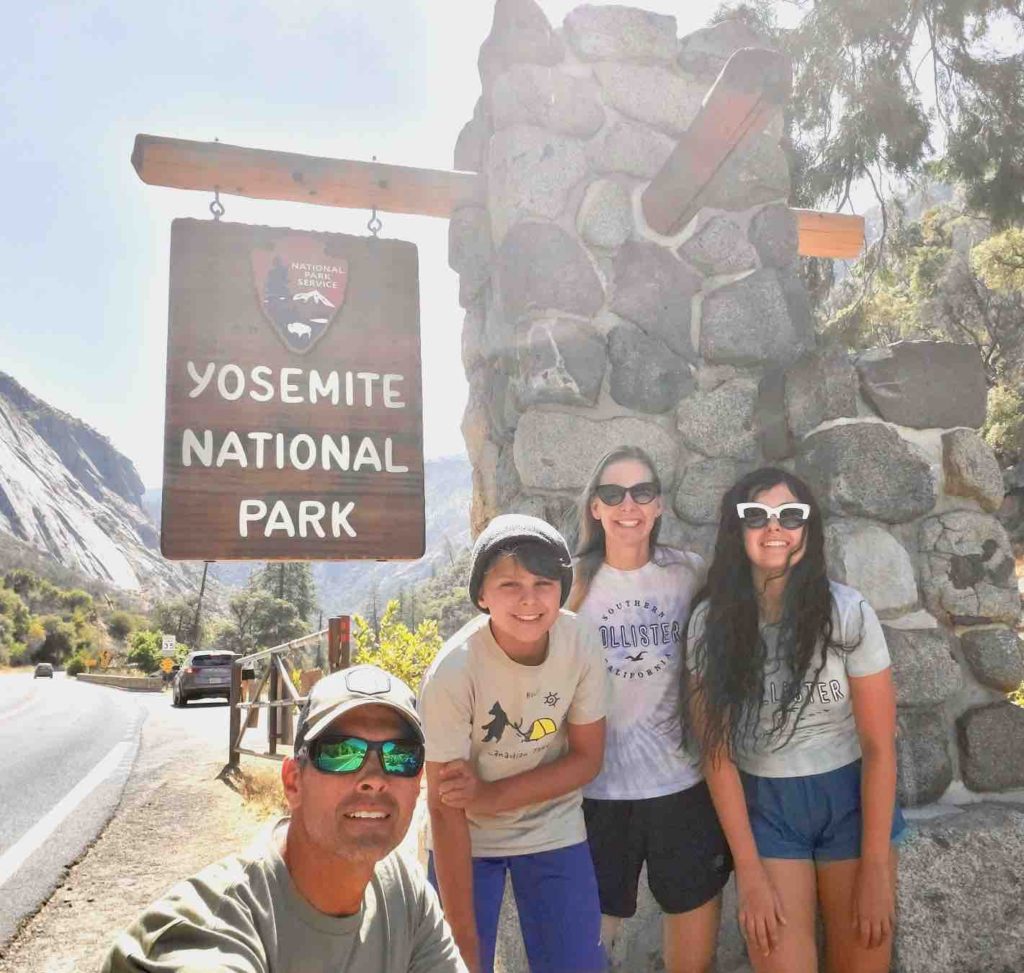
We made it to Yosemite!
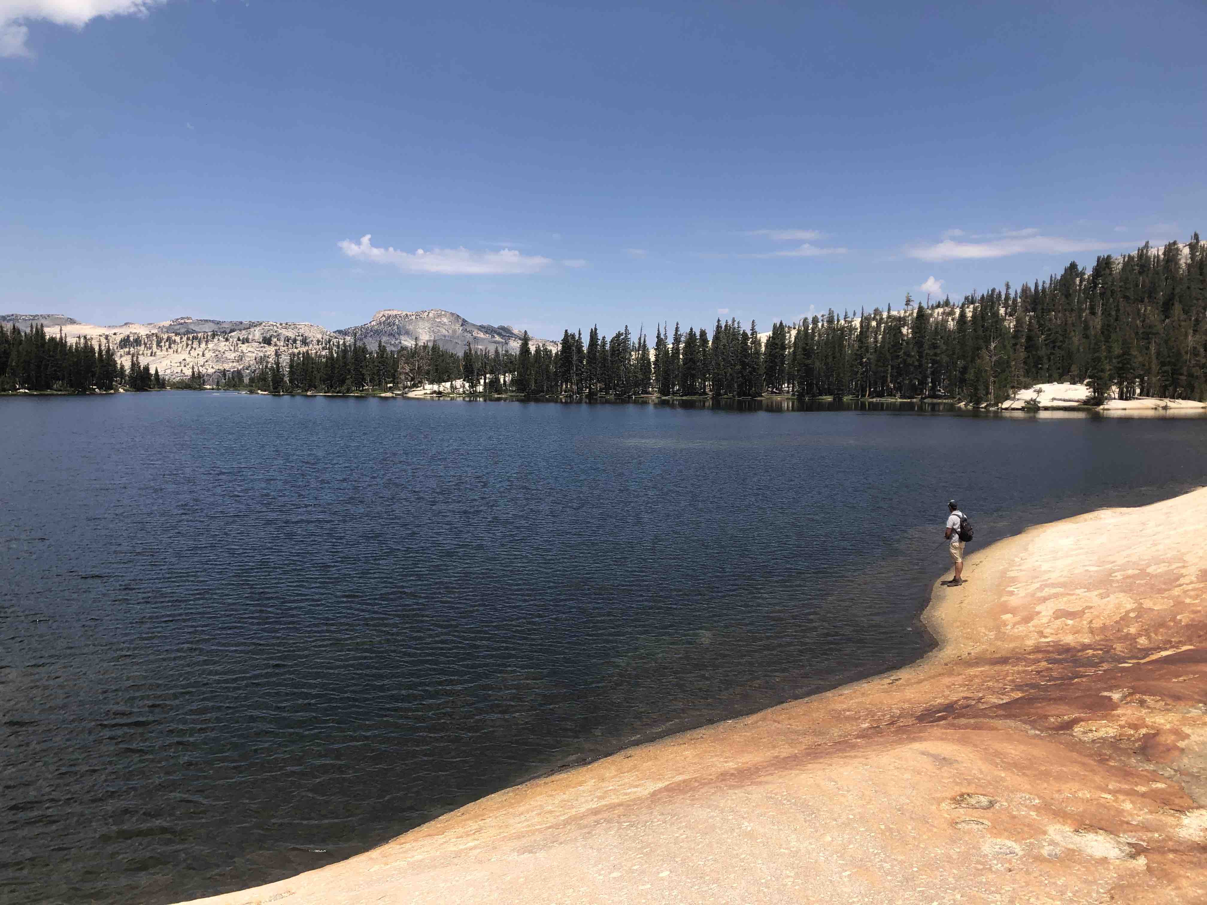
Cathedral Lake
Gaylor Lakes
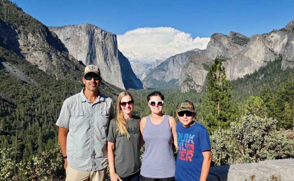
In front of Half Dome
Jon and Josh
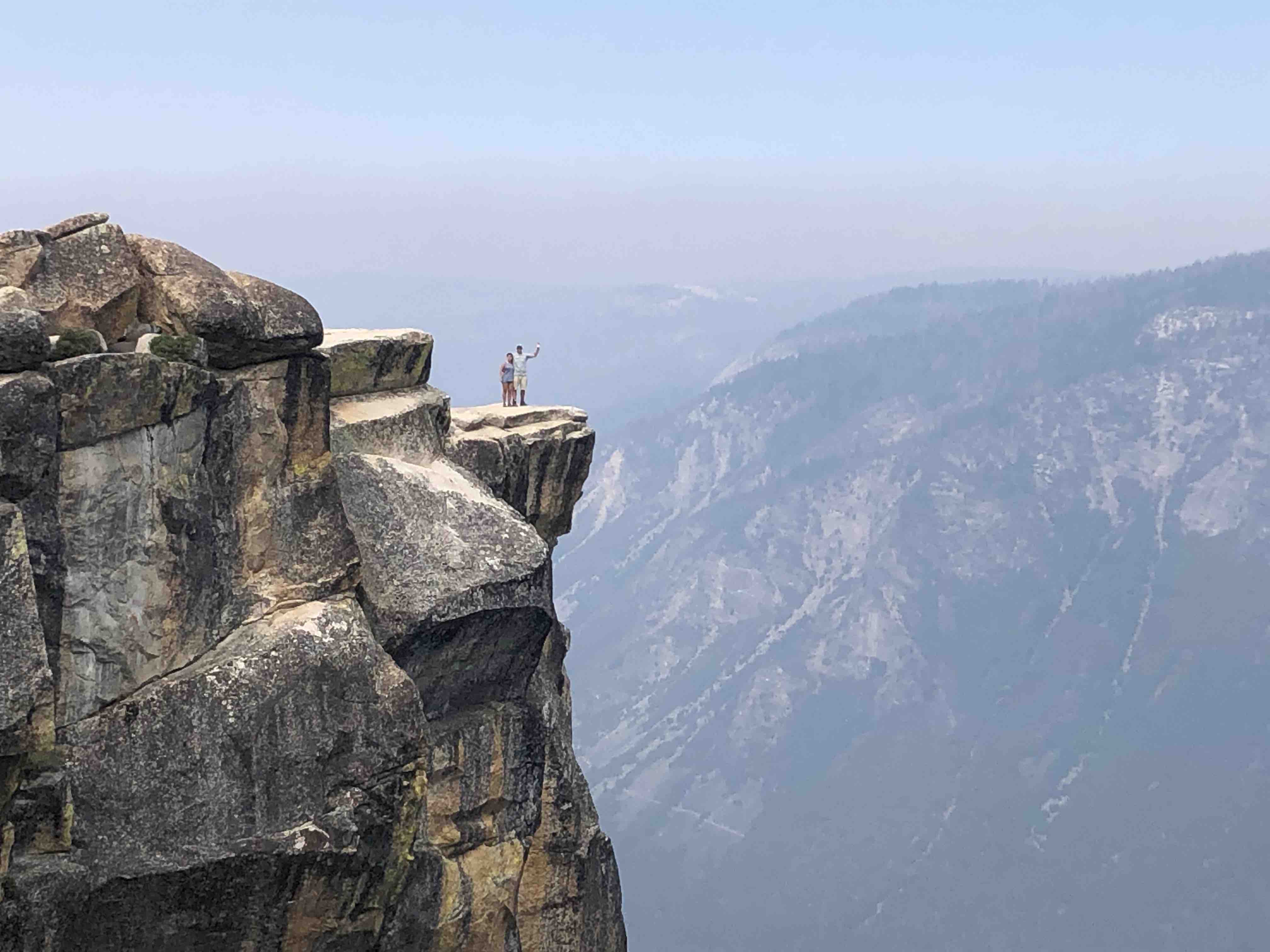
Matt and Samantha on Taft Point
Fish eating Jon
Katie, Josh, Eli and Samantha
Biking through the Yosemite Valley
The Nungesters
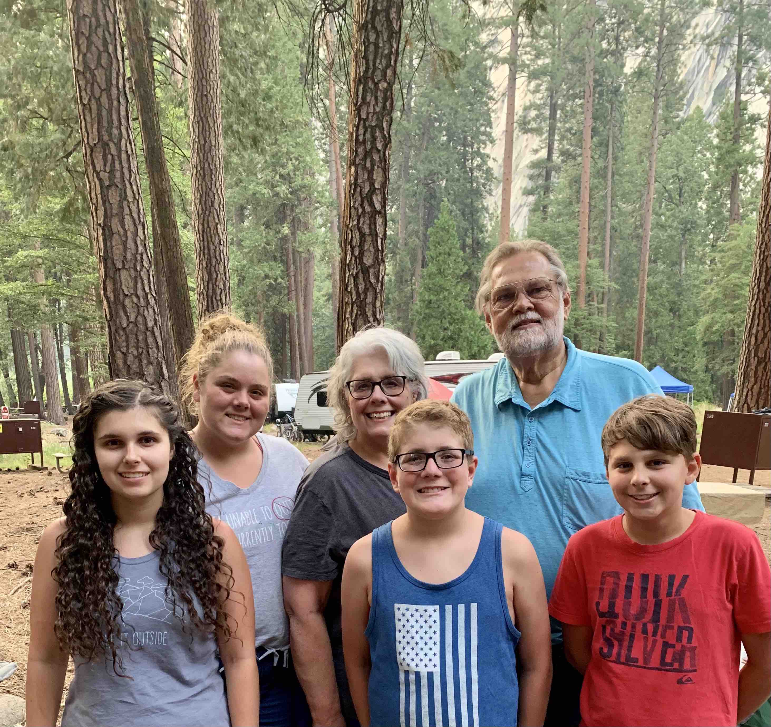
Giga and Opa with the Grandkids
Yosemite 2021

Kings Canyon National Park: Too hot to Handle

Blog post by: Korin

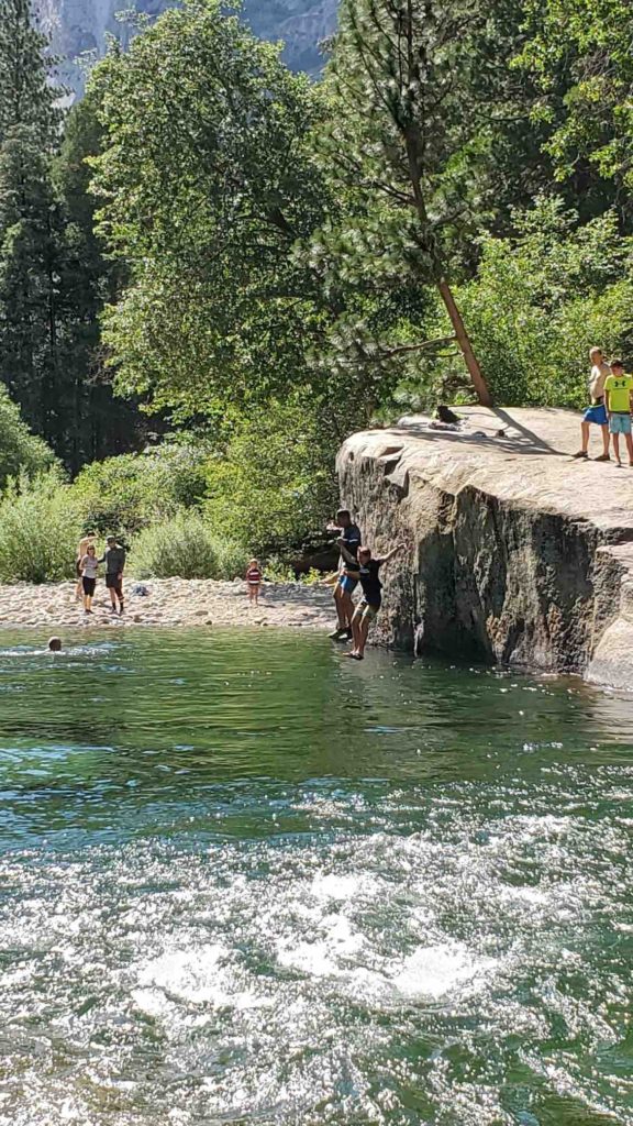
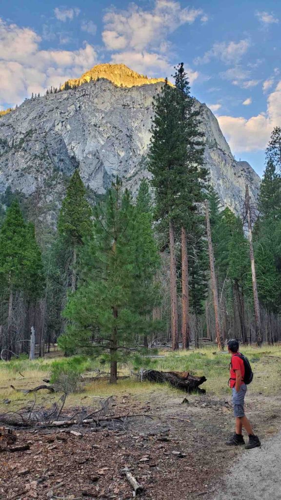
     We left Sequoia National Park and headed to her sister park, Kings Canyon National Park for three nights and four days. Most people lump these two parks into one but I’m glad we made time for both as they are quite different. Our first stop in Kings Canyon was Grants Grove, where we walked through the sequoia grove and saw the General Grant tree which is the third largest tree in the world. We enjoyed the short walk among the giant sequoias and then headed down into the canyon section of Kings Canyon, to an area called Cedar Grove. Driving down the canyon road was a bit nerve wracking because of the sharp turns and narrow passes, but the views were absolutely spectacular. We pulled into our site at Sentinel Campground and quickly realized that the California heat wave was in full force (the temperature was over 100 degrees) meaning it was too hot to hike. After setting up camp, we found a popular swimming hole called Muir Rock and we were able to cool off in the very cold water. Eli and Matt had a great time jumping off the rocks and we all relaxed while looking up at the magnificent canyon walls.
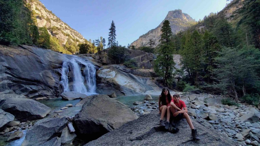
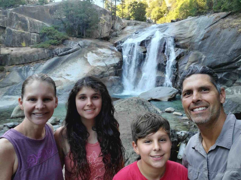
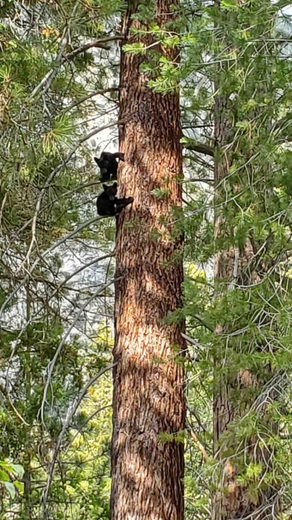
            The next morning, we set off towards the Roads End Permit Station to hike to Mist Falls, one of the most highly rated hikes in the park. To beat the heat and crowds we were on the trail by 6:15am. The hike was a nice combination of walking through trees and rock scrambling to reach the waterfall however, the bugs were tough (particularly the mosquitos). On the way back, the temperature was climbing but the bugs were more manageable. The ranger told us that there were a lot of snakes out and sure enough, Matt spotted a rattlesnake just off the trail! The 8-mile hike tired us all out and after eating lunch at the trailer, we headed back to the swimming hole. While at Muir Rock, a mother bear and her two cubs came down to the water. The cubs were adorable and it was such a treat to watch them run behind their mom. This was by far the closest I have been to a mama bear and her cubs!

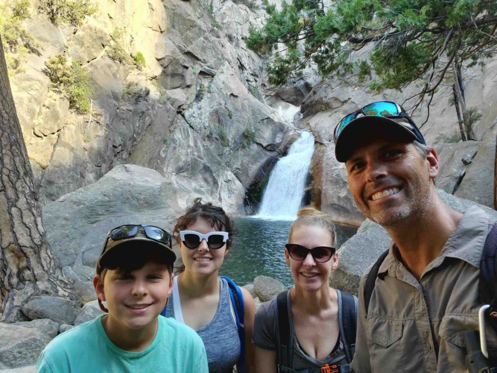
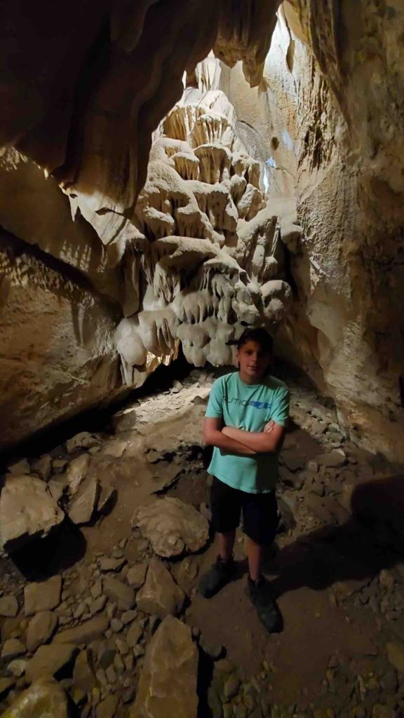
            On our final day at Kings Canyon, we did a few shorter hikes early in the morning. First, we hiked Zumwalt Meadow, which is a 1 ½ mile, flat out and back hike. Early into the hike we spotted a deer with two very young fawns! Matt fished from the river and caught a few trout. Next, we headed to the Roaring River Falls trail which is a short roadside hike to a powerful waterfall. Matt caught a few more fish and we continued on our way. We drove just outside the park to Grizzly Bear Falls. There wasn’t very much water coming down from this waterfall but it was still beautiful. Up the road was Boyden Cavern, and we decided to beat the heat and take a tour. The tour was interesting and the temperature inside was 55 degrees–  Perfect! After eating lunch back at the campsite, we once again headed to Muir Rock to swim, rock jump, and ice our muscles in the cold water. We weren’t there long before an intense thunderstorm started and we headed for camp. The rain was a nice change and certainly cooled the area down quickly.

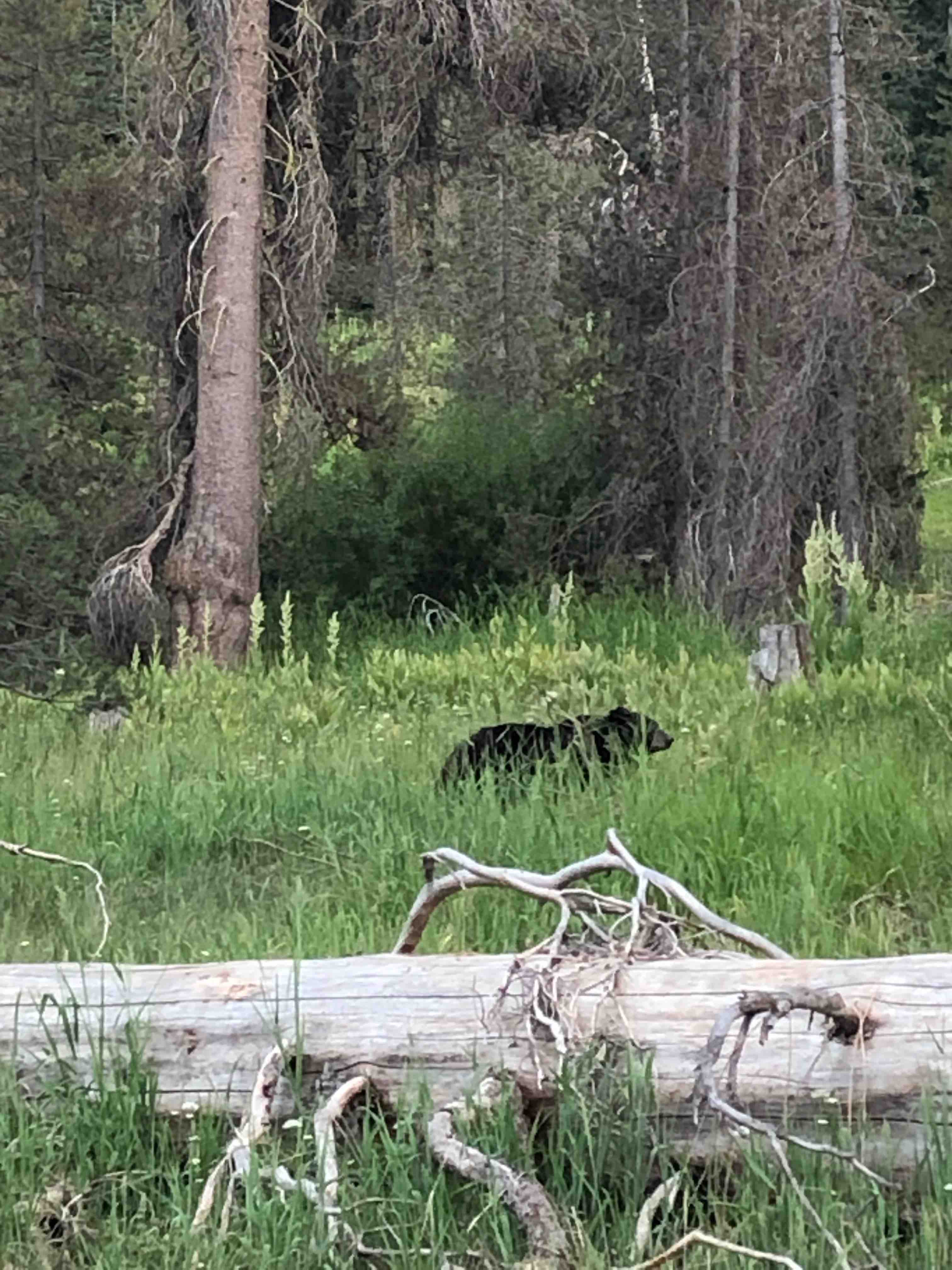
            Overall, the beauty of Kings Canyon National Park was breathtaking. The wildlife was abundant as we saw black bears and cubs, deer and fawns, a rattlesnake and many different types of birds. When you visit, don’t just stop at Grants Grove. Instead, take time to drive the long winding road into the bottom of the canyon to enjoy the trails, animals, Kings River and the vast Canyon walls.

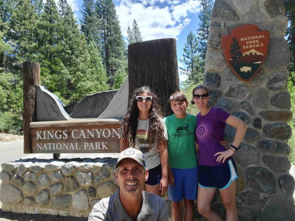
Kings Canyon National Park
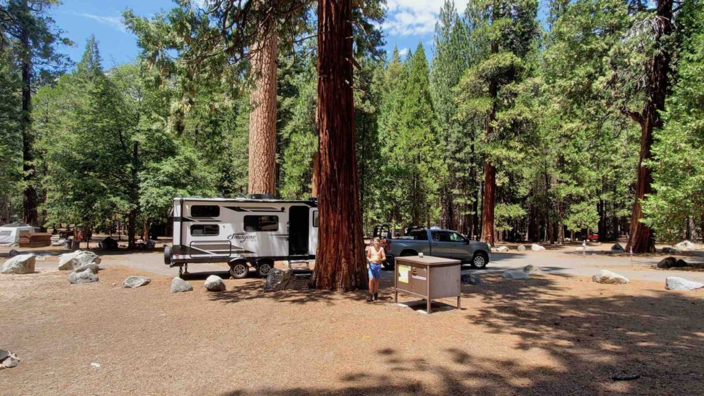
Our campsite in Sentinel Campground
Matt and Eli jumping off Muir Rock.
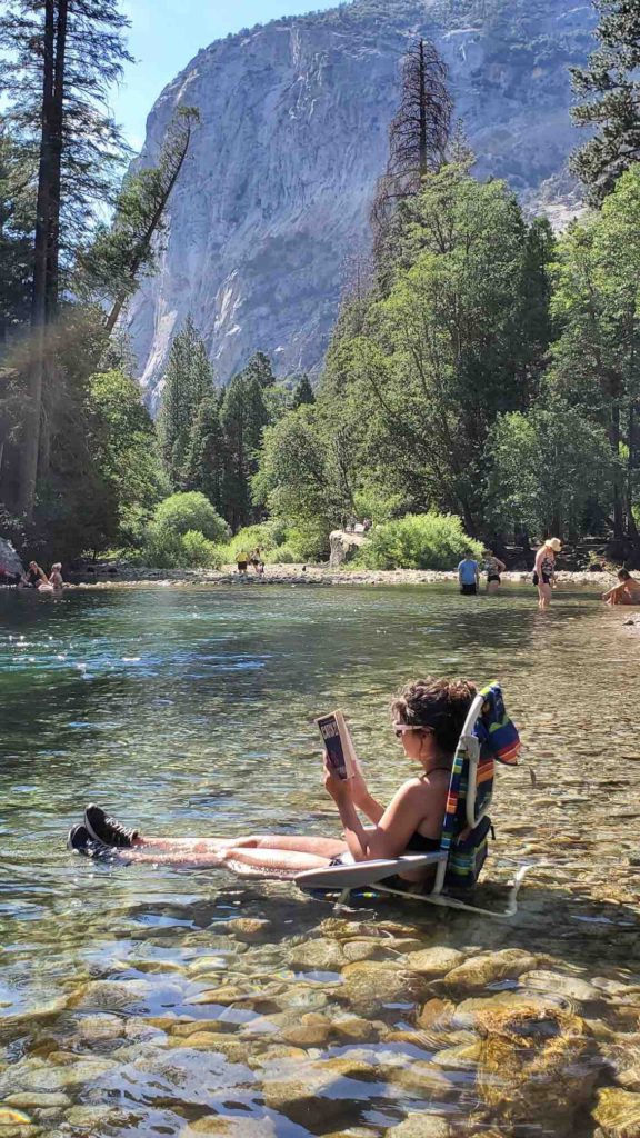
Samantha relaxing in the Kings River.
Hiking to Mist Falls.
Eli hiking to Mist Falls.
Samantha and Eli in front of Mist Falls.
Mist Falls
Roaring River Falls
Bear cubs
Eli inside Boyden Cave.
Bear Video

Sequoia National Park: A breath of fresh air

Blog Post by: Samantha

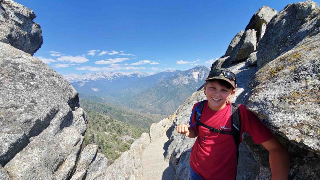
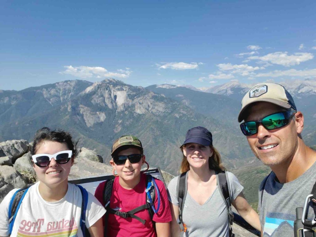
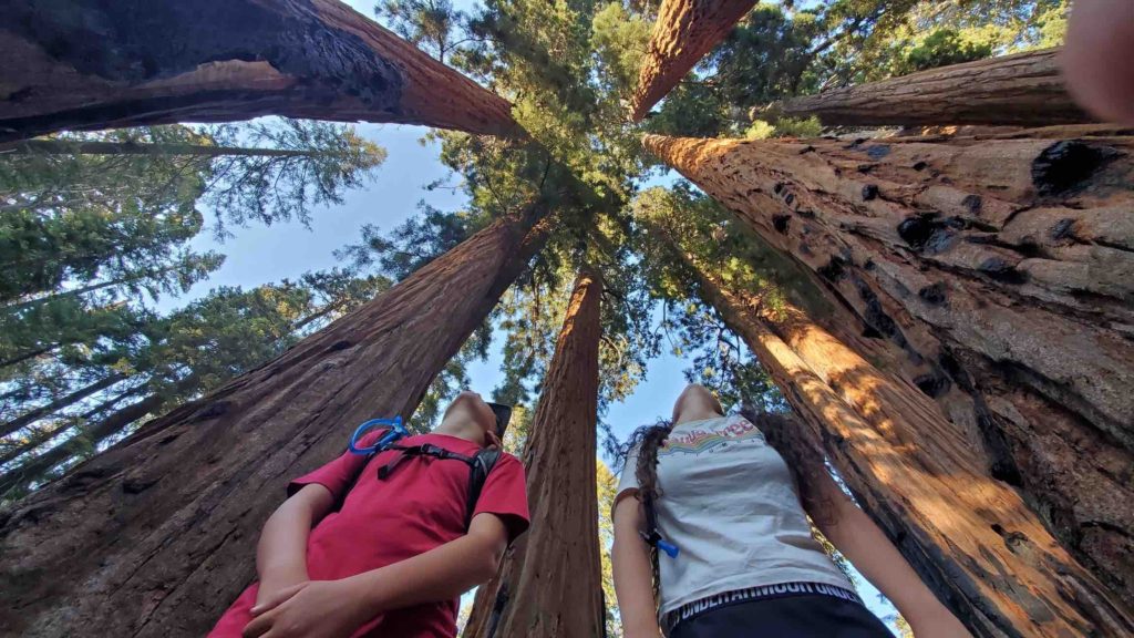
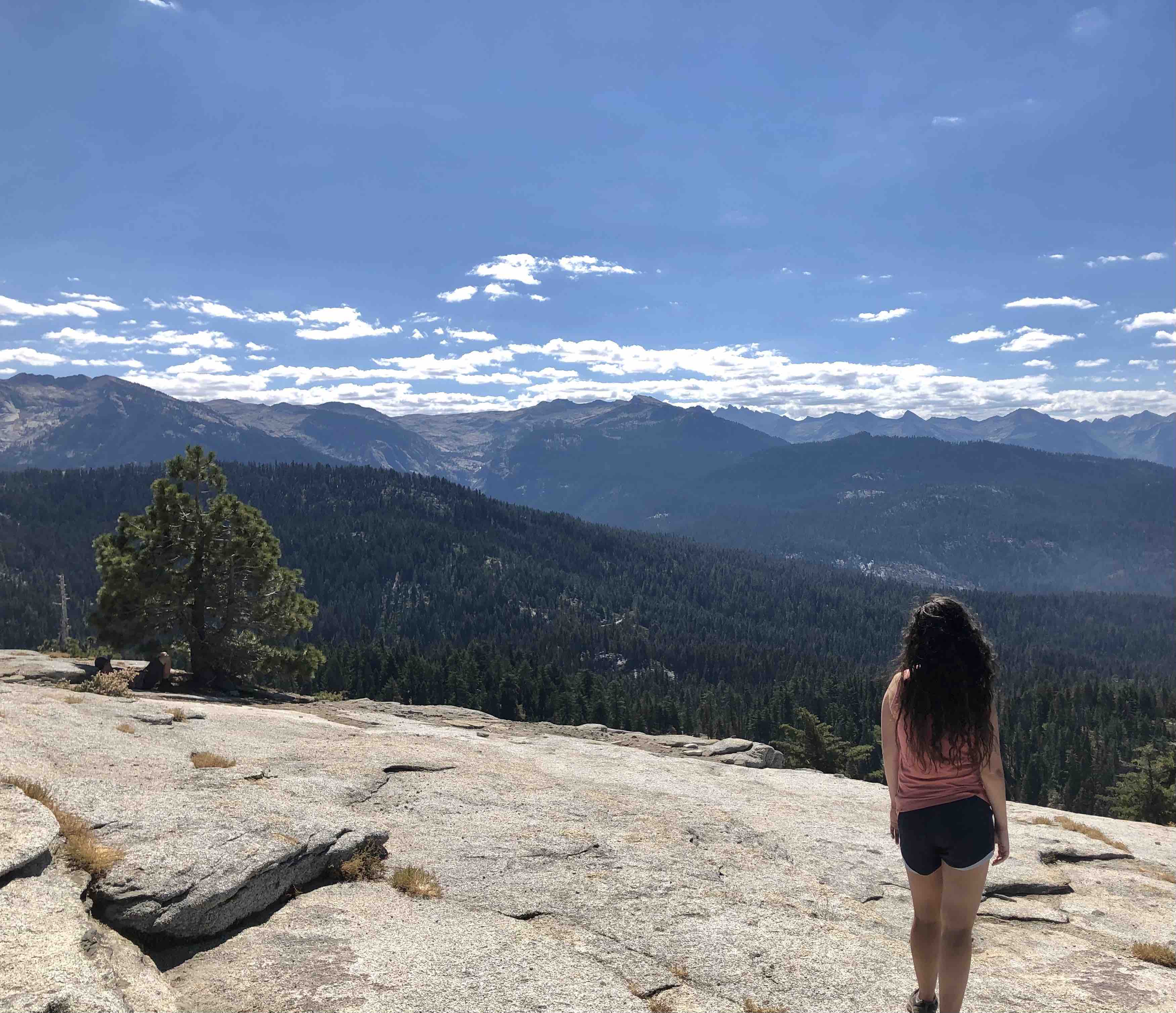
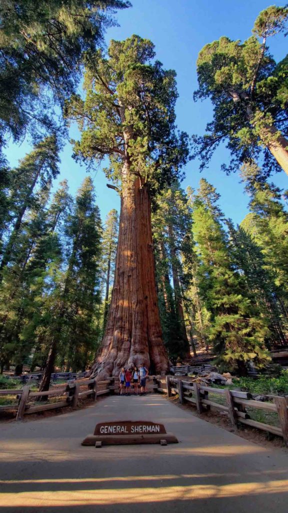
After a year stuck inside, Sequoia National Park was truly a breath of fresh air. The air there is like nothing else in the world; the scent of ponderosas rules the drive up to the park. It was with a sense of excitement that we made our way to the park, and we started off our trip by hiking Morro Rock, a trail which comprised of 400 stairs to the top of the rock. For my mom and I, it was the first time this year we had hiked at elevation, so it was a bit of a rude awakening. However, the view from the rock was magnificent, and was well worth the hike. That same day we hiked to General Sherman, the largest tree in the world. It seemed strange that such a large tree could exist; it looked like something out of an alien world. By this time, the holiday crowds had cleared out and so we took the Congress Trail among the other sequoias. It was dusk, and the sunlight started to filter between the giant trees. There was the sensation of having been shrunk; as if we had replaced the beetles and ants and merely crawled along in the shadows of the mighty sequoias. The next day we hiked up to the Little Baldy mountaintop, our first early morning hike as a family. We arrived at the trailhead early, as to avoid the crowds and the heat. Midway through the hike, my lowland-loving hide was gasping for breath during the 700-foot elevation gain over 1.7 miles. However, the view from the top of the mountain was gorgeous; the panoramic of the surrounding lands was breathtaking. We were the only ones up there, and you could feel the encroaching quiet pressing down on your eardrums, a remanent of this landscape centuries before the settlers. Overall, this park was a great one to get back into the rhythm of camping, and to appreciate the riches of the nature around us.    

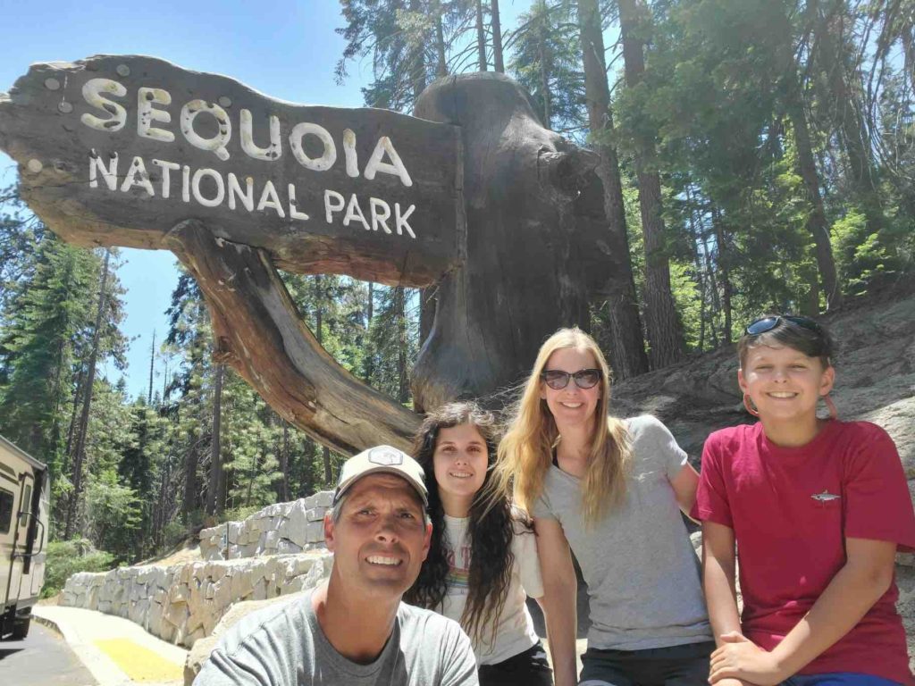
We made it to Sequoia National Park!
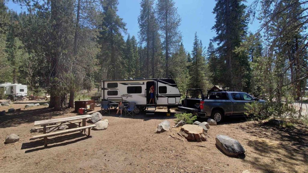
Our campsite in Lodgepole Campground, Sequoia National Park.
Eli hiking up Moro Rock.
At the top of Moro Rock in Sequoia National Park.
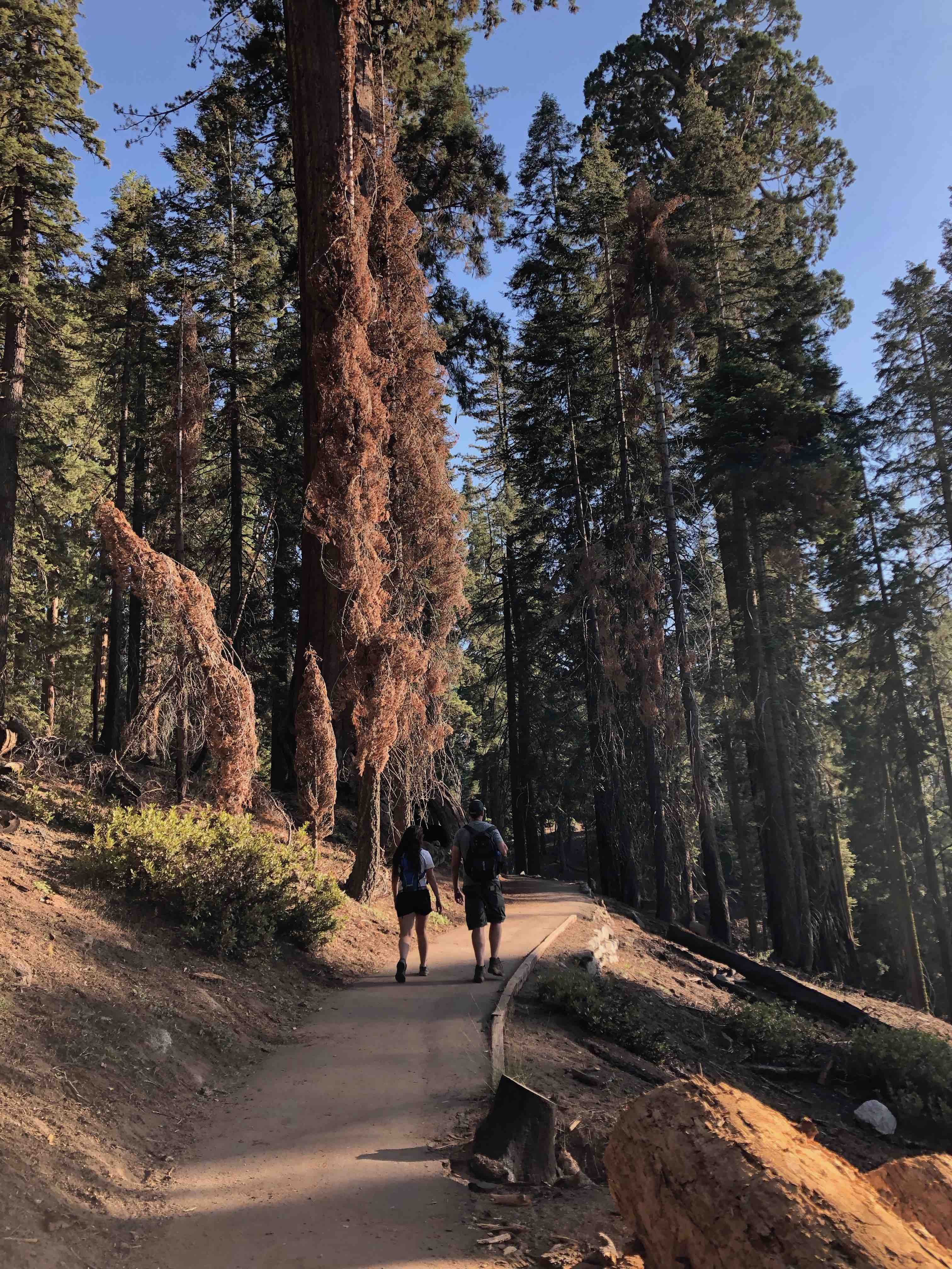
Matt and Samantha hiking the Congress Trail.
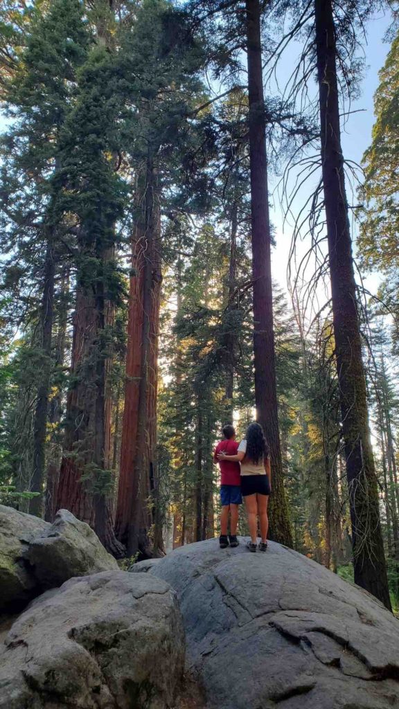
Eli and Samantha looking at Sequoia tress.
The trees are spectacular!
Hiking up Little Baldy.
At the top of Little Baldy.
Samantha on top of Little Baldy.
General Sherman Tree
Sequoia Black Bear

Dinosaur National Monument. Check it out!

By Eli

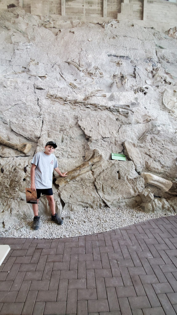
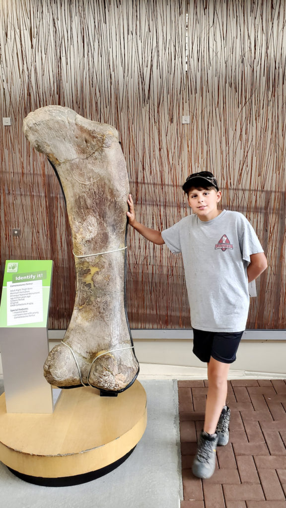
Dinosaur National Monument was an awesome experience, I loved it. The first evening, we visited the Dinosaur Quarry. In 1909 Earl Douglass discovered several fossilized vertebrae coming out of a sandstone ridge. He had discovered a Dinosaur “Log Jam”, where many dinosaurs died together in a riverbed, and were preserved. It is one of the densest collections of large dinosaur fossils in the US.  We saw all different dinosaur bones and got to touch them and even saw a Allosaurus skull! Most of the bones found there have been transported to world renowned museums which is super cool. Later, we walked along the Fossil Discovery trail where we found clam fossils, dinosaur fossils, and fossilized fish scales. It was a really neat experience. That evening we set up camp at the Green River Campground, and skipped rocks on the river next to our campsite.  

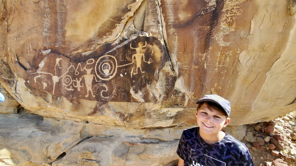
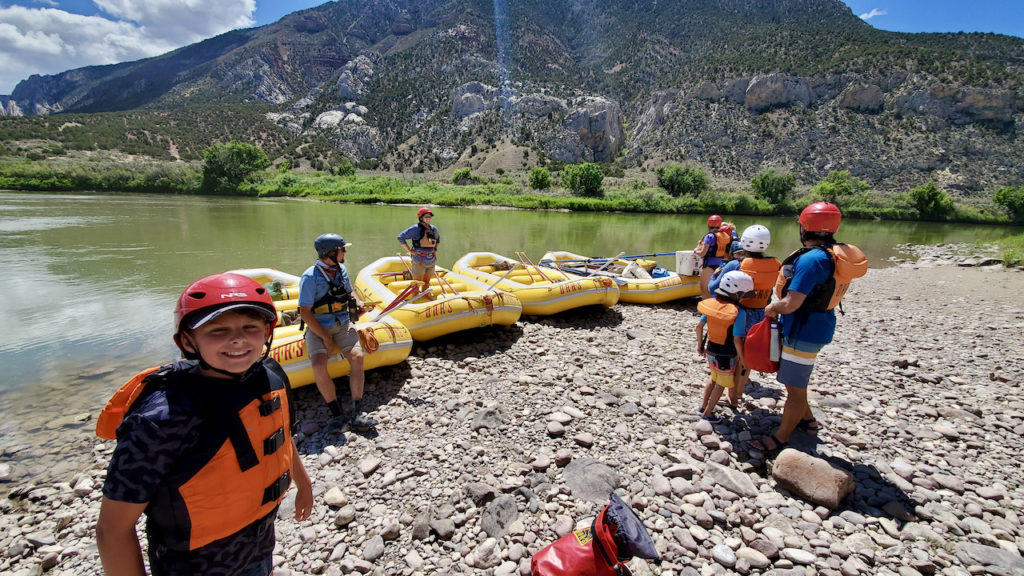
The next day we went river rafting on the Green River. We met up with the OARS white water rafting about 45 minutes away from our campsite in Vernal, UT.  We were met with a cheerful and wonderful staff that helped us the entire day. They bussed us up river to Rainbow Park Campground. Along the way, we stopped at the McKee Springs Petroglyphs. They were pretty cool, but at some point in the last 200 years, somebody used these petroglyphs for target practice.  Now, both the petroglyphs and their bullet holes are protected by the NPS.

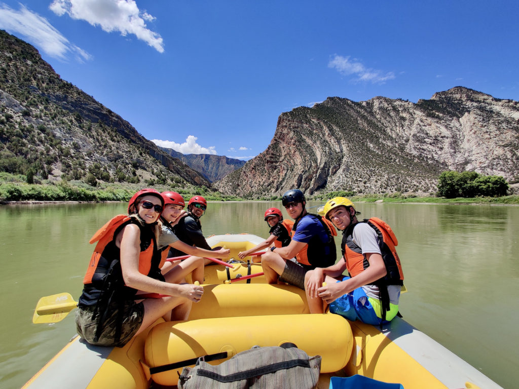
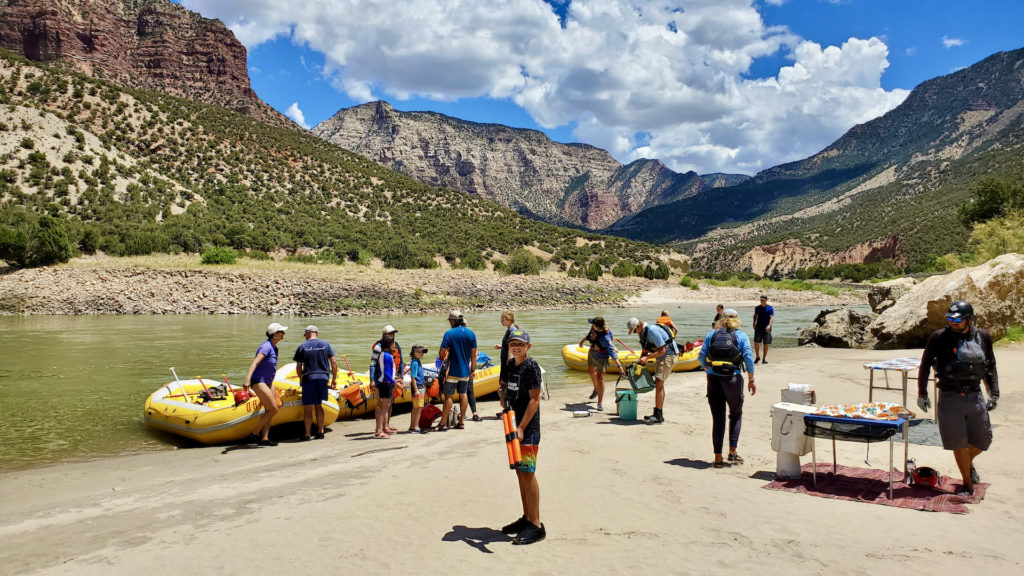
 At the start of our rafting trip, we are greeted by a huge beautiful canyon with many different types of rocks. It was  gorgeous. We came to our first rapid and get rocked around. It felt like we raced down the river with tremendous speed! We rowed as fast as we could and got knocked around, all the while me and my dad had smiles on our face. We stopped for lunch and we really got to experience the full beauty of the canyon and split mountain. We could see about 10 bighorn sheep on the canyon walls above our lunch spot. One of the best things about lunch was that I got to patrol the shore with a water gun, and blast my Dad with water. After we had a delicious lunch that the guide prepared for us and some dairy free cookies, we were on our way.

We passed through more exciting rapids. When the river was calm, we floated beside the boat down river. It was super fun to be pushed along by the current and look up at the towering canyon. After that, I rode through some rapids while sitting on the bow the raft. My legs were dangling over the front of the raft, and I held onto the safety line. They call this “riding the bull”.  It was an experience of a lifetime! Overall the experience at Dinosaur National Monument was phenomenal and amazing.

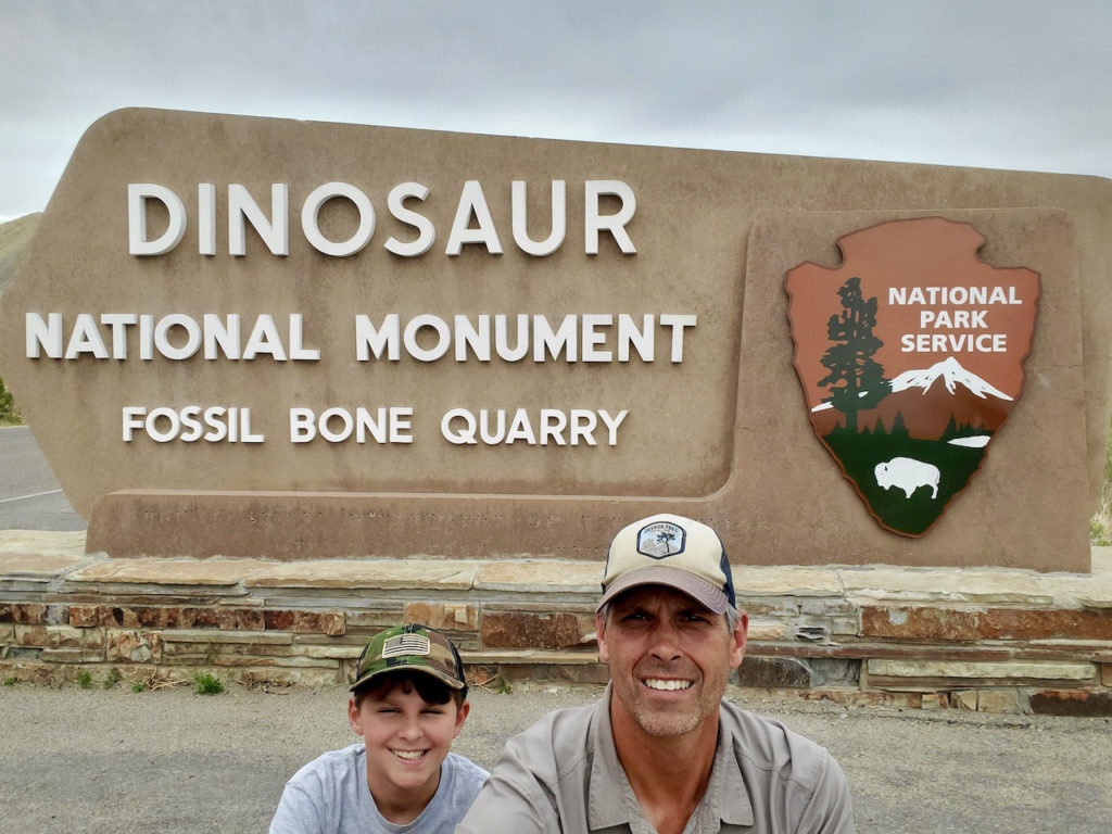
Matt and Eli at the Dinosaur NM entrance in Jensen, UT.
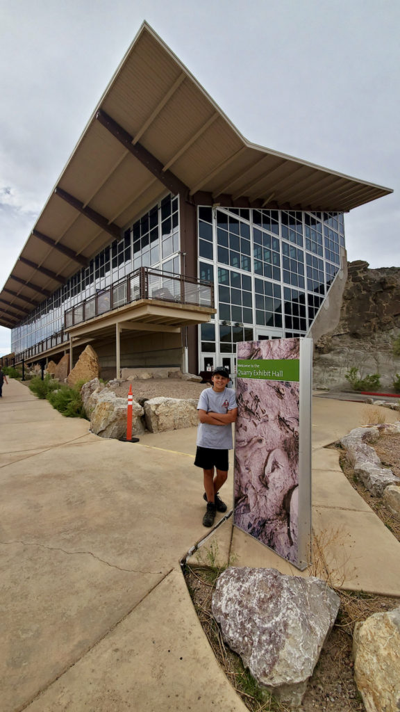
Eli in front of the Quarry Exhibit Hall
Eli next to the “log jam” in the quarry exhibit.
Eli and a bone from an obviously teeny tiny dinosaur.
Matt and Eli at their green river campsite
Our ride to the Rainbow Park launch site.
McKee Springs petroglyphs. These glyphs are ~800 years old. Later, some cowboys (or cowgirls) used one of them for target practice.
Getting ready to raft!
We are getting ready to enter Split Mountain Canyon
Eli prowling the shores of the green river with a water canon. It was so refreshing to get a blast of cool water in the heat!
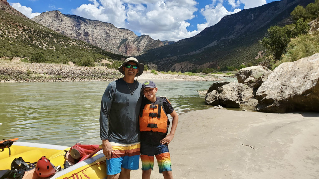
Matt and Eli along the green river in Split Mountain Canyon.
Eli contemplating the sunset along at Dinosaur National Monument

Canyons, Arches, and, Dead Horses?

By Eli

(Note from Dad: The accuracy of this post is under review by experts)

The day started like any other. I was cozy in my sleeping bag too only hear the sweet sound of…WWII torture? That definitely wasn’t in the script. My dad awakened me with Dan Carlin’s HARDCORE history and the topic of Pacific Theater. After getting mortified we left Black Canyon Of The Gunnison to go to Dead Horse Point State Park in Utah. Wait, why is named that? The actual name comes from when settlers would run horses to edge of a cliff and then tame them. Or the horses jumped off and, and let’s just say the horses never got skydiving lessons; cue PETA. Anyway, we set up camp at Dead Horse Point State Park.

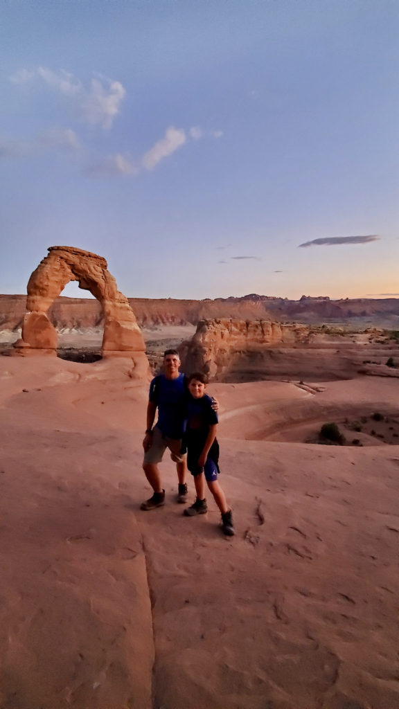
After that we decided to go to nearby Arches National Park for a sunset hike to Delicate Arch. There were SO many people there that we almost had enough to become a legal third political party. After the sun went down, we selected our candidates to run for president on behalf of the Archractins. (My vote was on the guy with hot rod and Hawaiian T-shirt). When the sun set we started to head back to the trail head with the Archractins, flashlights, and phone lights in hand.  We had a heated discussion about who would win in a battle; Godzilla or Megatron from Transformers? Let me know in the comments who would win? Team ‘Zilla!  We got back to our campsite to find the stars glimmering and wait what’s that? Where the star go? Dad what’s happening? Oh its going supernova, what’s that mean? WAIT WHAT THE STAR EXPLODED? GET TO COVER! *Slow mo dive into the camper open door and turn around to find my dad still sitting there* *In slow motion* *I reach out my hand gesturing to grab on to my hand but the giant explosion knocks me back* NOOOO!

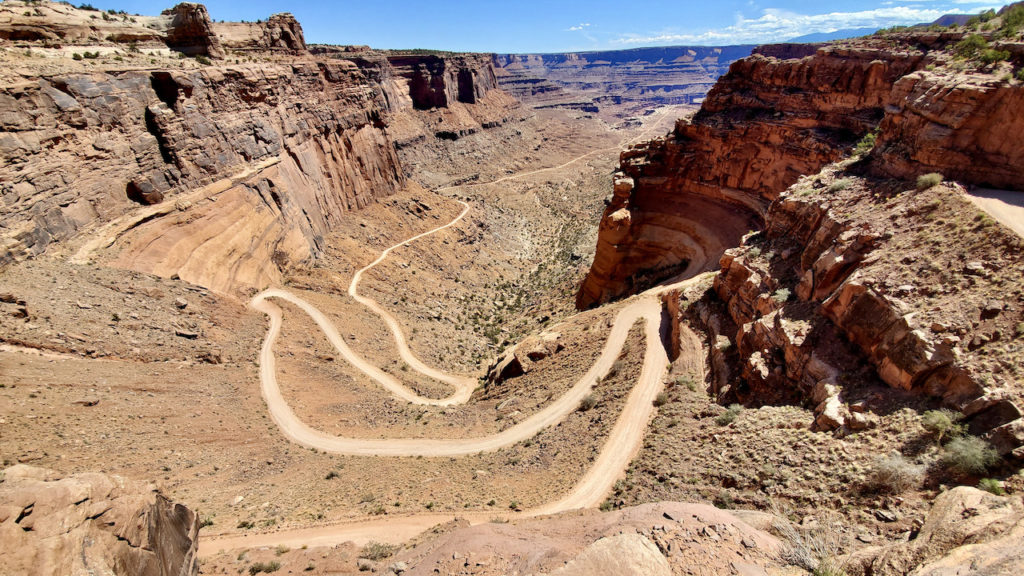
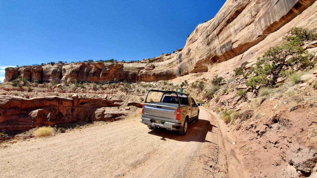
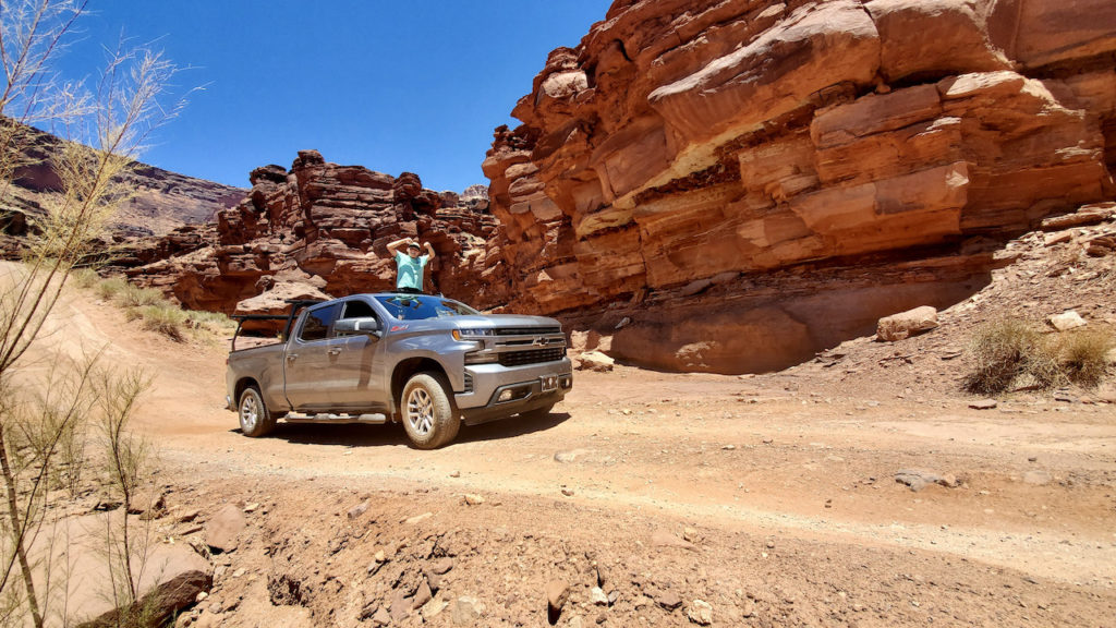
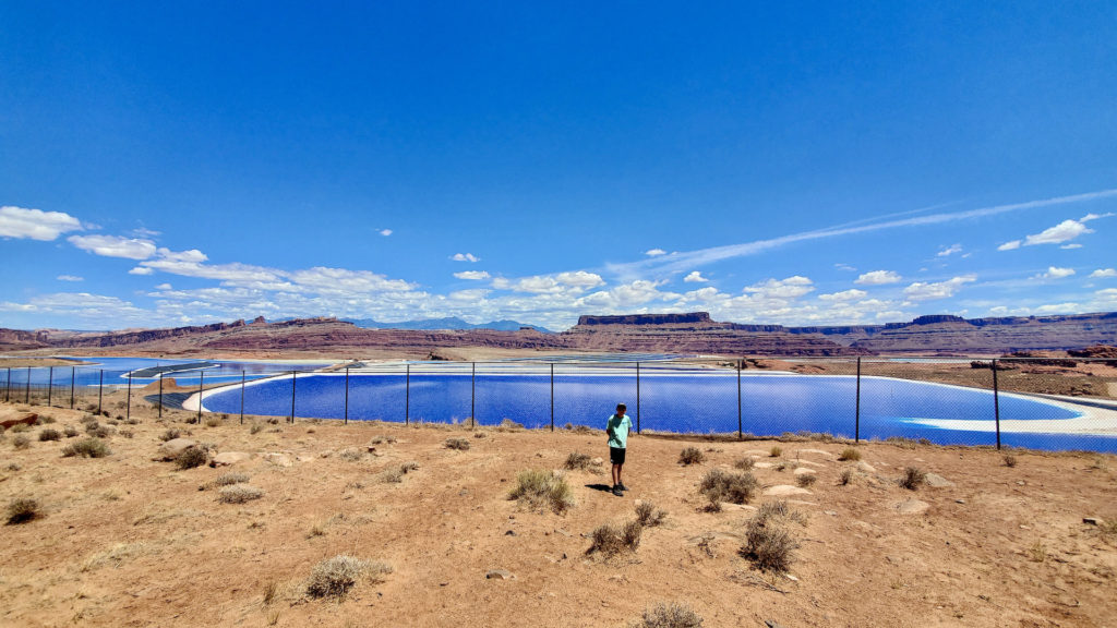
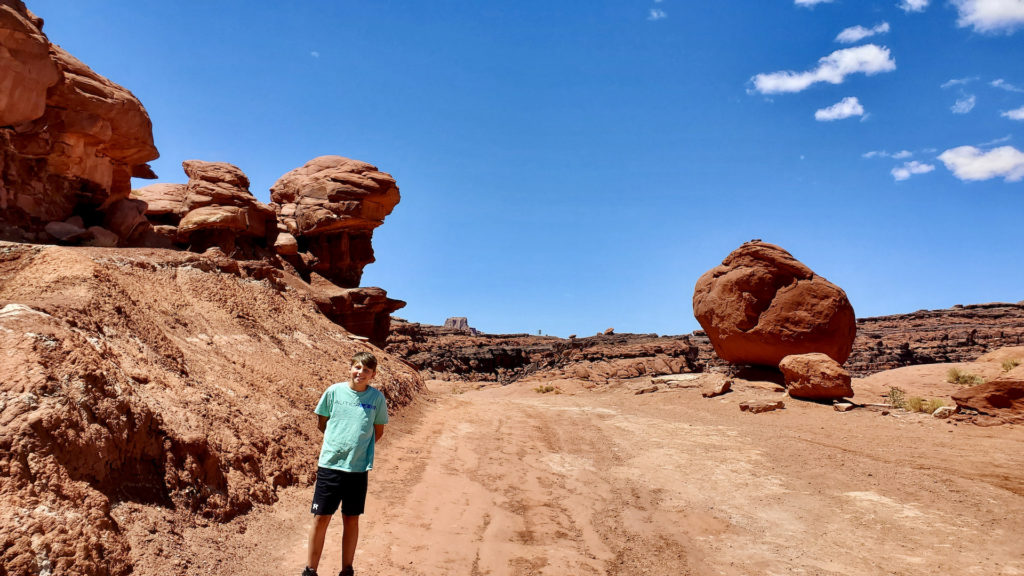
After the radiation settled after 400 million years I used my Jedi-like powers and using the force to raise my dad from the dead and we went to Canyon Lands National Park.  We waited in line about 60 million years and drove onto the Shafer trail which is a steep 4×4 trail. We started on the trail and saw a Jeep Trail Cat which is a really cool tricked out jeep with about 700 horsepower. I could go on and on about this jeep because it’s so cool and I just love it but I got to continue with the story, but you should look it up. Down the Shafer trail it was cliffs on either side and switch backs for miles.  SLIP the truck hurtles to the canyon floor, but unlike the horses I HAD taken skydive lessons! I pull my dad out jump out of the car jump out of the car, and pull the parachute! *I turn my back on the car and there’s an epic explosion in the background and epic 80’s 90’s special agent soundtrack starts playing* No, sadly this never happened. What actually happened is that I saw the cliff and clung and slumped into my seat and started repenting and praying to God saying “Please let me survive the Shafer trail!” After having about 12 inner anxiety/heart attacks we got to the bottom of the canyon and had a great time 4 wheeling the Shafer trail only to realize snails were going faster than we were. By the time we would get to our destination, our graves would waiting there for us. So we decided to go on the Potash Road.  It is called that because its next to a potash field and potash fields are fields salt that supply the demand of concrete-  *someone in the crowd* “shut up NERD!” Anyway we followed the trail all the way into Moab.

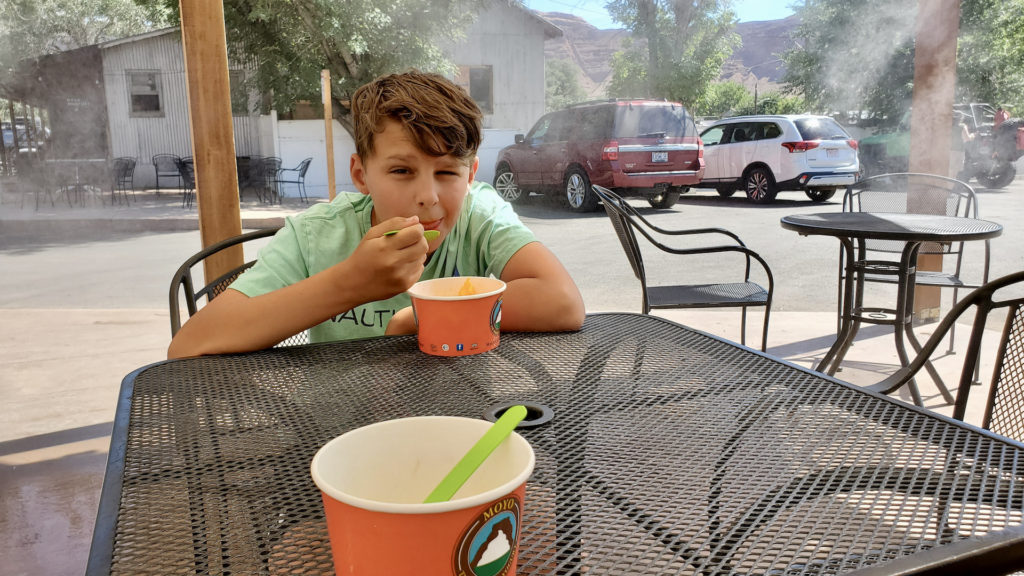
Moab is a special little desert town but growing quickly because it is close to Dead Horse Point State Park, Canyonlands National Park, and Arches National Park. There we went into town and stopped at a frozen yogurt place which was a new experience for me.  My Dad told me to fill up a cup with dairy free frozen yogurt which is a mistake, to put it lightly. After filling the cup so much and making so tall, I broke the frozen yogurt shop roof and took down a commercial airplane. After yogurt, we set off back toward Canyonlands to do a sunset hike to Aztec Butte, where we had a heated discussion about deer, headlights, the first jet planes, French resistance, bunny rabbits and 100’s of dollars, and snipers. Don’t ask. Then we went back to trailer, ate popcorn, looked at the stars and went to bed. That concludes our time in the area of Dead Horse Point State Park, thank you for coming to my Ted talk.
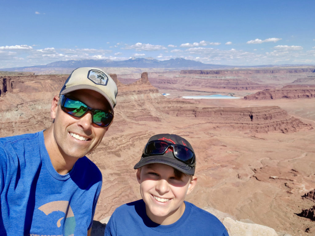
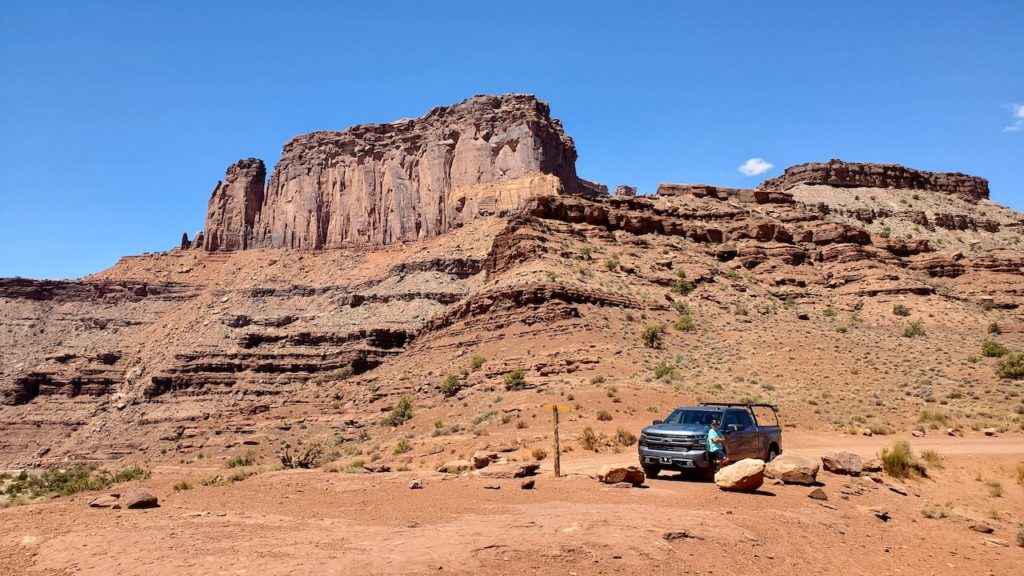
Overlook at Dead Horse Point State Park. The blue on the valley floor is the Potash evaporation pools. The La Sal mountains are in the distance.
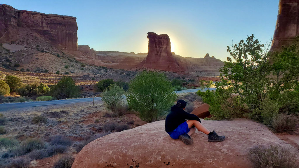
Eli at Courthouse Towers at sunset.
Sunset at Delicate Arch
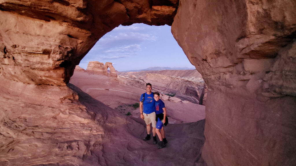
Matt and Eli at Delicate Arch, viewed through Twisted Doughnut Arch
Shafer trail into the canyon.
Eli on the Shafer trail
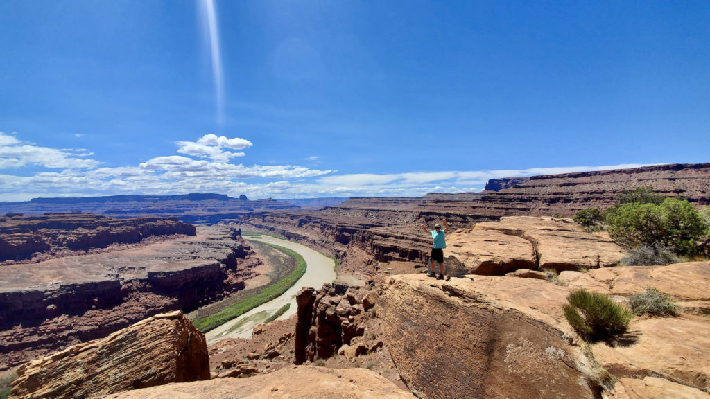
Gooseneck overlook off the white rim trail in Canyonlands
Eli on the Shafer trail in Canyonlands
Eli 4-wheeling on the Potash trail
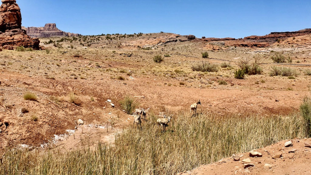
Big horn sheep on the Potash Road
Potash evaporation ponds. The color is due to blue dye in the saline water.
Eli and Elvis rock on Potash Road
Eli eating too much frozen yogurt in Moab.
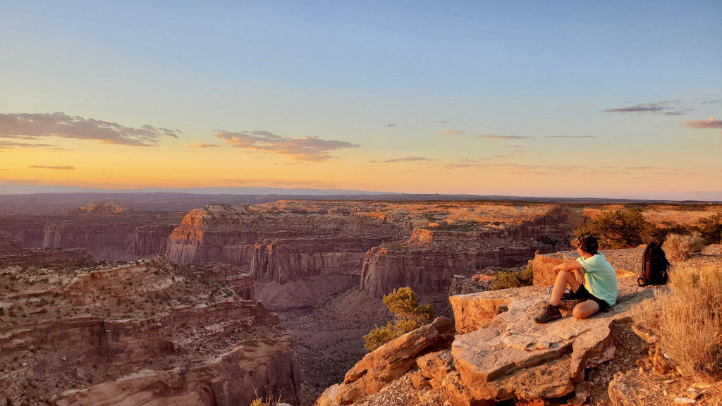
Eli on Aztec Butte checking out the Green River at sunset.

Redemption at The Black Canyon of the Gunnison National Park

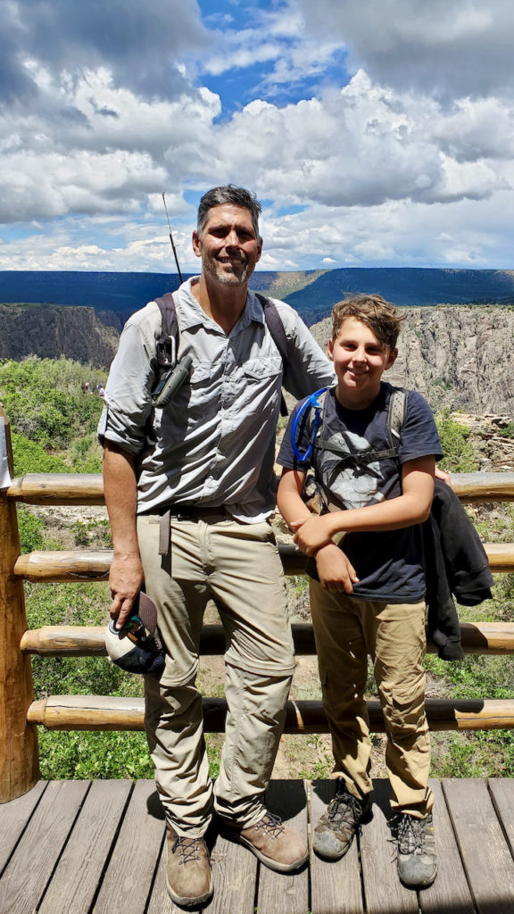
A few years ago, our family visited the Black Canyon, carved by the Gunnison River. The walls are vertical, and the canyon is deep. Because it is so steep, most activates in the park are easy strolls to the edge of the canyon for breathtaking views. The popular Painted Wall is a 2300 ft vertical face of crystalline veined rock towering above the river. Trips into the canyon itself can be done along three routes (not trails) from the south rim, and three routes from the north rim. These all require a wilderness permit, which are limited to 15 people per day, per route. The rangers describe these routes as some of the toughest hiking in the national park system.

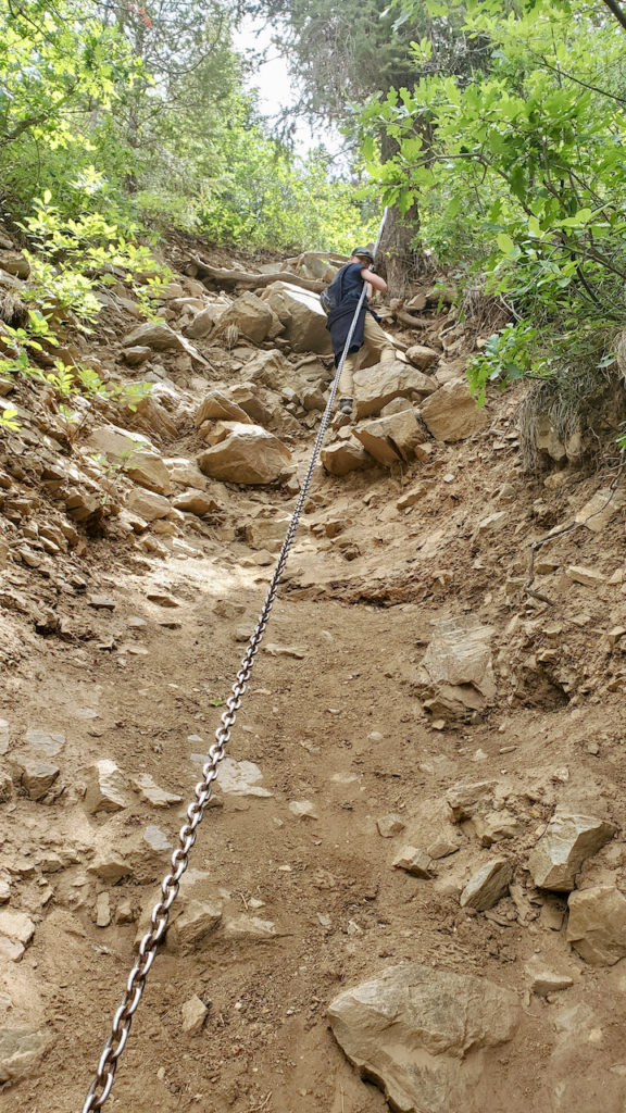
The last time we visited, our family attempted the 1.5 mile Gunnison Route to the bottom of the canyon. This  route drops 1800 ft, and, at one point, hikers need to lower themselves down a 100 ft chain to avoid tumbling down the slope. Unfortunately, we started too late in the day to complete the trip. The heat and altitude, combined with the intensity of the climb made us turn around early. You can read more about that trip here.

Since we were defeated by the Gunnison route, I’ve always wanted to come back and complete the trail. This was our chance! Knowing what we were in for, we started training early. Over the school year, Eli and I embarked on the “Gunnison Program”, which involved a weekly combination of running and burpees. We were not going to be defeated again! We also brought gloves so we wouldn’t cut our hands on the rocks, and I invested in a good GPS. It is so easy to get lost on the canyon walls!

Permits for this hike are given out at 4:30 pm the preceding day at the south rim visitors center. We learned that hikers were lining up as early as 1:00 pm for a chance to get a permit! Not wanting to miss our opportunity, we lined up at 12:30 pm on the back deck of the visitor center. It wasn’t so bad waiting on the back deck. We met a lot of interesting people, and had great views of the canyon. We could hear thunder rolling down the canyon from passing thunderstorms. For our patience, we were rewarded with permits to head down the Gunnison Route the following morning.

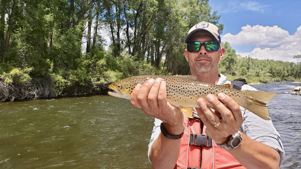
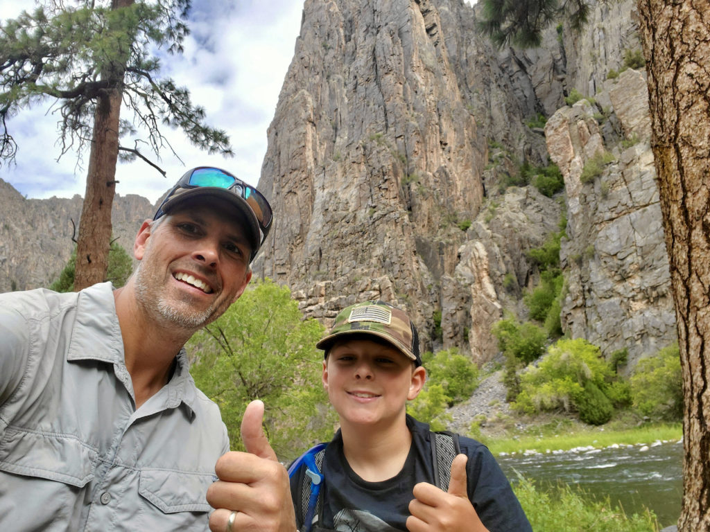
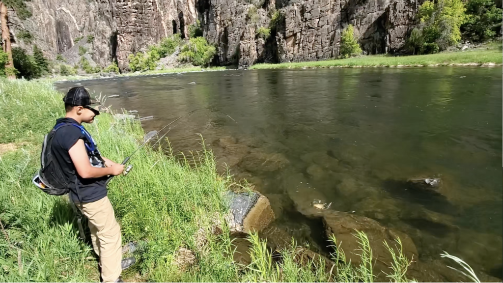
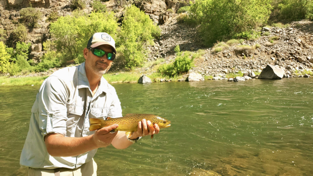
We hit the trail at 7:00 am. The air was cool, but the rocks were slick from the overnight rain, which made for a slow, careful descent. We knew we had limited time. Afternoons were either blazing hot, or had intense thunderstorms. Either of these conditions would make a the return ascent hazardous. Because the trail was so slippery, we spent a lot of our time in a crouch position, sliding down the route on our boots. We lowered ourselves on the chain, and continued down the steep slope of scree rock that had broken off the canyon walls. It took us 2 hours to descend to the bottom of the canyon. We were rewarded with stunning views at the bottom of the canyon. The walls are so tall, and so close together that you feel like a tiny insect in the vast crevice. It wasn’t long before we noticed trout surfacing in a large pool in the river. This stretch of the river is considered “Gold Medal” trout fishing. In only 30 minutes, we landed 7 brown trout up to 16 in. We could have fished longer, but we knew we had a tough climb ahead of us.

The best investment we made was the GPS. It all looks the same going up, and staying on the route is more difficult than expected. We could see where many travelers made wrong turns, and likely wasted valuable time. For extra safety, we partnered with two other climbers so we could watch out for each other as we made the steep ascent. The afternoon heat was interrupted with passing storm clouds, but luckily we stayed dry. We made it back to the visitors center with a sense of redemption!

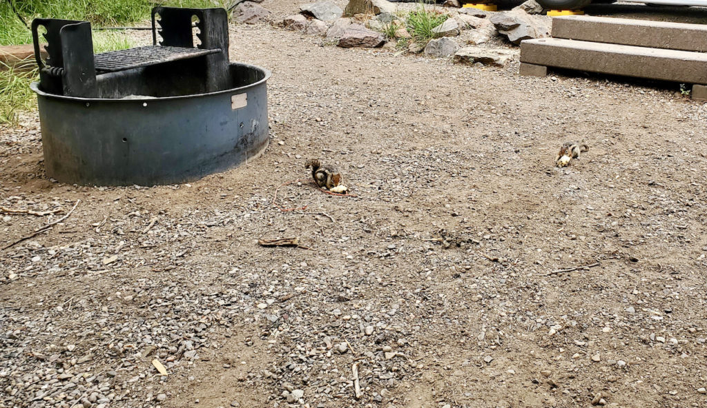
That afternoon, we were so wiped out that all we could manage was watching 5 chipmunks (Carl, Kevin, Louis, Carlos, Timmy) squabble over crumbs in our campsite. Carl and Kevin were the fat bullies of the bunch, and chased the other three away. We could tell that Carl and Kevin had a mutual respect for each other as they traded chipmunk chirps and growls while they ate. The lesson seemed to be that if you are big and loud, you get your way in chipmunk land. This simple chipmunk behavior reminded us that this also seems to apply to humans.

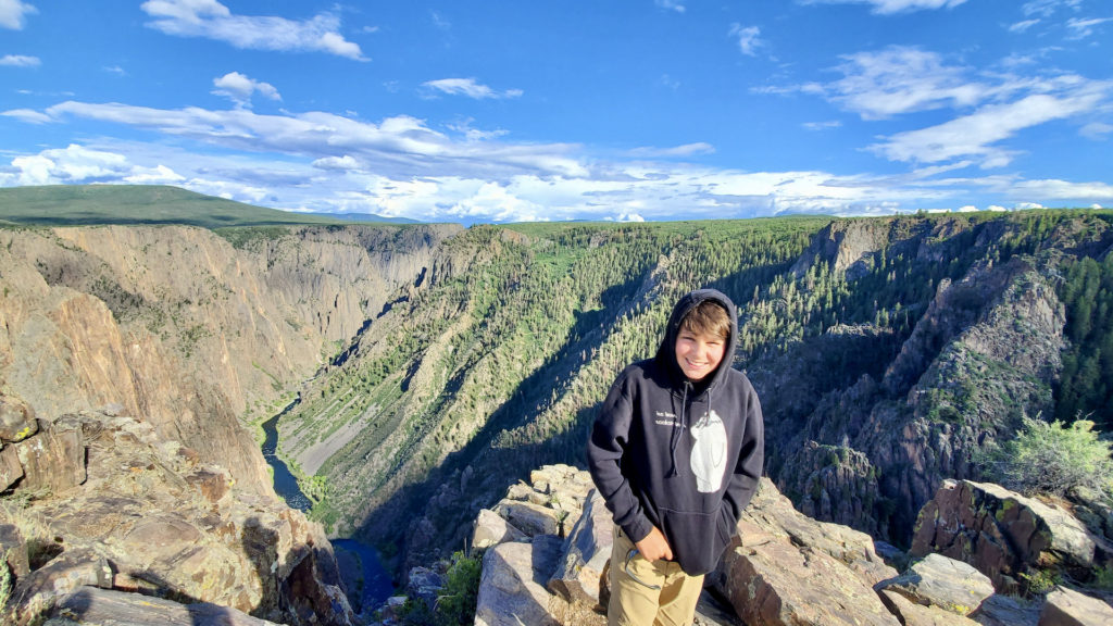
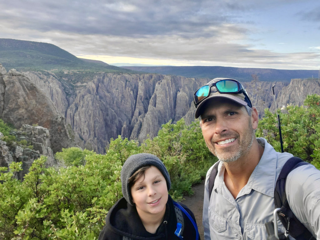
Eli and the Black Canyon
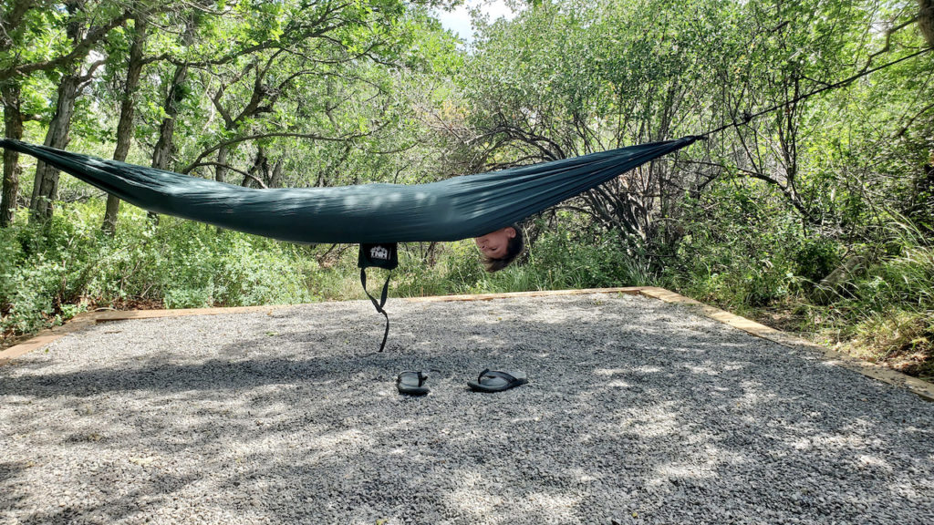
Eli using hammock therapy to prepare for the descent into the canyon
Getting ready to descend into the canyon
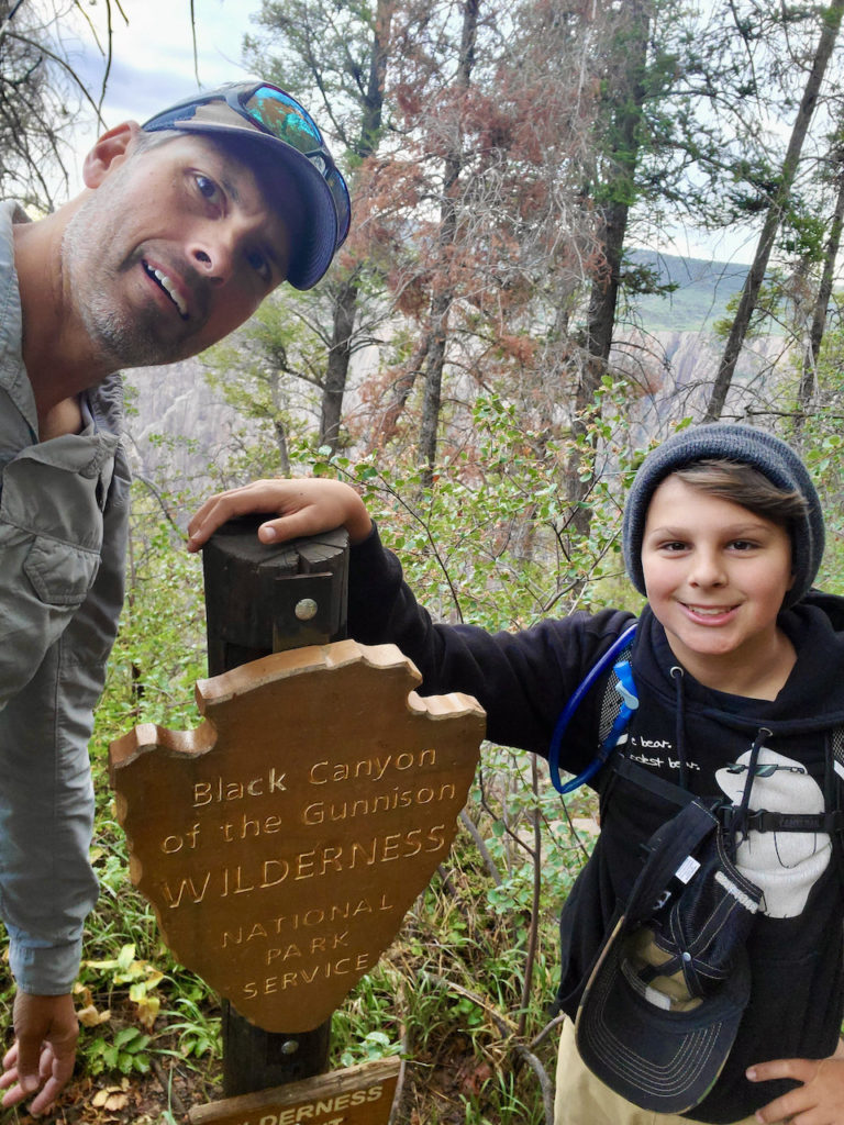
Getting ready to cross into the wilderness
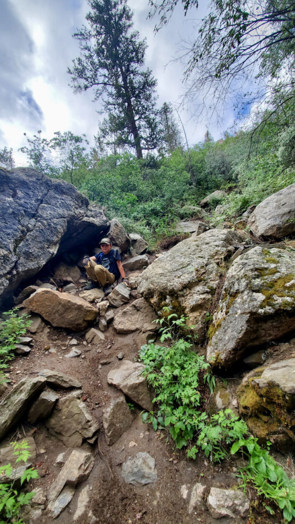
Eli showing off the “sliding on boots” technique we needed to go down the wet trail.
We made it to the bottom!
Eli landing nice brown trout at the bottom of the Black Canyon
Dad catches nice brown trout at the bottom of the canyon. There were a lot of fish swimming around!
Eli pulling himself up the chain back to the rim
We made it back to the top. We were wiped out!!
Carl and Kevin eat and growl at each other in our campground. They had chased the other chipmunks away with their bravado.

Fish the Gunnison River!

The first time we visited the Gunnison region, I knew I wanted to come back to fish the Gunnison River. The main fork of the Gunnison starts in Almont CO, where the Taylor and East River meet, and continues west several hundred miles into the Curecantai national recreation area, Black Canyon of the Gunnison National Park, and flows into the Colorado River in Grand Junction.

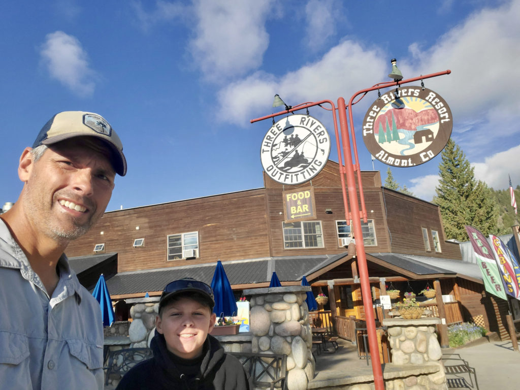
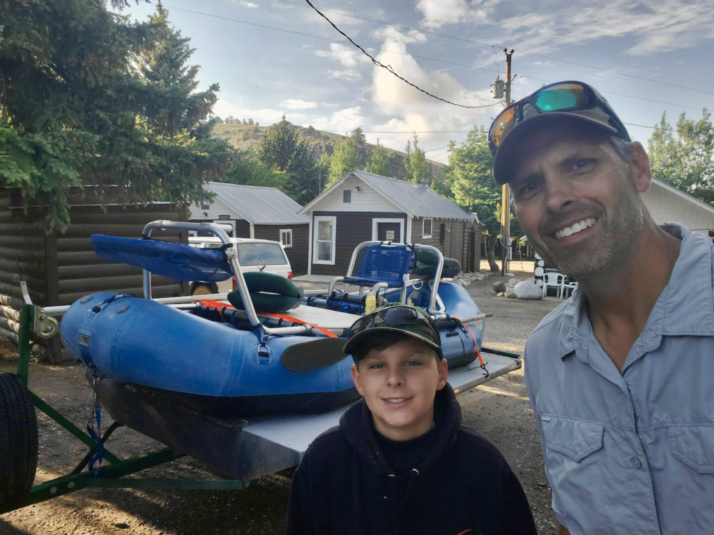
The We booked a float fishing trip on the Gunnison through Three Rivers Outfitters in Almont CO, just a few miles north of the town of Gunnison. TRO offers fishing, rafting, and other adventure trips in the region. If you are looking for a great place to hang out with friends and family, TRO is a great base-camp for local activates. The facilities were nice, and the staff were friendly and professional. TRO also offers trailer spots with hook-ups for a reasonable price. After we got set up, we headed north to Crested Butte, a quaint ski/snowboard hamlet nestled below Mt. Crested Butte. There, we met David Chu for dinner. David is an old friend, who now works for Los Alamos National Laboratory. He is running all kinds of atmospheric experiments for the Department of Energy in the remote mountains in the region.

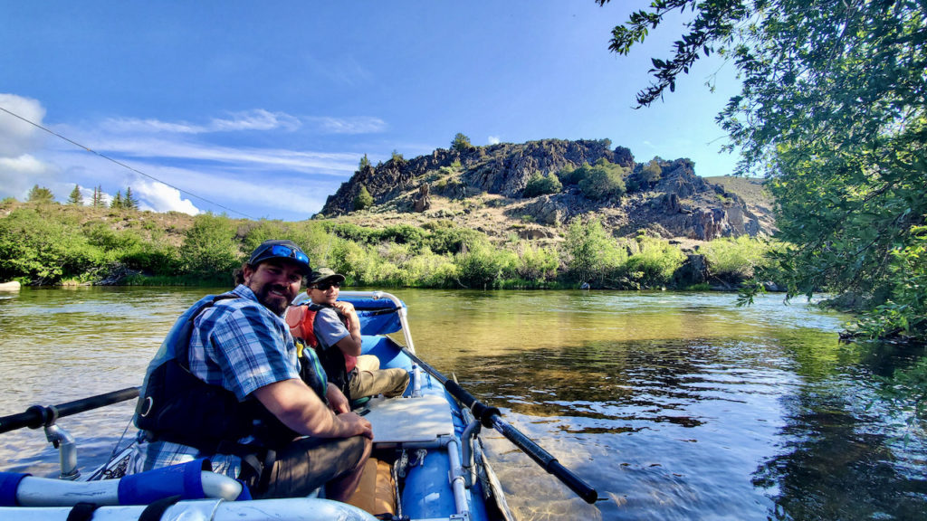
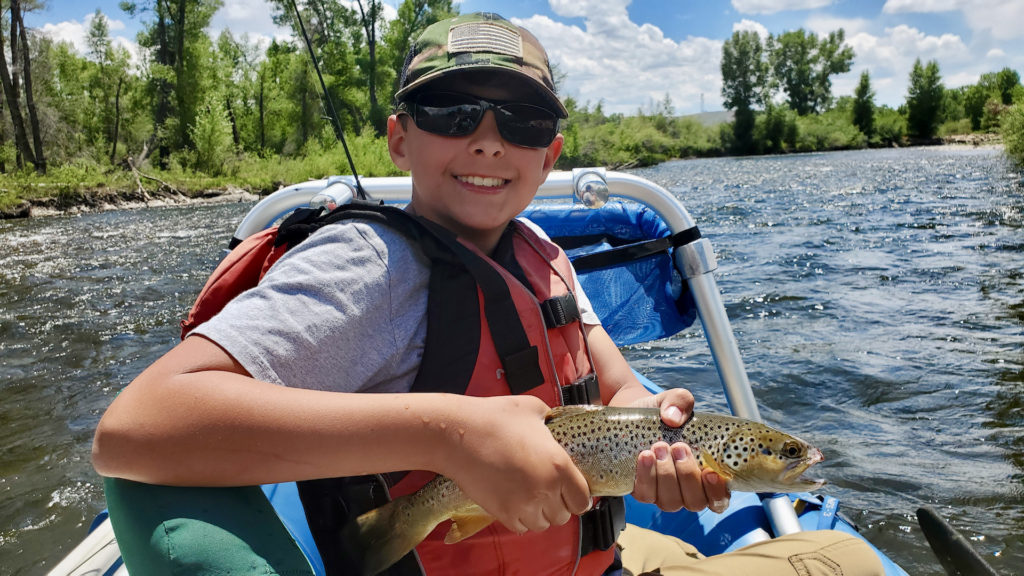
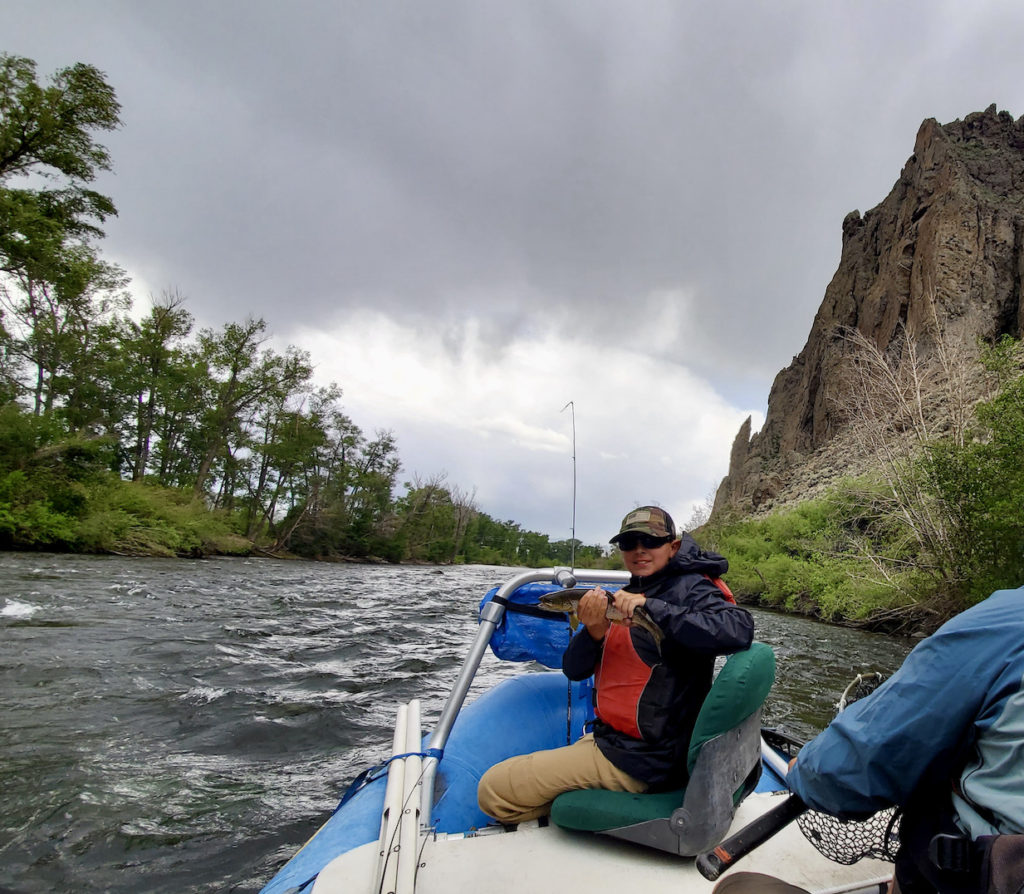
The following morning, It was really nice to stumble out of the campsite into a boat and head out for a 15 mile float down the river. Our guide, Skyler was excellent! He had been fishing the river since he was a kid, and he knew every hole and riffle. If you casted where and when he said, you usually got a fish. I think Eli and I ended the trip with about 30 brown and rainbow trout for our efforts. Most fish were 12-14 inches, which made for a nice fight on light tackle while floating down the river. The combination of river rafting and fishing made for a really fun day. Eli said it was the most fun he ever had fishing!  We got off the river just as a strong thunderstorm hit the region. We were glad to be off the water with all the lightning around! If you are looking for a great float fishing trip, check out TRO.

Three Rivers Outfitters, check them out!
We met the intrepid David Chu in Crested Butte for a great dinner.
Our ride down the Gunnison
Just getting started on the Gunnison River. Skyler (our guide) was excellent!
Eli with a nice brown early in the float
Eli with a nice brown trout as the rain starts to move in.
Yes, Dad caught fish too

Ride the Dunes at Great Sand Dunes National Park

Nestled in southern Colorado are the largest sand dunes in North America. Surrounding the sand dunes are the Sangre de Cristo and San Juan Mountains, which are the remnants of an ancient volcanic crater. The crater eventually held ancient lake Alamosa, which was about the size of the state of Connecticut. Overtime, the lake dried, leaving sand deposits on the floor of what is now San Luis Valley.  The balance of steady southwesterly winds, and storm driven northeasterly winds swept the sands off the dry lake bed, and deposited them in dunes as high as 750 ft above the valley floor, which became the Great Sand Dunes.

At 8000 ft elevation, Great Sand Dunes National Park visitors experience a landscape of extremes. Temperatures on the dunes change rapidly, rising quickly as the sun heats the dune surfaces far above the surrounding air temperature. During the day, hot winds from the valley, and cool winds from the mountains move the sands unpredictably. The dune environment is harsh and dry, while the mountains around provide a dense forest for wildlife. These contrasts give visitors a unique national park experience.

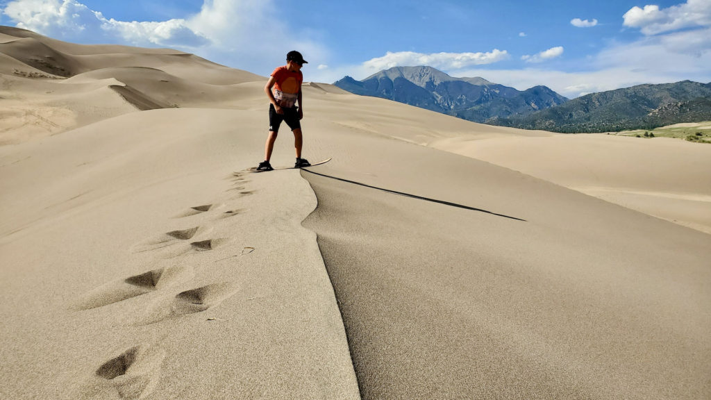
On our way into GSDNP, we were greeted by sweeping views of Mt Blanc, one of Colorado’s “fourteeners” (peaks taller than 14,000 ft). In the distance, the sand dunes crept over the horizon until they dominated the landscape. This really got us excited for our main activity…sandboarding. The scale of these dunes offer visitors the chance to grab a sand board (or sled) and let these dunes, thousands of years in the making, give you the ride of a lifetime. We arrived at Piñon flats campground on a breezy evening. Surprisingly, the wind was unable to knock down the muscular mosquitos of southern Colorado. Even though much of the landscape in the campground is dry scrub plants, nearby Medano Creek is enough to keep these pests hungry, and campers inside their tents. The only real escape was to head to the dune fields. The local wildlife seemed to also know this, as the dunes were crisscrossed with deer, elk and bobcat tracks.

The following morning, we waxed our sand board (and sled) and hit the dunes! After a few spills, we got it figured out. The cooler the sand, the more effective the wax was in reducing the friction between the sand and the board. As the sand heated up, the wax melted off the board and made for shorter rides.

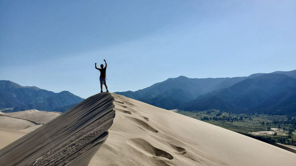
The next two days were pretty much dedicated to sand boarding. Those things can really go! Blowing sand, combined with the downhill velocity of the sand board create the experience of full body exfoliation. I’m definitely smoother. On our final full day, we summitted the tallest dune we could see. The hike wasn’t a far distance (2 miles one way), but it was walking up sand the whole way. The final 300 yards was a hands and feet scramble up very loose sand. It was slow going, but the view from the top of the dunes was outstanding!

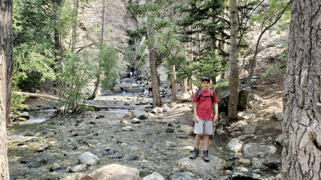
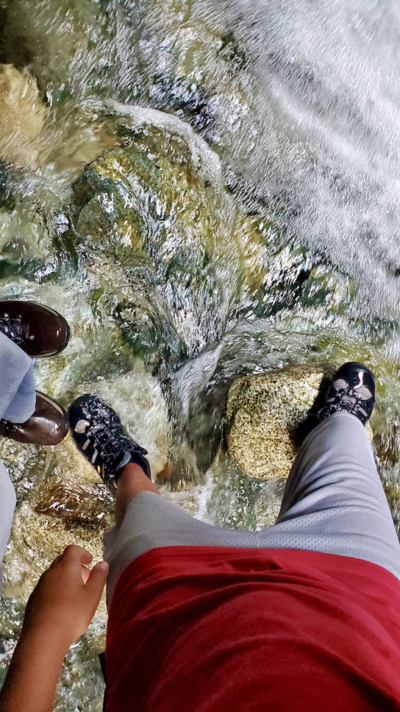
In the hot afternoons, we took advantage of the 4WD trail that leads from the campground, along the dunes. We were rewarded with awesome views, some great sand boarding opportunities away from the crowds, and more angry mosquitos. Just outside the park, we found that the stream fording hike to Zapata falls was refreshing! The icy waters from the towering peaks around us cut their way through a narrow slot canyon. The only way to see the falls is to hike through the icy cold creek, into the rock capsule that contains the 25 ft falls. It was a really great experience, and a nice relief from the heat!

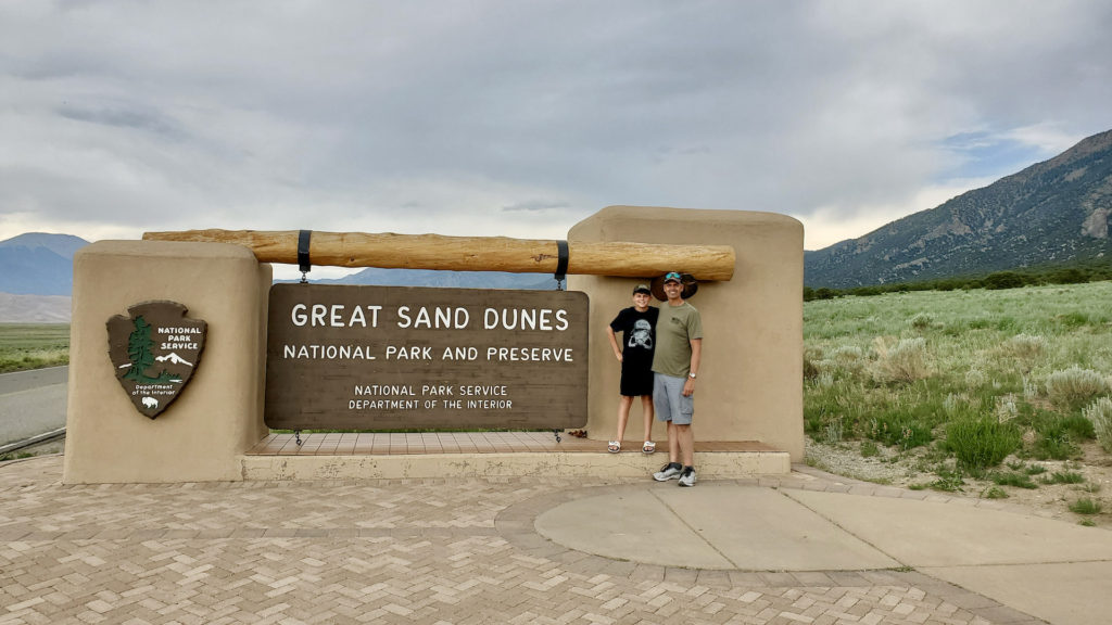
Getting started at Great Sand Dunes NP
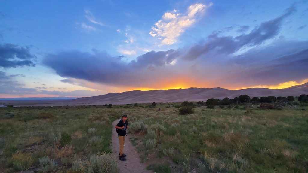
Sunset at Great Sand Dunes
Eli getting ready to ride!
Eli bombing down a dune on a moonlit evening
Eli on top of the tall dunes!
Matt and Eli conquer a dune hike.
Hiking Zapata Creek to the falls
We made it to Zapata Falls!
Walking in Zapata Creek at the Falls
4WD trail ride along the dunes