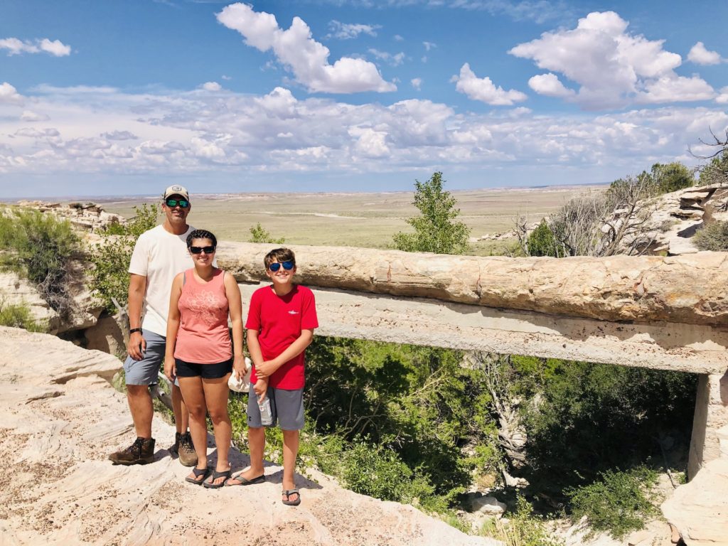
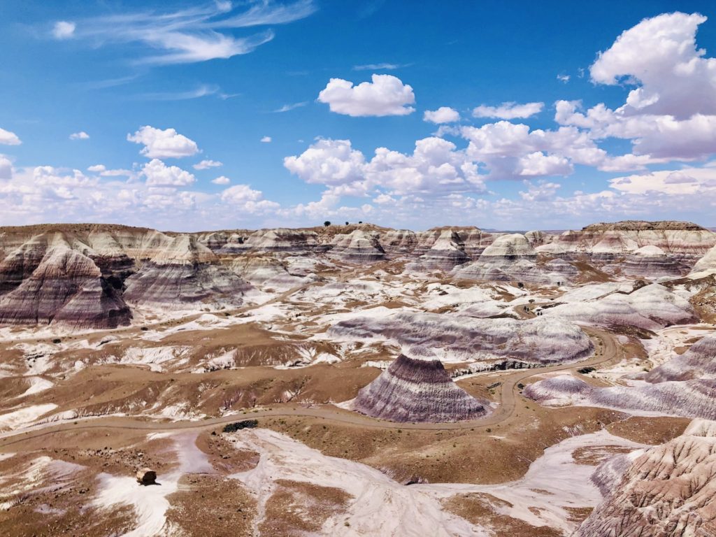
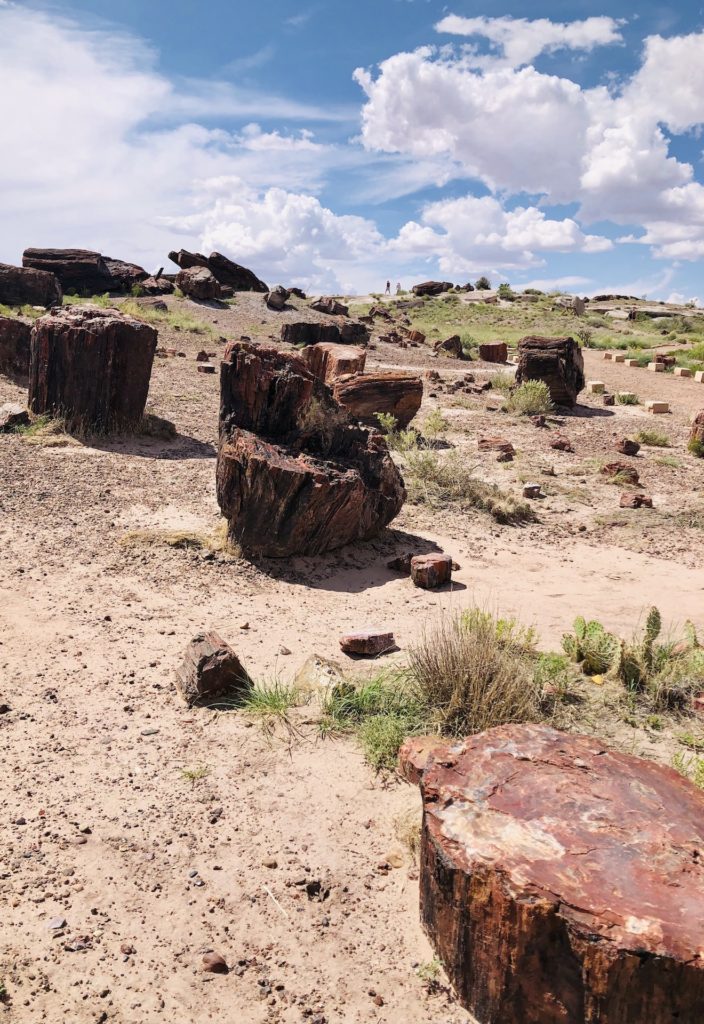
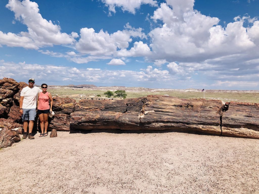
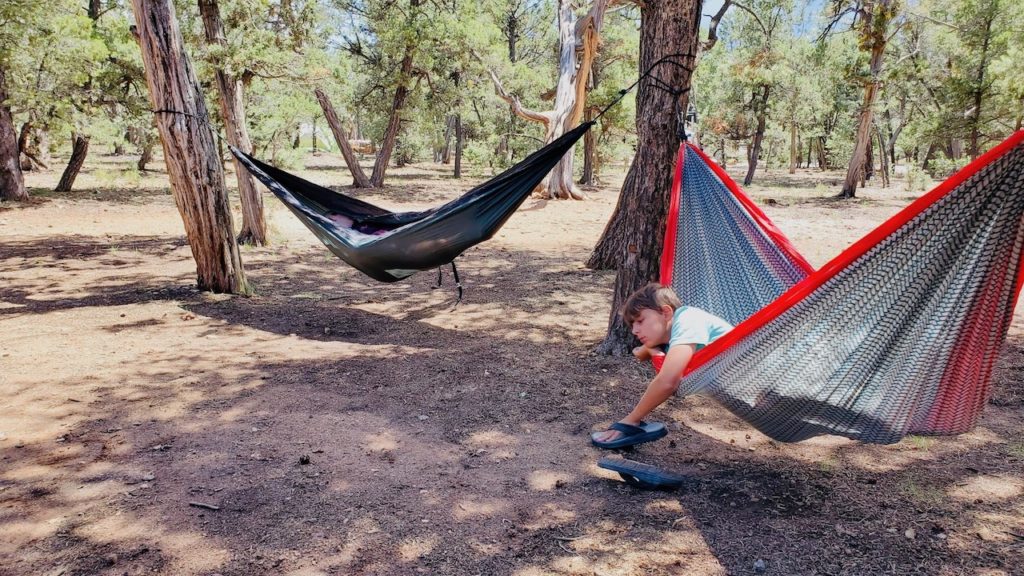
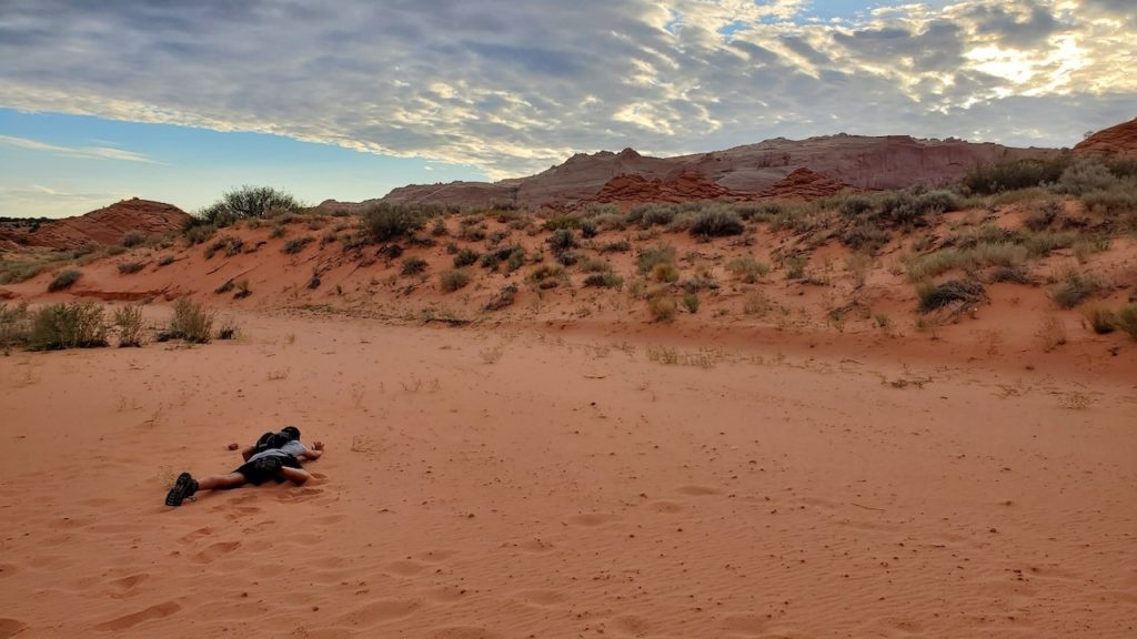
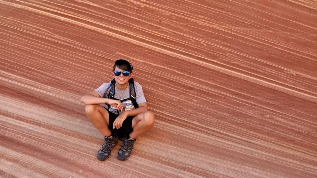
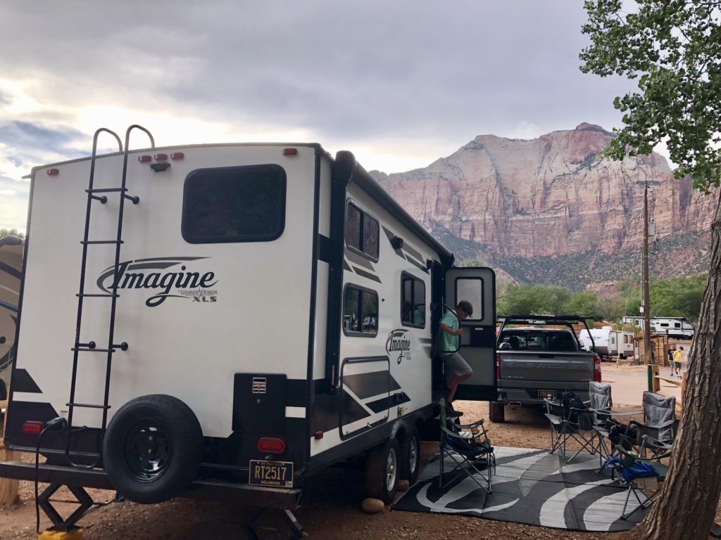
Blog post by: Matt
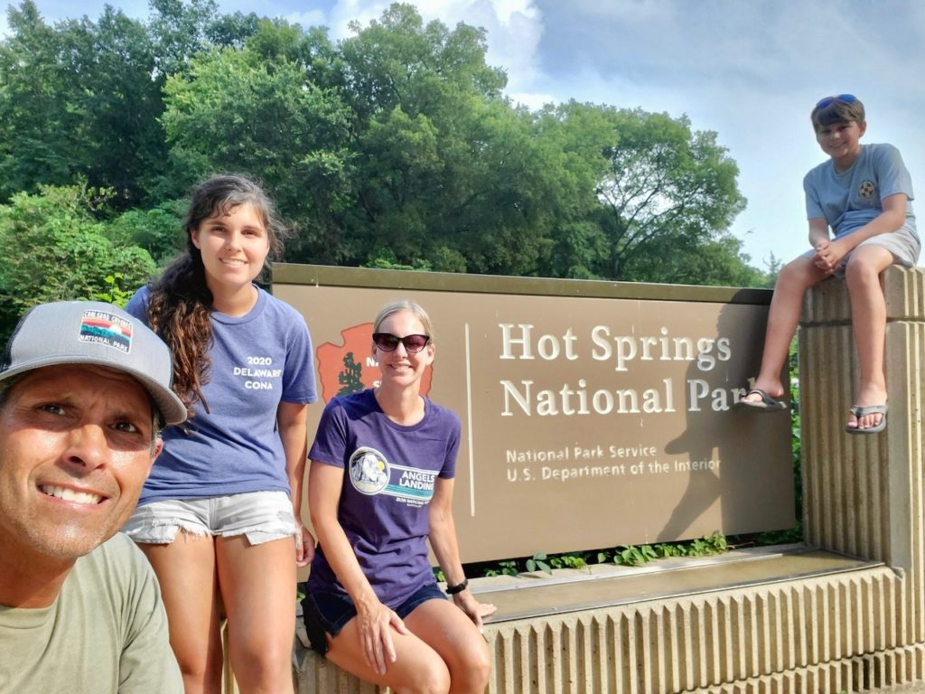
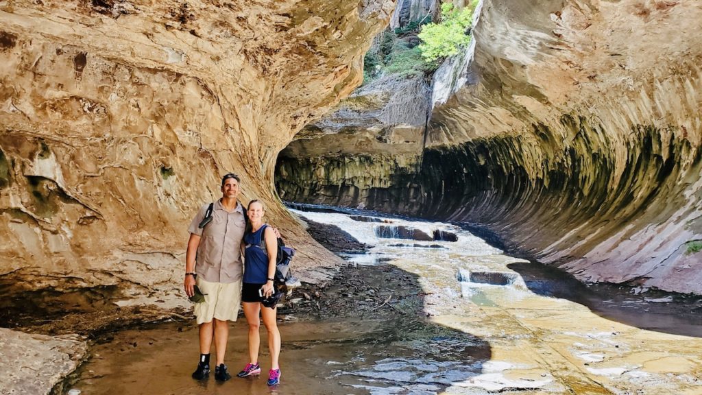
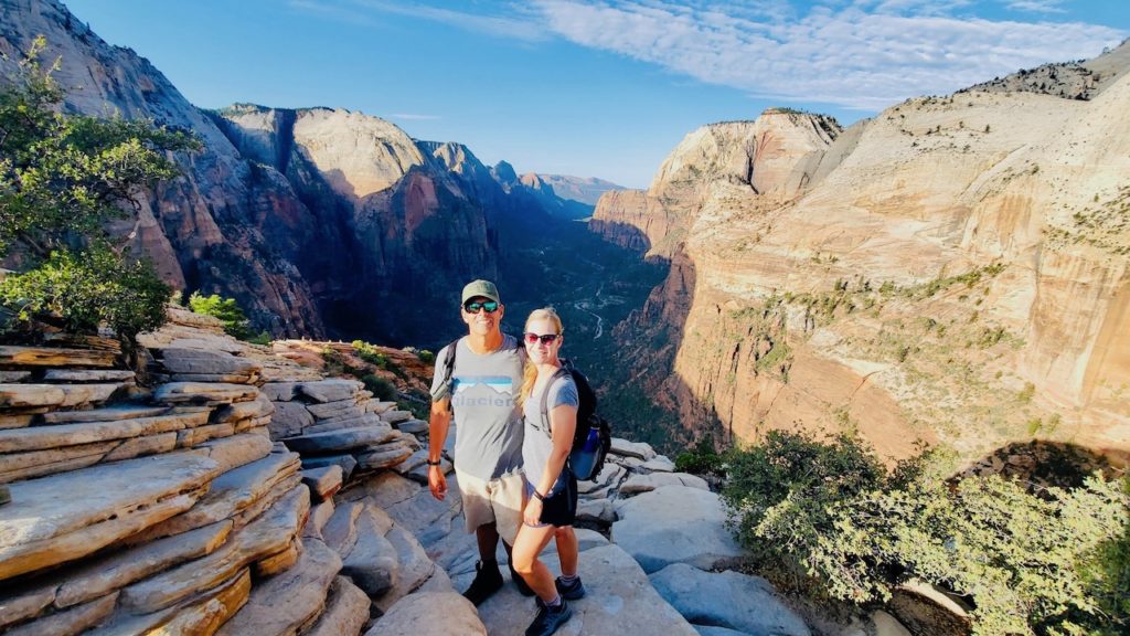
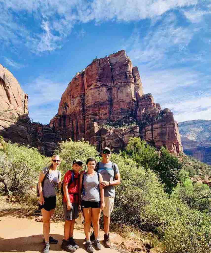
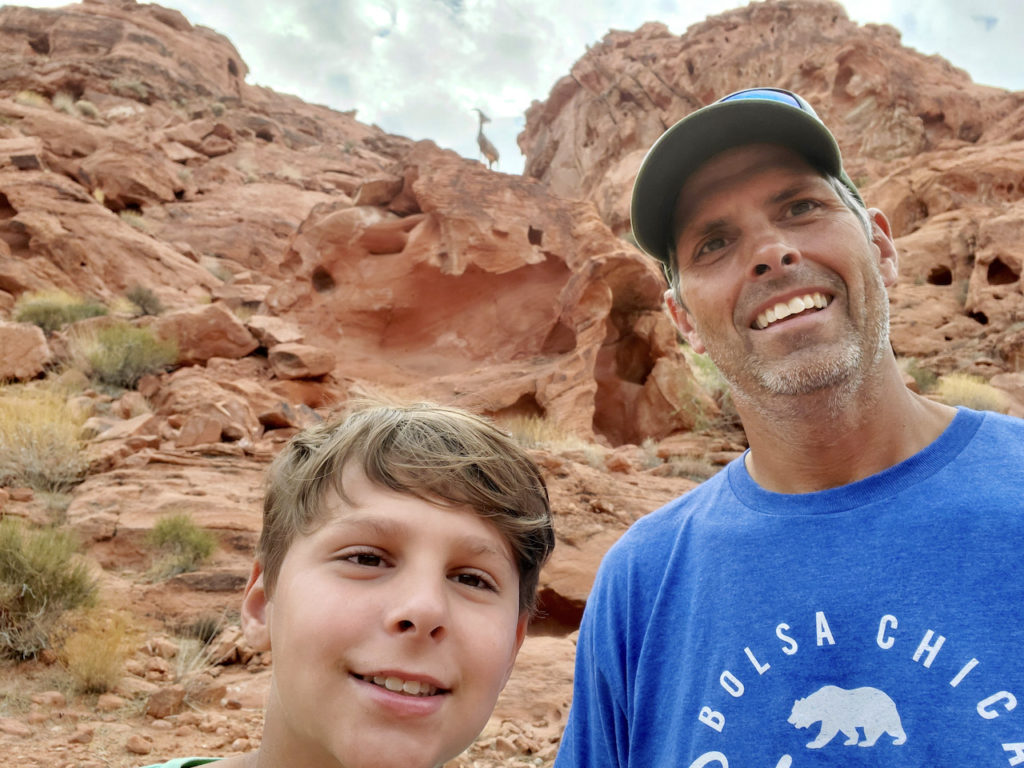
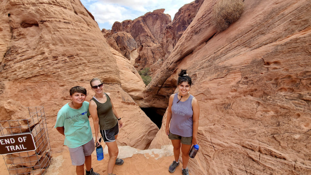
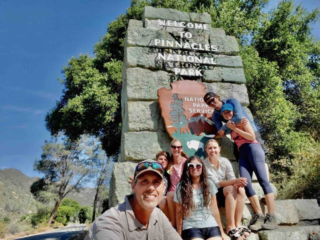
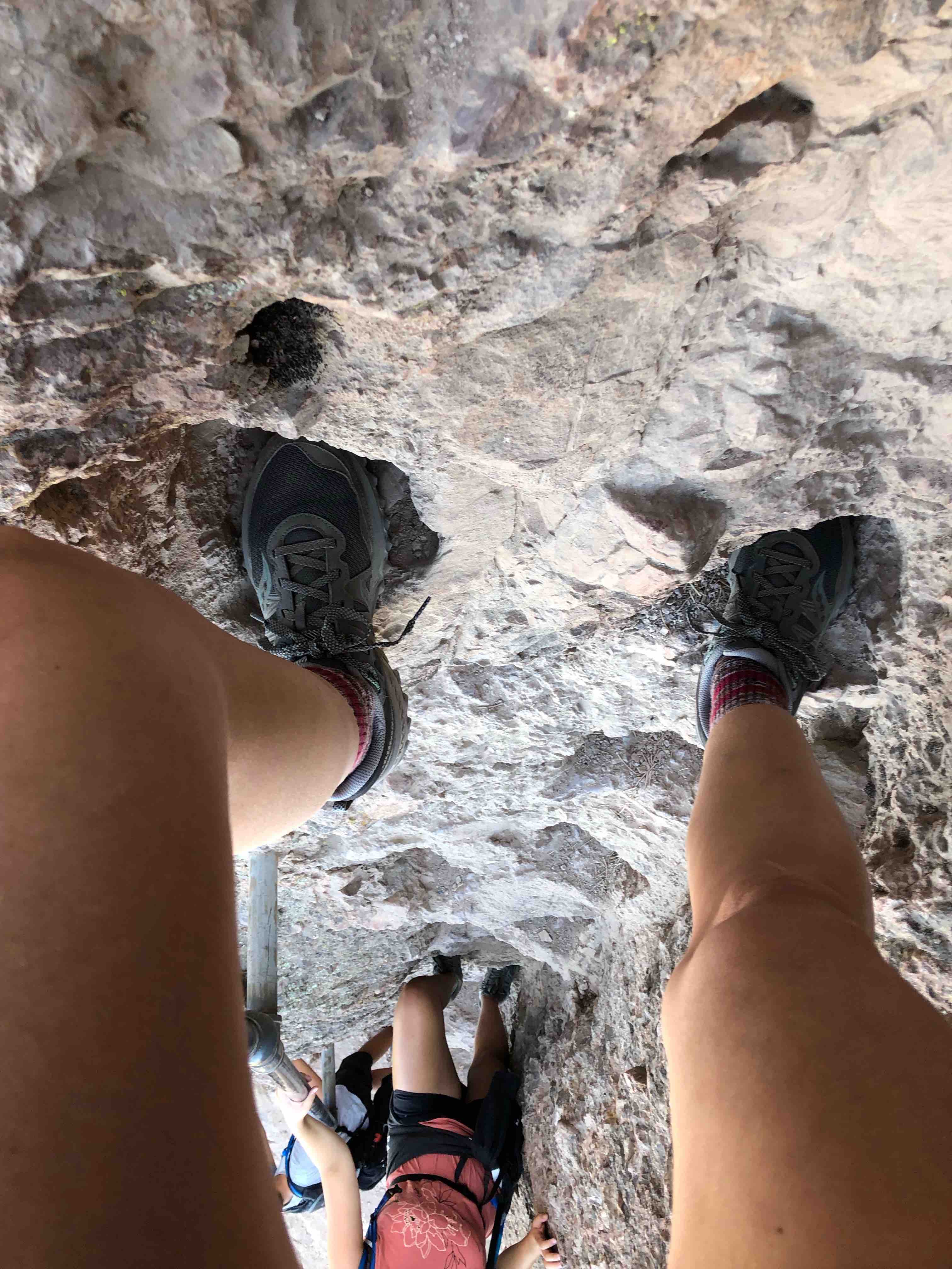
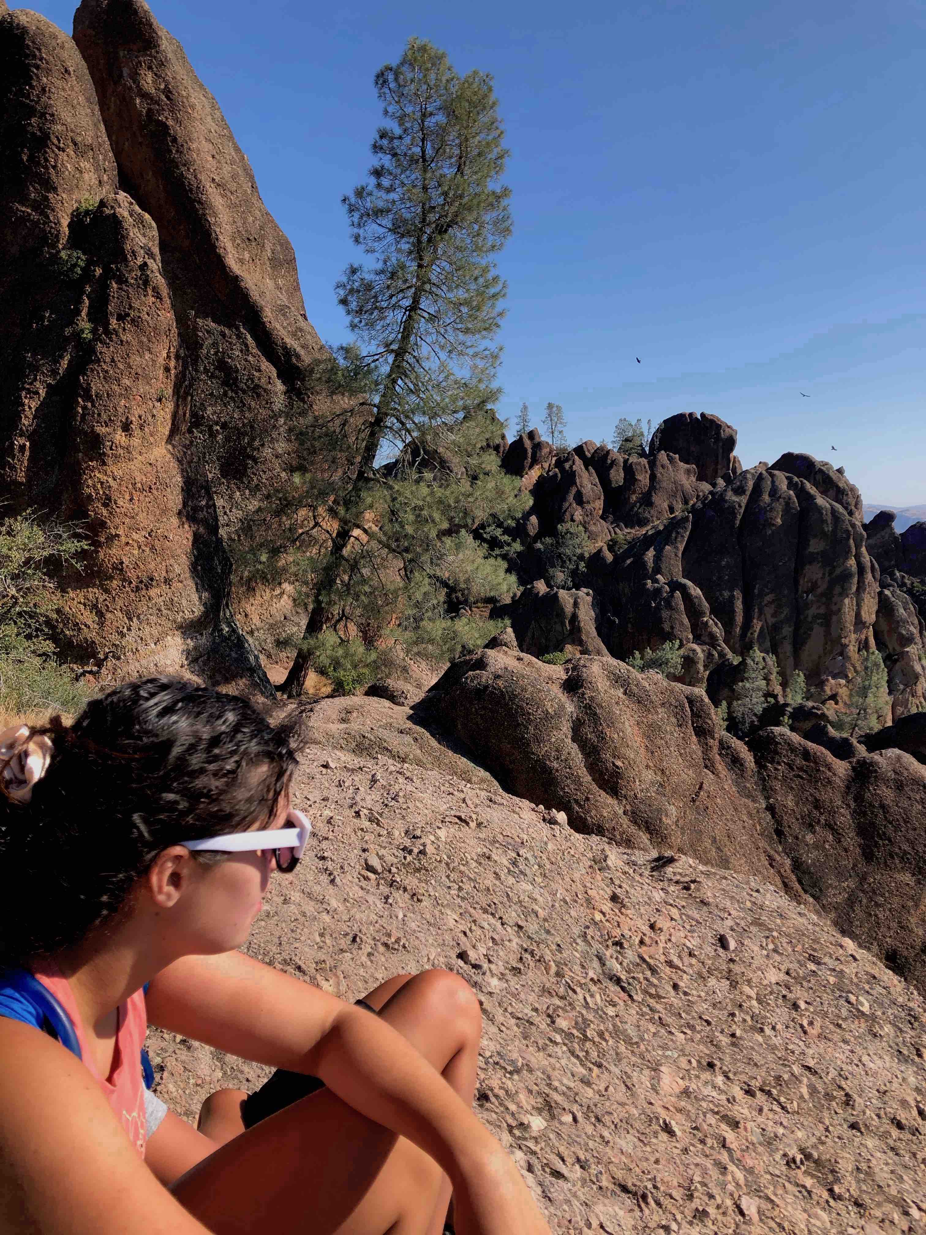
Five years ago, Samantha and I passed this park on our way to California and ever since, I wondered if it was worth visiting and was curious as to its history. On this trip, it was our final national park and it was…interesting. We sandwiched this park between two sets of great friends, the Petersons in Texas and Ken and Dayna in Tennessee. They were fabulous hosts and it was such a treat to see them and catch up.
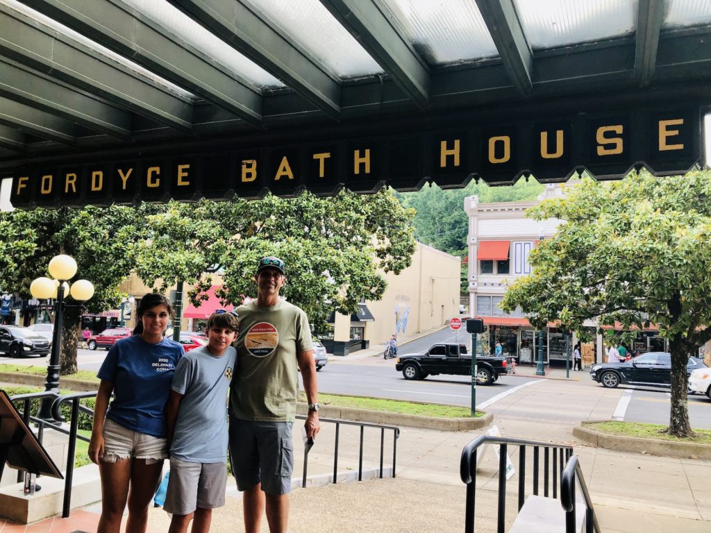
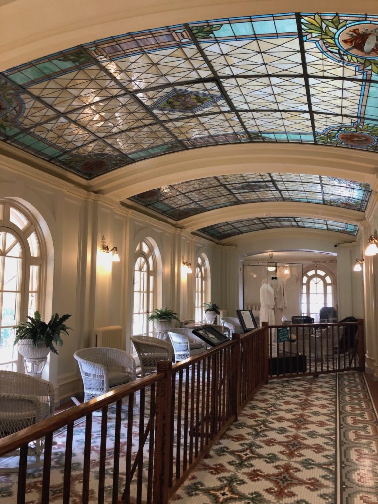
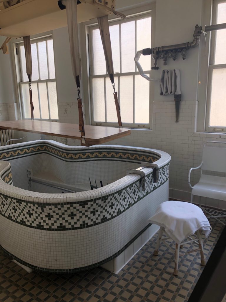
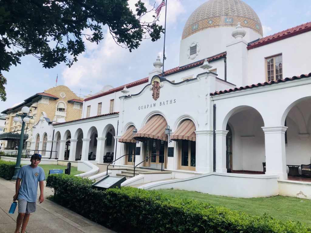
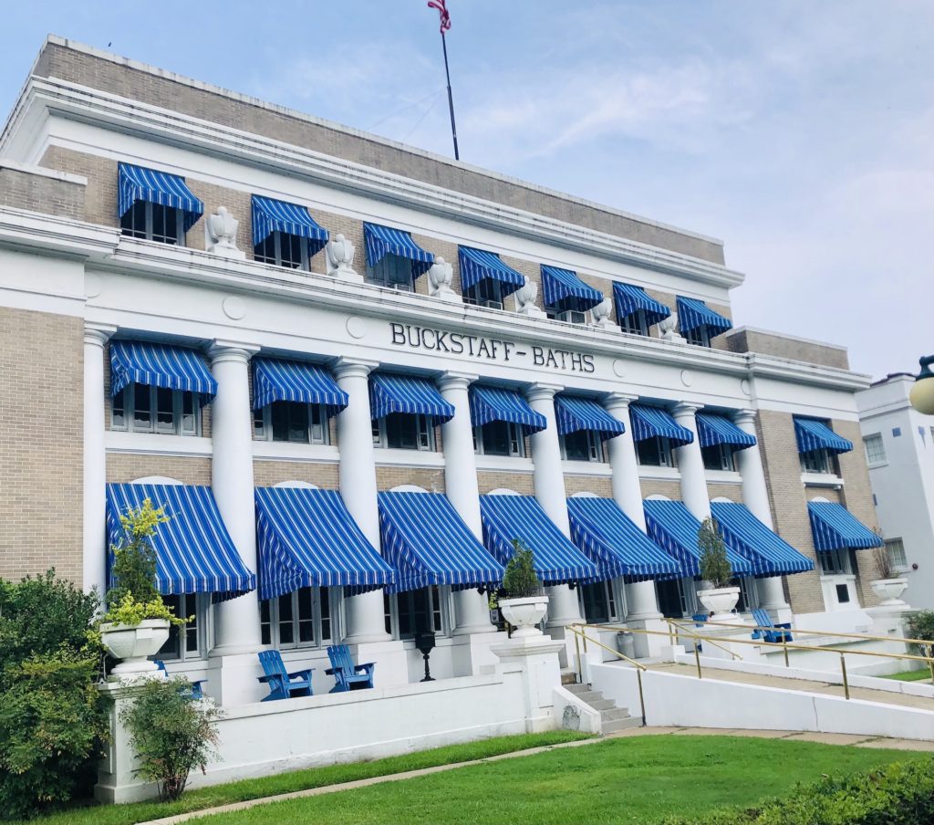
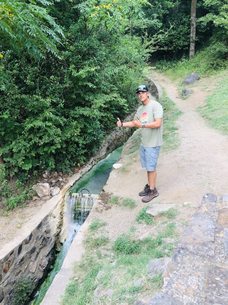
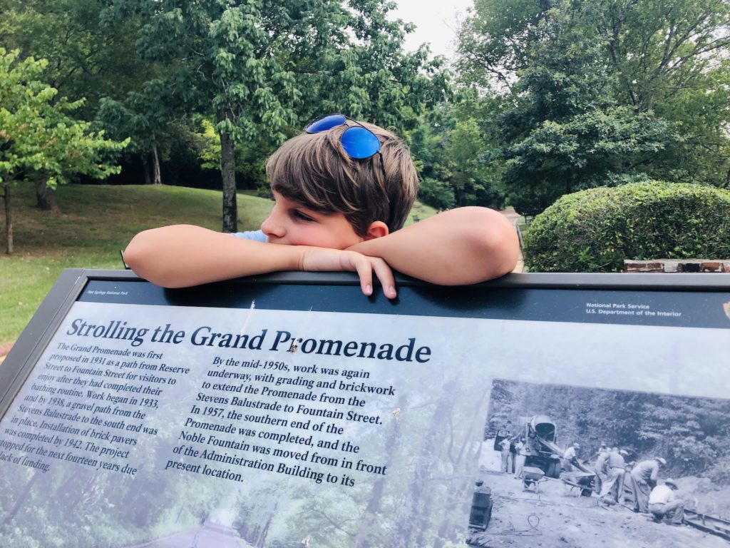
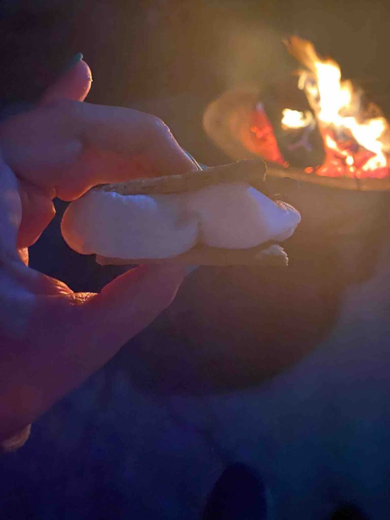
The Hot Springs national reserve predates the National Park system and the formation of Arkansas as a state, and its uniqueness has been recognized since before the Civil War. In contrast to most national parks, this one does not focus so much on the beauty of nature but on the historical significance of the hot springs. Korin warned the kids that this was a national park in an urban setting and that the park focused on the history and architecture of the hot spring bathhouses, instead of the landscape like most national parks. We first toured the Fordyce bathhouse (considered to be the most opulent of the bath houses during its heyday) which is a museum and visitor center about an hour before it closed. We learned that some explorers in the early 1800s found hot water was flowing out of the Ouachita Mountains. In that period, there were small huts near the steaming springs that people came to soak in to improve their health and by 1876, the federal government began regulating private bathhouses and the distribution of the water. By the turn of the century, Hot Springs was the most visited health and wellness resort in the United States. We read that, “A visit to the hot springs was designed to treat not just the body but the mind and spirit as well. Visitors bathed in the thermal water and received massages and other therapies… Afterward, they could relax, drink spring water from tin cups, exercise in well appointed gyms or hike a series of fitness trails.” There are nine bathhouses that line bathhouse row and two are still open. Prior to our arrival, Samantha and Korin considered making an appointment to take a historical bath at the Buckstaff Bathhouse. As we walked through the museum, we saw the actual bathtubs that the men and women used. We also learned about the physical therapy and massages that people would be prescribed from their physicians. Samantha found the history of the hot springs and bathhouses interesting while Eli was perplexed on why this was deemed a national park and felt as if he was touring a YMCA locker-room. For Eli, it was a new low for the national park system and it was hard to blame him, considering some of the magnificent sights we have seen. Korin kept asking herself, “Who came to these bathhouses? Was it the wealthy on vacation? Was it like a club for people living in the city? Or, was it sick people searching for healing?” After the museum, we walked the promenade behind the bathhouses and saw a few of the small springs. They were hot indeed! As we left, we were still questioning what the motivation was for people to travel so far for a hot bath.
The next morning, we were back on the road and Korin started doing some research about the people who engaged in the bathhouse treatments. To our surprise, she read that most of the people who were using the bathhouses were being treated for venereal diseases, most commonly syphilis and gonorrhea. Apparently, the United States Public Health Service (PHS) had the facilities built to accommodate the great demand for treatment and had a full VD clinic to combat the large number of sufferers. This was not mentioned in our national park tour. Hot Springs was known as the mecca for syphilitics in America. Most bathhouses closed between the 1940-1980s when medicine improved and penicillin was available. This information certainly changed our view about the bathhouses and I think Korin was pretty happy with her decision on not making a historical bath appointment.